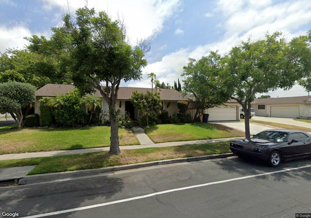
8512 Bel Air St Buena Park, CA 90620
Estimated Value: $918,395 - $973,000
3
Beds
2
Baths
1,325
Sq Ft
$709/Sq Ft
Est. Value
About This Home
This home is located at 8512 Bel Air St, Buena Park, CA 90620 and is currently estimated at $938,849, approximately $708 per square foot. 8512 Bel Air St is a home located in Orange County with nearby schools including Glen H. Dysinger Sr. Elementary School, Dale Jr High School, and Savanna High School.
Ownership History
Date
Name
Owned For
Owner Type
Purchase Details
Closed on
Apr 27, 2005
Sold by
Sorenson Betty L
Bought by
Nicanor Fidel and Nicanor Maria
Current Estimated Value
Home Financials for this Owner
Home Financials are based on the most recent Mortgage that was taken out on this home.
Original Mortgage
$412,500
Interest Rate
5.72%
Mortgage Type
Fannie Mae Freddie Mac
Create a Home Valuation Report for This Property
The Home Valuation Report is an in-depth analysis detailing your home's value as well as a comparison with similar homes in the area
Home Values in the Area
Average Home Value in this Area
Purchase History
| Date | Buyer | Sale Price | Title Company |
|---|---|---|---|
| Nicanor Fidel | $550,000 | Lawyers Title Company |
Source: Public Records
Mortgage History
| Date | Status | Borrower | Loan Amount |
|---|---|---|---|
| Previous Owner | Nicanor Fidel | $412,500 |
Source: Public Records
Tax History Compared to Growth
Tax History
| Year | Tax Paid | Tax Assessment Tax Assessment Total Assessment is a certain percentage of the fair market value that is determined by local assessors to be the total taxable value of land and additions on the property. | Land | Improvement |
|---|---|---|---|---|
| 2025 | $8,634 | $766,646 | $672,894 | $93,752 |
| 2024 | $8,634 | $751,614 | $659,700 | $91,914 |
| 2023 | $7,433 | $647,128 | $573,207 | $73,921 |
| 2022 | $7,342 | $634,440 | $561,968 | $72,472 |
| 2021 | $7,236 | $622,000 | $550,949 | $71,051 |
| 2020 | $6,761 | $577,000 | $505,949 | $71,051 |
| 2019 | $6,714 | $577,000 | $505,949 | $71,051 |
| 2018 | $6,249 | $535,000 | $463,949 | $71,051 |
| 2017 | $5,747 | $497,000 | $425,949 | $71,051 |
| 2016 | $5,122 | $440,618 | $369,567 | $71,051 |
| 2015 | $5,065 | $434,000 | $364,016 | $69,984 |
| 2014 | $4,429 | $390,000 | $320,016 | $69,984 |
Source: Public Records
Map
Nearby Homes
- 2955 W Lincoln Ave Unit 7
- 8319 Hickory Dr
- 8452 Stanton Ave
- 2871 W Tyler Ave
- 400 N Syracuse St
- 605 N La Reina St
- 2943 W Lincoln Ave
- 7950 Jackson Way
- 3053 W Coolidge Ave
- Plan Two at Mason
- Plan Four at Mason
- Plan Three at Mason
- Plan Seven at Mason
- 109 S Laxore St
- 2770 W Lincoln Ave Unit 40
- 2770 W Lincoln Ave Unit 58
- 8054 Teakwood Cir
- 103 S Laxore St
- 106 S Laxore St Unit 407
- 107 S Laxore St
- 8292 Crescent Ave
- 8532 Bel Air St
- 8511 Bel Air St
- 8521 Cedar Dr
- 8542 Bel Air St
- 8541 Cedar Dr
- 8531 Bel Air St
- 8242 Crescent Ave
- 8562 Bel Air St
- 8541 Bel Air St
- 8318 Planetary Dr
- 8334 Planetary Dr
- 8561 Cedar Dr
- 8232 Crescent Ave
- 8348 Planetary Dr
- 8561 Bel Air St
- 8300 Crescent Ave
- 8572 Bel Air St
- 8499 Mercury Dr
- 8225 Mahogany Cir