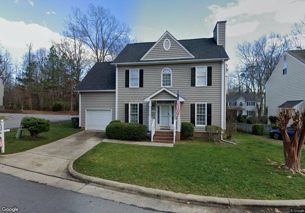
8512 Buscot Ct Raleigh, NC 27615
Durant NeighborhoodEstimated Value: $428,000 - $451,000
4
Beds
3
Baths
1,805
Sq Ft
$242/Sq Ft
Est. Value
About This Home
This home is located at 8512 Buscot Ct, Raleigh, NC 27615 and is currently estimated at $436,493, approximately $241 per square foot. 8512 Buscot Ct is a home located in Wake County with nearby schools including Durant Road Elementary, Durant Road Middle, and Millbrook High School.
Ownership History
Date
Name
Owned For
Owner Type
Purchase Details
Closed on
Sep 11, 2018
Sold by
Szlosberg Landis Nina E
Bought by
Landis Howard K
Current Estimated Value
Purchase Details
Closed on
Aug 17, 2001
Sold by
Bruchok Bret Ryan and Bruchok Robin Griffen
Bought by
Duggins Albert L
Home Financials for this Owner
Home Financials are based on the most recent Mortgage that was taken out on this home.
Original Mortgage
$169,435
Interest Rate
7.18%
Mortgage Type
VA
Purchase Details
Closed on
Sep 23, 1998
Sold by
Horlick Edward Steven and Susan Jane
Bought by
Bruchok Bret Ryan and Bruchok Robin Griffen
Home Financials for this Owner
Home Financials are based on the most recent Mortgage that was taken out on this home.
Original Mortgage
$156,570
Interest Rate
6.92%
Mortgage Type
VA
Create a Home Valuation Report for This Property
The Home Valuation Report is an in-depth analysis detailing your home's value as well as a comparison with similar homes in the area
Home Values in the Area
Average Home Value in this Area
Purchase History
| Date | Buyer | Sale Price | Title Company |
|---|---|---|---|
| Landis Howard K | -- | None Available | |
| Duggins Albert L | $164,500 | -- | |
| Bruchok Bret Ryan | $153,500 | -- |
Source: Public Records
Mortgage History
| Date | Status | Borrower | Loan Amount |
|---|---|---|---|
| Previous Owner | Duggins Albert L | $169,435 | |
| Previous Owner | Bruchok Bret Ryan | $156,570 |
Source: Public Records
Tax History Compared to Growth
Tax History
| Year | Tax Paid | Tax Assessment Tax Assessment Total Assessment is a certain percentage of the fair market value that is determined by local assessors to be the total taxable value of land and additions on the property. | Land | Improvement |
|---|---|---|---|---|
| 2025 | $3,572 | $407,333 | $115,000 | $292,333 |
| 2024 | $3,558 | $407,333 | $115,000 | $292,333 |
| 2023 | $3,107 | $283,197 | $75,000 | $208,197 |
| 2022 | $2,887 | $283,197 | $75,000 | $208,197 |
| 2021 | $2,776 | $283,197 | $75,000 | $208,197 |
| 2020 | $2,725 | $283,197 | $75,000 | $208,197 |
| 2019 | $2,511 | $214,930 | $70,000 | $144,930 |
| 2018 | $2,368 | $214,930 | $70,000 | $144,930 |
| 2017 | $2,256 | $214,930 | $70,000 | $144,930 |
| 2016 | $2,210 | $214,930 | $70,000 | $144,930 |
| 2015 | $2,139 | $204,599 | $58,000 | $146,599 |
| 2014 | -- | $204,599 | $58,000 | $146,599 |
Source: Public Records
Map
Nearby Homes
- 8600 Clivedon Dr
- 8730 Courage Ct
- 3212 Loyal Ln
- 8913 Walking Stick Trail
- 9012 Walking Stick Trail
- 9101 Jackknife Trail
- 9013 Tenderfoot Trail
- 8700 Den Ct
- 2709 Iman Dr
- 9205 Dawnshire Rd
- 2324 Dahlgreen Rd
- 2505 Coxindale Dr
- 9512 Anson Grove Ln
- 8720 Paddle Wheel Dr
- 8641 Hobhouse Cir
- 8408 Astwell Ct
- 2408 Deanwood Dr
- 8437 Hobhouse Cir
- 2509 Goudy Dr
- 9212 Sayornis Ct
- 8504 Buscot Ct
- 8508 Clivedon Dr
- 8500 Buscot Ct
- 8501 Clivedon Dr
- 8509 Buscot Ct
- 8501 Buscot Ct
- 8516 Clivedon Dr
- 8504 Clivedon Dr
- 8500 Clivedon Dr
- 3113 Felbrigg Dr
- 8505 Buscot Ct
- 8512 Clivedon Dr
- 8520 Clivedon Dr
- 8508 Powis Cir
- 3109 Felbrigg Dr
- 8504 Powis Cir
- 8512 Powis Cir
- 8524 Clivedon Dr
- 8529 Clivedon Dr
- 3105 Felbrigg Dr