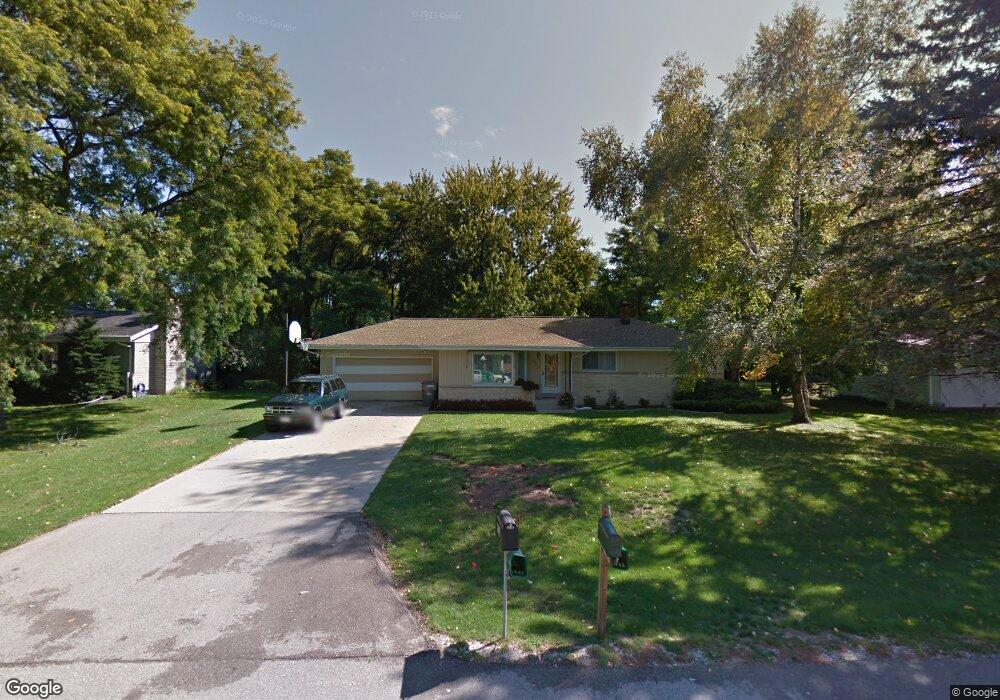
8518 N 62nd St Milwaukee, WI 53223
Estimated Value: $273,809 - $316,000
--
Bed
--
Bath
1,200
Sq Ft
$244/Sq Ft
Est. Value
About This Home
This home is located at 8518 N 62nd St, Milwaukee, WI 53223 and is currently estimated at $292,452, approximately $243 per square foot. 8518 N 62nd St is a home located in Milwaukee County with nearby schools including Brown Deer Elementary School, Brown Deer Middle/High School, and Institute of Technology and Academics.
Ownership History
Date
Name
Owned For
Owner Type
Purchase Details
Closed on
May 7, 2010
Sold by
Thurow Stuart B and Thurow Ardelle S
Bought by
Luckett Roby
Current Estimated Value
Home Financials for this Owner
Home Financials are based on the most recent Mortgage that was taken out on this home.
Original Mortgage
$117,600
Outstanding Balance
$79,246
Interest Rate
5.16%
Mortgage Type
New Conventional
Estimated Equity
$213,206
Create a Home Valuation Report for This Property
The Home Valuation Report is an in-depth analysis detailing your home's value as well as a comparison with similar homes in the area
Home Values in the Area
Average Home Value in this Area
Purchase History
| Date | Buyer | Sale Price | Title Company |
|---|---|---|---|
| Luckett Roby | $147,000 | Priority Title Corporation |
Source: Public Records
Mortgage History
| Date | Status | Borrower | Loan Amount |
|---|---|---|---|
| Open | Luckett Roby | $117,600 |
Source: Public Records
Tax History Compared to Growth
Tax History
| Year | Tax Paid | Tax Assessment Tax Assessment Total Assessment is a certain percentage of the fair market value that is determined by local assessors to be the total taxable value of land and additions on the property. | Land | Improvement |
|---|---|---|---|---|
| 2024 | $3,879 | $202,900 | $39,500 | $163,400 |
| 2023 | $3,879 | -- | -- | -- |
| 2022 | $3,879 | $181,300 | $39,500 | $141,800 |
| 2021 | $3,684 | $156,300 | $39,500 | $116,800 |
| 2020 | $3,604 | $140,600 | $39,500 | $101,100 |
| 2019 | $3,397 | $116,500 | $39,500 | $77,000 |
| 2018 | $3,917 | $116,500 | $39,500 | $77,000 |
| 2017 | $3,222 | $116,500 | $39,500 | $77,000 |
| 2016 | $3,301 | $116,500 | $39,500 | $77,000 |
| 2015 | $3,385 | $116,500 | $39,500 | $77,000 |
| 2014 | $4,004 | $137,500 | $47,600 | $89,900 |
| 2013 | $4,105 | $137,500 | $47,600 | $89,900 |
Source: Public Records
Map
Nearby Homes
- 5878 W Range Ave
- 5734 W Range Ave
- 8680 N 63rd St
- 6297 W Villa Ln
- 6206 W Fairlane Ave
- 5665 W Range Ave
- 5650 W Wahner Ave Unit 206
- 5400 W Dean Rd
- 8274 N 55th St
- 8498 N 68th St
- 8608 N 53rd St
- 8707 N 52nd St
- 8025 N 62nd St
- 6901 W Greenbrook Ct
- 7979 N 66th St
- 8657 N 72nd St
- 7871 N 60th St
- 8657 N 73rd St
- 9150 N 60th St
- 9125 N Brandybrook Trail