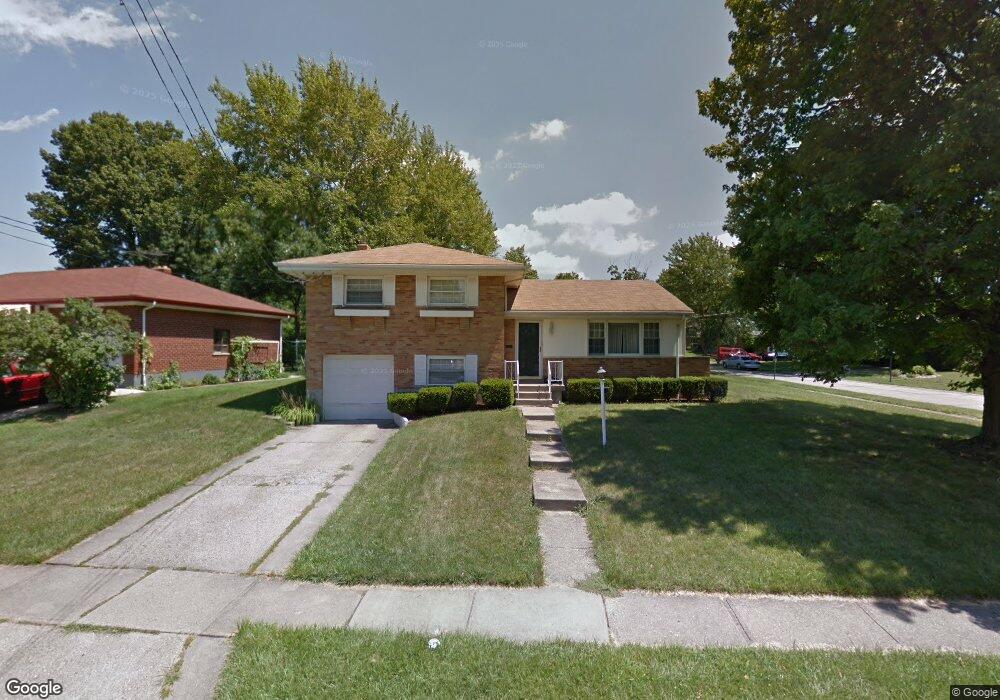
8520 Mockingbird Ln Cincinnati, OH 45231
Finneytown NeighborhoodEstimated Value: $211,000 - $238,000
3
Beds
2
Baths
1,540
Sq Ft
$147/Sq Ft
Est. Value
About This Home
This home is located at 8520 Mockingbird Ln, Cincinnati, OH 45231 and is currently estimated at $227,059, approximately $147 per square foot. 8520 Mockingbird Ln is a home located in Hamilton County with nearby schools including Finneytown Elementary School, Finneytown Secondary Campus, and St. Vivian School.
Ownership History
Date
Name
Owned For
Owner Type
Purchase Details
Closed on
Oct 2, 2002
Sold by
Debra Oestriecher
Bought by
Oestreicher Debra and Trifilio John
Current Estimated Value
Create a Home Valuation Report for This Property
The Home Valuation Report is an in-depth analysis detailing your home's value as well as a comparison with similar homes in the area
Home Values in the Area
Average Home Value in this Area
Purchase History
| Date | Buyer | Sale Price | Title Company |
|---|---|---|---|
| Oestreicher Debra | -- | Advanced Land Title Agency L |
Source: Public Records
Tax History
| Year | Tax Paid | Tax Assessment Tax Assessment Total Assessment is a certain percentage of the fair market value that is determined by local assessors to be the total taxable value of land and additions on the property. | Land | Improvement |
|---|---|---|---|---|
| 2025 | $4,072 | $57,957 | $13,447 | $44,510 |
| 2023 | $3,888 | $57,957 | $13,447 | $44,510 |
| 2022 | $3,278 | $35,424 | $10,560 | $24,864 |
| 2021 | $3,216 | $35,424 | $10,560 | $24,864 |
| 2020 | $3,268 | $35,424 | $10,560 | $24,864 |
| 2019 | $3,002 | $30,020 | $8,950 | $21,070 |
| 2018 | $2,772 | $30,020 | $8,950 | $21,070 |
| 2017 | $2,641 | $30,020 | $8,950 | $21,070 |
| 2016 | $2,786 | $31,115 | $8,995 | $22,120 |
| 2015 | $2,803 | $31,115 | $8,995 | $22,120 |
| 2014 | $2,805 | $31,115 | $8,995 | $22,120 |
| 2013 | $2,769 | $31,749 | $9,177 | $22,572 |
Source: Public Records
Map
Nearby Homes
- 1055 Hempstead Dr
- 8628 Mockingbird Ln
- 1144 Hempstead Dr
- 1006 Hearthstone Dr
- 1116 Madeleine Cir
- 1088 Pinehollow Ln
- 8754 Monsanto Dr
- 8829 Mockingbird Ln
- 958 Hollytree Dr
- 881 Sabino Ct
- 1165 W Galbraith Rd
- 1101 Meadowind Ct
- 1297 Landis Ln
- 8943 Monsanto Dr
- 8719 Hood Ct
- 816 Sabino Ct
- 838 W Galbraith Rd
- 9137 Fontainebleau Terrace
- 833 W Galbraith Rd
- 8771 Desoto Dr
- 8536 Mockingbird Ln
- 1064 Bluejay Dr
- 8548 Mockingbird Ln
- 1071 Bluejay Dr
- 1056 Bluejay Dr
- 8515 Mockingbird Ln
- 8527 Mockingbird Ln
- 8505 Mockingbird Ln
- 1061 Bluejay Dr
- 8539 Mockingbird Ln
- 1048 Bluejay Dr
- 1065 Redbird Dr
- 1069 Redbird Dr
- 8486 Mockingbird Ln
- 8497 Mockingbird Ln
- 1051 Bluejay Dr
- 8549 Mockingbird Ln
- 1057 Redbird Dr
- 8489 Mockingbird Ln
- 1040 Bluejay Dr
Your Personal Tour Guide
Ask me questions while you tour the home.