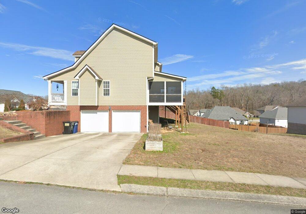
8522 Derry Berry Ln Unit 130 Hixson, TN 37343
Estimated Value: $418,972 - $429,000
--
Bed
3
Baths
2,336
Sq Ft
$181/Sq Ft
Est. Value
About This Home
This home is located at 8522 Derry Berry Ln Unit 130, Hixson, TN 37343 and is currently estimated at $422,493, approximately $180 per square foot. 8522 Derry Berry Ln Unit 130 is a home located in Hamilton County.
Ownership History
Date
Name
Owned For
Owner Type
Purchase Details
Closed on
May 14, 2020
Sold by
Gurusamy Marimuthu
Bought by
White Michael Quentin and White Jessica
Current Estimated Value
Home Financials for this Owner
Home Financials are based on the most recent Mortgage that was taken out on this home.
Original Mortgage
$200,000
Outstanding Balance
$177,228
Interest Rate
3.3%
Mortgage Type
New Conventional
Estimated Equity
$245,265
Purchase Details
Closed on
Dec 22, 2010
Sold by
Fatherson Partnership Two
Bought by
Gurusamy Marimuthu
Home Financials for this Owner
Home Financials are based on the most recent Mortgage that was taken out on this home.
Original Mortgage
$182,259
Interest Rate
4.25%
Mortgage Type
FHA
Create a Home Valuation Report for This Property
The Home Valuation Report is an in-depth analysis detailing your home's value as well as a comparison with similar homes in the area
Home Values in the Area
Average Home Value in this Area
Purchase History
| Date | Buyer | Sale Price | Title Company |
|---|---|---|---|
| White Michael Quentin | $268,000 | None Available | |
| Gurusamy Marimuthu | $187,000 | Pioneer Title Agency Inc |
Source: Public Records
Mortgage History
| Date | Status | Borrower | Loan Amount |
|---|---|---|---|
| Open | White Michael Quentin | $200,000 | |
| Previous Owner | Gurusamy Marimuthu | $182,259 |
Source: Public Records
Tax History Compared to Growth
Tax History
| Year | Tax Paid | Tax Assessment Tax Assessment Total Assessment is a certain percentage of the fair market value that is determined by local assessors to be the total taxable value of land and additions on the property. | Land | Improvement |
|---|---|---|---|---|
| 2024 | $1,464 | $65,450 | $0 | $0 |
| 2023 | $1,473 | $65,450 | $0 | $0 |
| 2022 | $1,473 | $65,450 | $0 | $0 |
| 2021 | $1,473 | $65,450 | $0 | $0 |
| 2020 | $1,505 | $54,100 | $0 | $0 |
| 2019 | $1,505 | $54,100 | $0 | $0 |
| 2018 | $1,505 | $54,100 | $0 | $0 |
| 2017 | $1,505 | $54,100 | $0 | $0 |
| 2016 | $1,305 | $0 | $0 | $0 |
| 2015 | $1,305 | $46,875 | $0 | $0 |
| 2014 | $1,305 | $0 | $0 | $0 |
Source: Public Records
Map
Nearby Homes
- 9111 Beranke Ln
- 8549 Demars Ln
- 9080 Wood Dale Ln
- 9370 Chirping Rd
- 1013 Kenny Way
- 9226 Sugar Pine Dr
- 1077 Carol Jean Trail
- 8610 Daisy Dallas Rd
- 322 Fox Gap Ln
- 318 Fox Gap Ln
- 914 Hickory Ave
- 8979 Hale Rd
- 9619 Fox Gap Ln
- 317 Fox Gap Ln
- 327 Fox Gap Ln
- 323 Fox Gap Ln
- 8725 Walnut Rd
- 1470 Alex Ln
- 9049 Polan Ln
- 9064 Mandy Ln
- 8522 Derry Berry Ln
- 9240 Wood Dale Ln Unit 131
- 9240 Wood Dale Ln
- 8538 Derry Berry Ln
- 8538 Derry Berry Ln Unit 129
- 8523 Derry Berry Ln
- 9227 Wood Dale Ln
- 9227 Wood Dale Ln Unit 49
- 9227 Wood Dale Ln Unit 48
- 9252 Wood Dale Ln Unit 132
- 9252 Wood Dale Ln
- 8479 Booth Bay Dr
- 8479 Booth Bay Dr Unit 133
- 9170 Wood Dale Ln
- 9170 Wood Dale Ln Unit 110
- 8544 Derry Berry Ln
- 9203 Wood Dale Ln
- 9203 Wood Dale Ln Unit 50
- 9137 Beranke Ln
- 8491 Booth Bay Dr