8522 Unity Dr Mountain Iron, MN 55768
Estimated Value: $212,000 - $461,000
2
Beds
2
Baths
2,256
Sq Ft
$132/Sq Ft
Est. Value
About This Home
This home is located at 8522 Unity Dr, Mountain Iron, MN 55768 and is currently estimated at $297,487, approximately $131 per square foot. 8522 Unity Dr is a home located in St. Louis County with nearby schools including Merritt Elementary School and Mountain Iron-Buhl Secondary School.
Ownership History
Date
Name
Owned For
Owner Type
Purchase Details
Closed on
Dec 12, 2023
Sold by
Waldorf Raymond J and Waldorf Shelley M
Bought by
Dall Debra C and Dall Glenn B
Current Estimated Value
Purchase Details
Closed on
Jan 2, 2007
Sold by
Sweet Belinda A
Bought by
Waldorf Raymond J and Waldorf Shelley M
Purchase Details
Closed on
Oct 26, 2005
Sold by
Thorson Gerald T and Thorson Linda J
Bought by
Sweet Belinda A
Home Financials for this Owner
Home Financials are based on the most recent Mortgage that was taken out on this home.
Original Mortgage
$144,500
Interest Rate
6.13%
Mortgage Type
Fannie Mae Freddie Mac
Purchase Details
Closed on
Jul 27, 2004
Sold by
Wiinanen Arne M and Wiinanen Helena R A
Bought by
Thorson Gerald T and Thorson Linda J
Home Financials for this Owner
Home Financials are based on the most recent Mortgage that was taken out on this home.
Original Mortgage
$120,000
Interest Rate
6.08%
Mortgage Type
Purchase Money Mortgage
Create a Home Valuation Report for This Property
The Home Valuation Report is an in-depth analysis detailing your home's value as well as a comparison with similar homes in the area
Home Values in the Area
Average Home Value in this Area
Purchase History
| Date | Buyer | Sale Price | Title Company |
|---|---|---|---|
| Dall Debra C | $245,000 | Up North Title | |
| Waldorf Raymond J | $190,000 | All American Title Company | |
| Sweet Belinda A | $189,500 | Consolidated Title & Abstrac | |
| Thorson Gerald T | $150,000 | Consolidated |
Source: Public Records
Mortgage History
| Date | Status | Borrower | Loan Amount |
|---|---|---|---|
| Previous Owner | Sweet Belinda A | $144,500 | |
| Previous Owner | Thorson Gerald T | $120,000 |
Source: Public Records
Tax History
| Year | Tax Paid | Tax Assessment Tax Assessment Total Assessment is a certain percentage of the fair market value that is determined by local assessors to be the total taxable value of land and additions on the property. | Land | Improvement |
|---|---|---|---|---|
| 2024 | $1,626 | $203,800 | $62,500 | $141,300 |
| 2023 | $1,626 | $203,800 | $62,500 | $141,300 |
| 2022 | $2,316 | $193,800 | $62,500 | $131,300 |
| 2021 | $2,158 | $175,700 | $48,800 | $126,900 |
| 2020 | $2,334 | $164,200 | $48,800 | $115,400 |
| 2019 | $2,442 | $172,100 | $43,100 | $129,000 |
| 2018 | $2,256 | $172,100 | $43,100 | $129,000 |
| 2017 | $2,178 | $172,200 | $43,200 | $129,000 |
| 2016 | $2,028 | $164,700 | $35,700 | $129,000 |
| 2015 | $2,168 | $156,800 | $45,700 | $111,100 |
| 2014 | $2,168 | $156,800 | $45,700 | $111,100 |
Source: Public Records
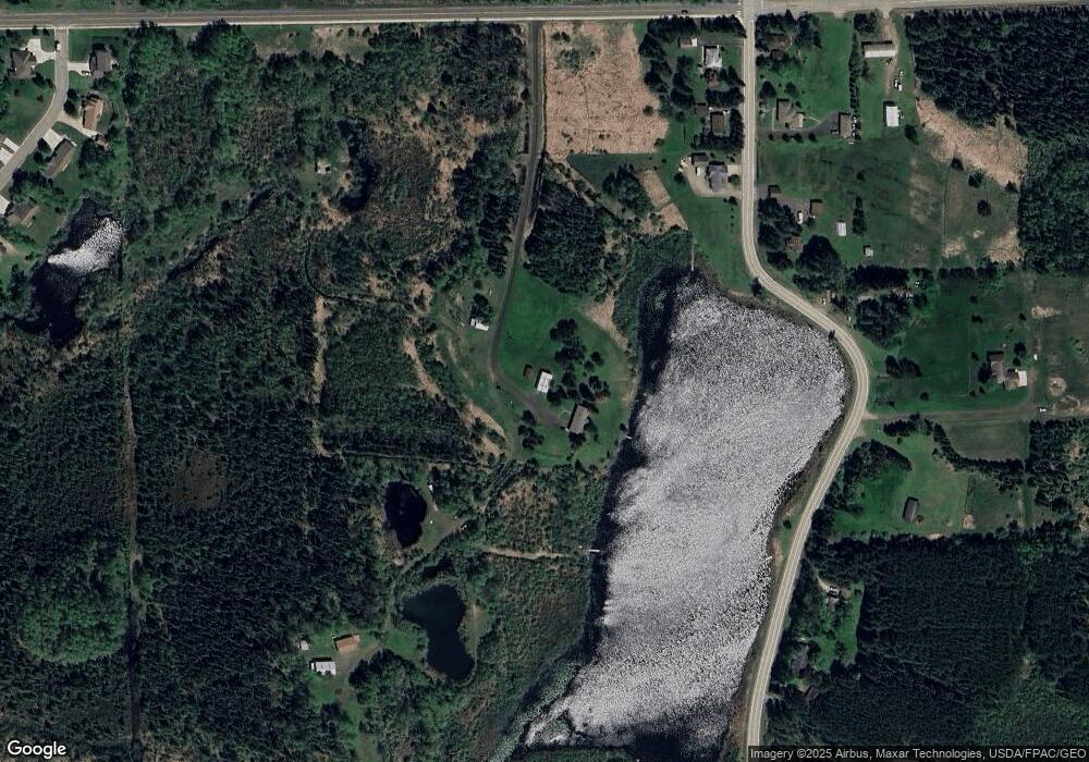
Map
Nearby Homes
- 5495 Daffodil Ave
- 5391 South Ct
- 1601 11th St S
- 1518 10th St S
- 1428 10th St S
- 87XX Arbor Ln
- 5451 Garden Dr N
- 1217 Cedar Ln Unit 1217
- 1203 Cedar Ln Unit 1203
- 1102 12th St S
- 1909 Southern Dr
- 813 6th St S
- 704 S 8th Ave W
- 528 10th St S
- 605 5th St S
- 505 8 1 2 St S
- 509 5th St S
- 515 S 5th Ave
- 922 S 5th Ave
- 824 12th St N
- 8433 Mud Lake Rd
- 8436 Mud Lake Rd
- 8462 Mud Lake Rd
- 8520 Unity Dr
- 8429 Mud Lake Rd
- 8470 Mud Lake Rd
- 8454 Mud Lake Rd
- 8430 Mud Lake Rd
- 8427 Mud Lake Rd
- 8487 Mud Lake Rd
- 8422 Unity Dr
- 8450 Mud Lake Rd
- 8416 Unity Dr
- TBD Unity Dr
- 8480 Mud Lake Rd
- 5496 Cameo Ln
- 5494 Cameo Ln
- 5492 Cameo Ln
- 5498 Cameo Ln
- 5490 Cameo Ln
Your Personal Tour Guide
Ask me questions while you tour the home.