Estimated Value: $622,000 - $1,885,929
4
Beds
4
Baths
4,275
Sq Ft
$293/Sq Ft
Est. Value
About This Home
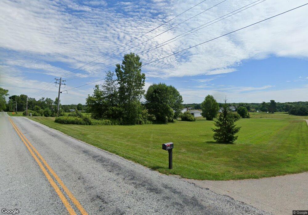
This home is located at 8525 Richman Rd, Lodi, OH 44254 and is currently estimated at $1,253,965, approximately $293 per square foot. 8525 Richman Rd is a home with nearby schools including Cloverleaf Elementary School, Cloverleaf Middle School, and Cloverleaf High School.
Ownership History
Date
Name
Owned For
Owner Type
Purchase Details
Closed on
Jul 24, 2014
Sold by
D Con Enterprises Llc
Bought by
Conwill David M
Current Estimated Value
Home Financials for this Owner
Home Financials are based on the most recent Mortgage that was taken out on this home.
Original Mortgage
$552,000
Outstanding Balance
$427,883
Interest Rate
4.2%
Mortgage Type
Construction
Estimated Equity
$826,082
Purchase Details
Closed on
Sep 11, 2013
Sold by
Scruggs Cheryl M and The Kies Revocable Trust
Bought by
D Con Enterprises Llc
Home Financials for this Owner
Home Financials are based on the most recent Mortgage that was taken out on this home.
Original Mortgage
$184,050
Interest Rate
4.39%
Mortgage Type
Future Advance Clause Open End Mortgage
Create a Home Valuation Report for This Property
The Home Valuation Report is an in-depth analysis detailing your home's value as well as a comparison with similar homes in the area
Home Values in the Area
Average Home Value in this Area
Purchase History
| Date | Buyer | Sale Price | Title Company |
|---|---|---|---|
| Conwill David M | -- | None Available | |
| D Con Enterprises Llc | $245,200 | Amer Land Title Affiliates L |
Source: Public Records
Mortgage History
| Date | Status | Borrower | Loan Amount |
|---|---|---|---|
| Open | Conwill David M | $552,000 | |
| Previous Owner | D Con Enterprises Llc | $184,050 |
Source: Public Records
Tax History Compared to Growth
Tax History
| Year | Tax Paid | Tax Assessment Tax Assessment Total Assessment is a certain percentage of the fair market value that is determined by local assessors to be the total taxable value of land and additions on the property. | Land | Improvement |
|---|---|---|---|---|
| 2024 | $27,629 | $707,560 | $77,460 | $630,100 |
| 2023 | $27,629 | $700,820 | $77,460 | $623,360 |
| 2022 | $17,361 | $435,280 | $77,460 | $357,820 |
| 2021 | $14,039 | $341,920 | $60,990 | $280,930 |
| 2020 | $14,300 | $341,920 | $60,990 | $280,930 |
| 2019 | $14,382 | $341,920 | $60,990 | $280,930 |
| 2018 | $13,522 | $307,280 | $62,570 | $244,710 |
| 2017 | $13,544 | $307,280 | $62,570 | $244,710 |
| 2016 | $13,778 | $307,280 | $62,570 | $244,710 |
| 2015 | $9,056 | $194,140 | $57,940 | $136,200 |
| 2014 | $3,471 | $77,210 | $77,210 | $0 |
| 2013 | $2,476 | $59,670 | $59,670 | $0 |
Source: Public Records
Map
Nearby Homes
- 120 Sunset
- 120 Sunset Unit 28
- 607 Bank St
- 125 Bank St
- 133 S Broadway St
- 207 Gaylord St
- 221 N Market St
- 220 Gaylord St
- 720 Medina St
- 207 Baker St
- 8123 Vandemark Rd
- 419 Young Dr
- 507 Creek Bend Trail
- 111 Anderson Cove
- 106 Anderson Cove Unit 206
- 7680 Vandemark Rd
- 7660 Vandemark Rd
- 8065 Kennard Rd
- 9835 Congress Rd
- 10933 SiMcOx Rd
- 8419 Richman Rd
- 8505 Richman Rd
- 8455 Richman Rd
- 8545 Richman Rd
- 390 Richman Rd
- 8421 Richman Rd
- 8421 Richman Rd
- 8349 Richman Rd
- 9564 Sanford Rd
- 8329 Richman Rd
- 8329 Richman Rd
- 8283 Richman Rd
- 8257 Richman Rd
- 8239 Richman Rd
- 8248 Avon Lake Rd
- 8250 Avon Lake Rd
- 8760 Richman Rd
- 83 Avon Lake Rd
- 108 May St
- 106 May St