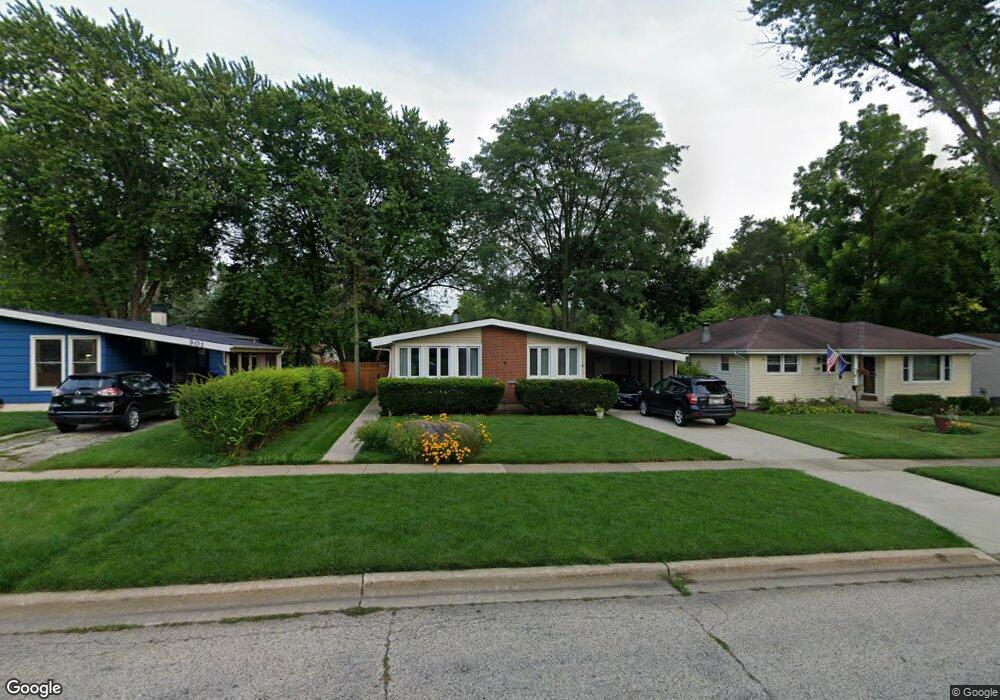
853 Countryside Hwy Unit A Mundelein, IL 60060
Mundelein Station NeighborhoodEstimated Value: $298,918 - $337,000
--
Bed
2
Baths
1,170
Sq Ft
$278/Sq Ft
Est. Value
About This Home
This home is located at 853 Countryside Hwy Unit A, Mundelein, IL 60060 and is currently estimated at $325,230, approximately $277 per square foot. 853 Countryside Hwy Unit A is a home located in Lake County with nearby schools including Diamond Lake Elementary School, West Oak Middle School, and Mundelein Cons High School.
Ownership History
Date
Name
Owned For
Owner Type
Purchase Details
Closed on
May 15, 1998
Sold by
Petros Andrew M and Griffith Petros Marcy Jane
Bought by
Mccue Joseph J and Mccue Amanda K
Current Estimated Value
Home Financials for this Owner
Home Financials are based on the most recent Mortgage that was taken out on this home.
Original Mortgage
$107,560
Outstanding Balance
$21,328
Interest Rate
7.27%
Estimated Equity
$303,902
Create a Home Valuation Report for This Property
The Home Valuation Report is an in-depth analysis detailing your home's value as well as a comparison with similar homes in the area
Home Values in the Area
Average Home Value in this Area
Purchase History
| Date | Buyer | Sale Price | Title Company |
|---|---|---|---|
| Mccue Joseph J | $134,500 | -- |
Source: Public Records
Mortgage History
| Date | Status | Borrower | Loan Amount |
|---|---|---|---|
| Open | Mccue Joseph J | $107,560 |
Source: Public Records
Tax History Compared to Growth
Tax History
| Year | Tax Paid | Tax Assessment Tax Assessment Total Assessment is a certain percentage of the fair market value that is determined by local assessors to be the total taxable value of land and additions on the property. | Land | Improvement |
|---|---|---|---|---|
| 2024 | $6,567 | $84,086 | $18,741 | $65,345 |
| 2023 | $6,672 | $77,556 | $17,286 | $60,270 |
| 2022 | $6,672 | $68,095 | $16,614 | $51,481 |
| 2021 | $6,423 | $66,629 | $16,256 | $50,373 |
| 2020 | $6,000 | $62,390 | $15,222 | $47,168 |
| 2019 | $5,915 | $61,796 | $15,077 | $46,719 |
| 2018 | $4,639 | $50,071 | $15,235 | $34,836 |
| 2017 | $4,570 | $48,490 | $14,754 | $33,736 |
| 2016 | $4,429 | $45,975 | $13,989 | $31,986 |
| 2015 | $4,272 | $42,971 | $13,075 | $29,896 |
| 2014 | $4,678 | $42,395 | $12,900 | $29,495 |
| 2012 | $4,595 | $48,595 | $14,787 | $33,808 |
Source: Public Records
Map
Nearby Homes
- 215 Brice Ave
- 841 Wilcox St
- 49 N Shaddle Ave
- 701 Thomas Ct
- 328 Brice Ave
- 31 Washington Blvd Unit 108
- 422 James Ave
- 510 S Hickory St
- 847 Mckinley Ave
- 659 E Maple Ave
- 1255 Huntington Dr
- 331 Plaza Cir
- 433 E High St
- 40 S Seymour Ave
- 640 Allanson Rd
- 29746 U S 45
- 342 Allanson Rd
- 422 Shadow Creek Dr
- 288 N Lincoln Ave
- 114 W Hawthorne Blvd
- 901 Countryside Hwy Unit A
- 849 Countryside Hwy
- 907 Countryside Hwy
- 845 Countryside Hwy
- 900 Noel Dr
- 852 Noel Dr
- 904 Noel Dr
- 913 Countryside Hwy
- 848 Noel Dr
- 841 Countryside Hwy
- 852 Countryside Hwy
- 914 Noel Dr
- 848 Countryside Hwy
- 904 Countryside Hwy
- 922 Noel Dr
- 844 Noel Dr Unit B
- 844 Countryside Hwy
- 919 Countryside Hwy
- 837 Countryside Hwy
- 908 Countryside Hwy