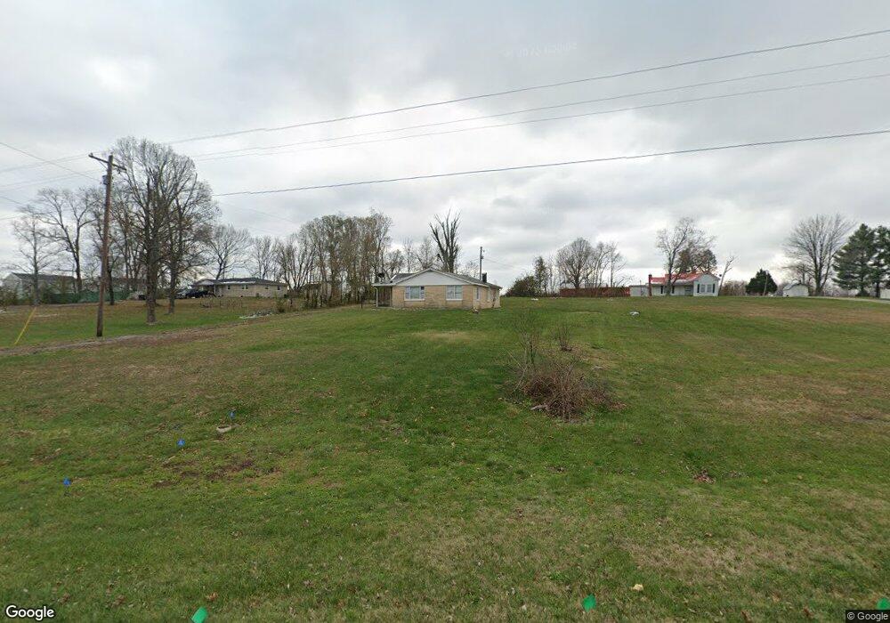
8533 Highway 44 E Mount Washington, KY 40047
Estimated Value: $134,142
3
Beds
1
Bath
1,315
Sq Ft
$102/Sq Ft
Est. Value
About This Home
This home is located at 8533 Highway 44 E, Mount Washington, KY 40047 and is currently estimated at $134,142, approximately $102 per square foot. 8533 Highway 44 E is a home located in Bullitt County with nearby schools including Mt. Washington Elementary School, Eastside Middle School, and Bullitt East High School.
Ownership History
Date
Name
Owned For
Owner Type
Purchase Details
Closed on
Jun 27, 2018
Sold by
Stanley Kenith and Stanley Mable
Bought by
Mt Washington Fire Protection District
Current Estimated Value
Home Financials for this Owner
Home Financials are based on the most recent Mortgage that was taken out on this home.
Original Mortgage
$100,000
Interest Rate
4.6%
Mortgage Type
New Conventional
Create a Home Valuation Report for This Property
The Home Valuation Report is an in-depth analysis detailing your home's value as well as a comparison with similar homes in the area
Home Values in the Area
Average Home Value in this Area
Purchase History
| Date | Buyer | Sale Price | Title Company |
|---|---|---|---|
| Mt Washington Fire Protection District | $102,500 | Wooldridge John |
Source: Public Records
Mortgage History
| Date | Status | Borrower | Loan Amount |
|---|---|---|---|
| Closed | Mt Washington Fire Protection District | $100,000 |
Source: Public Records
Tax History
| Year | Tax Paid | Tax Assessment Tax Assessment Total Assessment is a certain percentage of the fair market value that is determined by local assessors to be the total taxable value of land and additions on the property. | Land | Improvement |
|---|---|---|---|---|
| 2025 | -- | $109,110 | $35,000 | $74,110 |
| 2024 | -- | $109,110 | $35,000 | $74,110 |
| 2023 | $0 | $109,110 | $35,000 | $74,110 |
| 2022 | $0 | $102,500 | $35,000 | $67,500 |
| 2021 | $0 | $102,500 | $35,000 | $67,500 |
| 2020 | $0 | $102,500 | $35,000 | $67,500 |
| 2018 | $662 | $57,500 | $0 | $0 |
| 2017 | $653 | $57,500 | $0 | $0 |
| 2016 | $641 | $57,500 | $0 | $0 |
| 2015 | $1,070 | $57,500 | $0 | $0 |
| 2014 | $1,070 | $57,500 | $0 | $0 |
Source: Public Records
Map
Nearby Homes
- 317 Harvest Point Way Unit 222B
- 309 Harvest Point Way Unit 222A
- 309 Harvest Point Way
- 325 Harvest Point Way Unit 220-A
- 333 Harvest Pt Way Unit 224-B
- 129 Sunset Way
- 117 Sunset Way
- 214 Sunset Way
- 214 Sunset Way Unit 214-B
- 214B Sunset Way
- 214 Sunset Way Unit 214-A
- 143 Harvest Point Way Unit 138B
- 212B Harvest Point Way
- 212 Harvest Point Way Unit 212B
- 212A Harvest Point Way
- 212 Harvest Point Way Unit 212A
- 126 Bushel Way
- 645 Forest Ridge Dr
- 175 Melrose Place
- 129 Sunflower Blvd
- 8565 E Highway 44
- 8565 Highway 44 E
- 8507 Highway 44 E
- 8397 Highway 44 E
- 130 Cedar Brook Dr
- 222 Harvest Point Way Unit 222B
- 222 Harvest Point Way
- 222 Harvest Point Way Unit 222A
- 8291 Highway 44 E
- 8441 Highway 44 E
- 167 Cedar Brook Dr
- 301 Harvest Pt Way Unit 224-B
- 220 Harvest Point Way Unit 220-A
- 204 Cedar Brook Dr
- 137 Bushel Way
- 134 Sunset Way
- 143 Bushel Way
- 125 Bushel Way
- 234 Sunset Way
- 131 Bushel Way
Your Personal Tour Guide
Ask me questions while you tour the home.