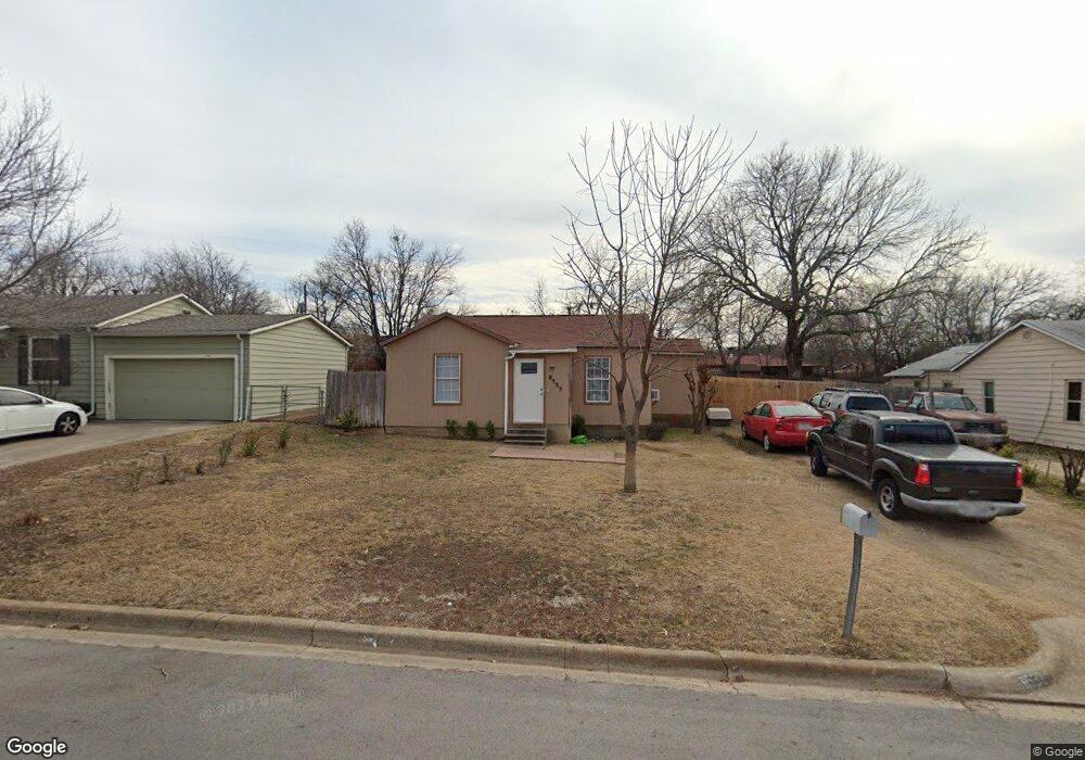
8533 Michael St Fort Worth, TX 76108
Estimated Value: $237,000
3
Beds
1
Bath
905
Sq Ft
$262/Sq Ft
Est. Value
About This Home
This home is located at 8533 Michael St, Fort Worth, TX 76108 and is currently estimated at $237,000, approximately $261 per square foot. 8533 Michael St is a home located in Tarrant County with nearby schools including West Elementary School, Brewer Middle School, and Tannahill Intermediate School.
Ownership History
Date
Name
Owned For
Owner Type
Purchase Details
Closed on
Oct 13, 2023
Sold by
Garrett Melba Glenn
Bought by
Garrett Keith Allen
Current Estimated Value
Create a Home Valuation Report for This Property
The Home Valuation Report is an in-depth analysis detailing your home's value as well as a comparison with similar homes in the area
Home Values in the Area
Average Home Value in this Area
Purchase History
| Date | Buyer | Sale Price | Title Company |
|---|---|---|---|
| Garrett Keith Allen | -- | None Listed On Document |
Source: Public Records
Tax History Compared to Growth
Tax History
| Year | Tax Paid | Tax Assessment Tax Assessment Total Assessment is a certain percentage of the fair market value that is determined by local assessors to be the total taxable value of land and additions on the property. | Land | Improvement |
|---|---|---|---|---|
| 2025 | $996 | $74,214 | $21,780 | $52,434 |
| 2024 | $1,660 | $74,214 | $21,780 | $52,434 |
| 2023 | $1,660 | $69,832 | $21,780 | $48,052 |
| 2022 | $1,423 | $52,528 | $12,500 | $40,028 |
| 2021 | $1,603 | $58,262 | $12,500 | $45,762 |
| 2020 | $1,378 | $49,718 | $12,500 | $37,218 |
| 2019 | $1,320 | $45,896 | $12,500 | $33,396 |
| 2018 | $993 | $34,526 | $6,000 | $28,526 |
| 2017 | $618 | $21,152 | $6,000 | $15,152 |
Source: Public Records
Map
Nearby Homes
- 8549 Michael St
- 8508 Michael St
- 1725 S Las Vegas Trail
- 8908 Jill St
- 8500 Wyatt Dr
- 800 Pemberton St
- 8437 Redonda St
- 428 S Las Vegas Trail
- 809 Mirike Dr
- 501 Pemberton St
- 911 Rumfield Rd
- 411 S Las Vegas Trail
- 409 S Las Vegas Trail
- 407 S Las Vegas Trail
- 405 S Las Vegas Trail
- 8237 Albert St
- 8354 Sussex St
- 8433 Downe Dr
- 641 S Redford Ln
- 9225 Marilyn Dr
- 8533 Michael St
- 8537 Michael St
- 8529 Michael St
- 8525 Michael St
- 8541 Michael St
- 8536 Gibbs Dr
- 8528 Gibbs Dr
- 8540 Gibbs Dr
- 8524 Gibbs Dr
- 8521 Michael St
- 8545 Michael St
- 8524 Michael St
- 8520 Michael St
- 8528 Michael St
- 8544 Gibbs Dr
- 8520 Gibbs Dr
- 8517 Michael St
- 8516 Michael St
- 8532 Michael St
- 8516 Gibbs Dr