8535 Quant Ave S Hastings, MN 55033
Denmark Township NeighborhoodEstimated Value: $639,000 - $971,000
1
Bed
2
Baths
877
Sq Ft
$852/Sq Ft
Est. Value
About This Home
This home is located at 8535 Quant Ave S, Hastings, MN 55033 and is currently estimated at $747,141, approximately $851 per square foot. 8535 Quant Ave S is a home located in Washington County with nearby schools including Hastings Middle School, Pinecrest Elementary School, and Hastings High School.
Ownership History
Date
Name
Owned For
Owner Type
Purchase Details
Closed on
Jan 14, 2019
Sold by
Lunde Nancy Jo and Gallager Nancy Jo
Bought by
Elles Jason John and Elles Kirsten
Current Estimated Value
Home Financials for this Owner
Home Financials are based on the most recent Mortgage that was taken out on this home.
Original Mortgage
$375,000
Outstanding Balance
$240,162
Interest Rate
4.7%
Mortgage Type
New Conventional
Estimated Equity
$506,979
Create a Home Valuation Report for This Property
The Home Valuation Report is an in-depth analysis detailing your home's value as well as a comparison with similar homes in the area
Home Values in the Area
Average Home Value in this Area
Purchase History
| Date | Buyer | Sale Price | Title Company |
|---|---|---|---|
| Elles Jason John | $500,000 | Titlesmart Inc |
Source: Public Records
Mortgage History
| Date | Status | Borrower | Loan Amount |
|---|---|---|---|
| Open | Elles Jason John | $375,000 |
Source: Public Records
Tax History Compared to Growth
Tax History
| Year | Tax Paid | Tax Assessment Tax Assessment Total Assessment is a certain percentage of the fair market value that is determined by local assessors to be the total taxable value of land and additions on the property. | Land | Improvement |
|---|---|---|---|---|
| 2024 | $6,286 | $774,100 | $570,000 | $204,100 |
| 2023 | $6,286 | $759,600 | $570,000 | $189,600 |
| 2022 | $4,822 | $718,600 | $515,100 | $203,500 |
| 2021 | $4,168 | $556,800 | $399,000 | $157,800 |
| 2020 | $4,094 | $475,300 | $330,000 | $145,300 |
| 2019 | $3,594 | $444,700 | $300,000 | $144,700 |
| 2018 | $3,494 | $383,500 | $250,000 | $133,500 |
| 2017 | $3,406 | $372,600 | $250,000 | $122,600 |
| 2016 | $3,510 | $371,800 | $250,000 | $121,800 |
| 2015 | $3,178 | $335,300 | $220,700 | $114,600 |
| 2013 | -- | $326,300 | $222,400 | $103,900 |
Source: Public Records
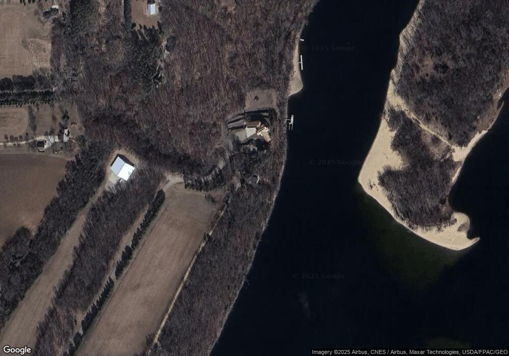
Map
Nearby Homes
- W12771 735th Ave
- 8180 Saint Croix Trail S
- 14930 70th St S
- 14868 Panoramic Rd S
- 6848 Omar Avenue Ct S
- 6785 104th St S
- 6744 104th St S
- XX L3B2 65th St S
- XX L4B3 65th St S
- XX L1B4 65th St S
- XXX (Parcel A) 90th St S
- 11253 Saint Croix Trail S
- 14440 59th St S
- N7453 County Road Qq
- N6493 1323rd St
- N6464 1323rd St
- 5161 Trading Post Trail S
- N6386 1317th St
- W11333 862nd St
- XXX Glen Cir
- 8487 Quant Ave S
- 8481 Quant Ave S
- 8313 Quadrant Ave S
- 8299 Quadrant Ave S
- 8501 Quadrant Ave S
- 8689 Quant Ave S
- 8287 Quadrant Ave S
- 8455 Quadrant Ave S
- 16155 87th St S
- 8401 Quadrant Ave S
- 8277 Quadrant Ave S
- 16125 87th St S
- 16117 87th St S
- 16395 80th St S
- W12566 770th Ave
- 16005 87th St S
- 16387 80th St S
- 8210 Quadrant Ave S
- 8089 Quadrant Ave S
- 15800 87th St S