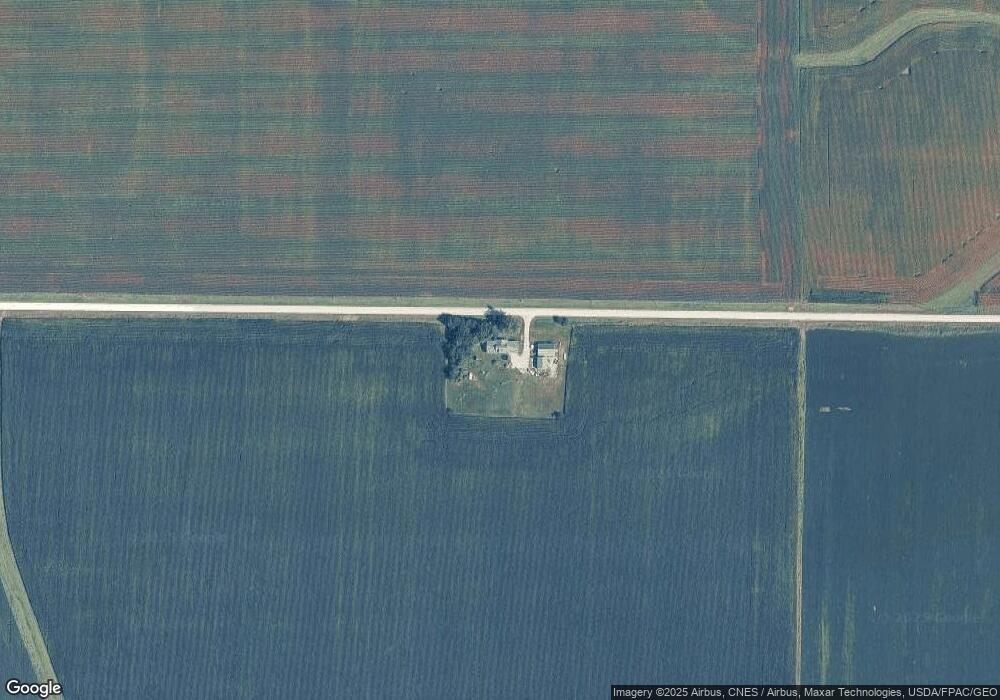
8538 E Gresham Rd Dunkerton, IA 50626
Estimated Value: $294,000 - $498,537
5
Beds
4
Baths
2,452
Sq Ft
$166/Sq Ft
Est. Value
About This Home
This home is located at 8538 E Gresham Rd, Dunkerton, IA 50626 and is currently estimated at $407,634, approximately $166 per square foot. 8538 E Gresham Rd is a home located in Black Hawk County with nearby schools including Dunkerton Elementary School and Dunkerton High School.
Ownership History
Date
Name
Owned For
Owner Type
Purchase Details
Closed on
Jul 15, 2005
Sold by
Anderson Jeffrey K and Anderson Lavonna
Bought by
Jasper John B and Jasper Crystal J
Current Estimated Value
Home Financials for this Owner
Home Financials are based on the most recent Mortgage that was taken out on this home.
Original Mortgage
$112,500
Interest Rate
5.69%
Mortgage Type
Purchase Money Mortgage
Purchase Details
Closed on
Jul 13, 2005
Sold by
Anderson Kurtis G
Bought by
Jasper John B and Jasper Crystal J
Home Financials for this Owner
Home Financials are based on the most recent Mortgage that was taken out on this home.
Original Mortgage
$112,500
Interest Rate
5.69%
Mortgage Type
Purchase Money Mortgage
Create a Home Valuation Report for This Property
The Home Valuation Report is an in-depth analysis detailing your home's value as well as a comparison with similar homes in the area
Purchase History
| Date | Buyer | Sale Price | Title Company |
|---|---|---|---|
| Jasper John B | -- | None Available | |
| Jasper John B | $76,500 | None Available |
Source: Public Records
Mortgage History
| Date | Status | Borrower | Loan Amount |
|---|---|---|---|
| Closed | Jasper John B | $112,500 |
Source: Public Records
Tax History
| Year | Tax Paid | Tax Assessment Tax Assessment Total Assessment is a certain percentage of the fair market value that is determined by local assessors to be the total taxable value of land and additions on the property. | Land | Improvement |
|---|---|---|---|---|
| 2025 | $4,334 | $459,920 | $65,400 | $394,520 |
| 2024 | $4,334 | $359,520 | $54,500 | $305,020 |
| 2023 | $2,426 | $208,160 | $54,500 | $153,660 |
| 2022 | $2,386 | $175,360 | $43,600 | $131,760 |
| 2021 | $2,276 | $175,360 | $43,600 | $131,760 |
| 2020 | $2,078 | $147,150 | $26,350 | $120,800 |
| 2019 | $2,078 | $147,150 | $26,350 | $120,800 |
| 2018 | $2,100 | $147,150 | $26,350 | $120,800 |
| 2017 | $2,126 | $147,150 | $26,350 | $120,800 |
| 2016 | $1,470 | $147,150 | $26,350 | $120,800 |
| 2015 | $1,470 | $102,950 | $2,910 | $100,040 |
| 2014 | $1,590 | $108,870 | $5,720 | $103,150 |
Source: Public Records
Map
Nearby Homes
- 5721 E Gresham Rd
- 7603 N Raymond Rd
- 213 Brookside Dr
- 1202 Jon Rd
- 101 S Washington St
- 301 W Sycamore St
- 619 Sal Ave
- 807 Janet Dr Dr Unit D
- Lot 2 Jon Rd
- 412 E 4th St
- 203 E Ridge St Unit 2
- 205 Grove St
- 1077 Butler Ave
- 606 W View Dr
- 603 Parkview Dr
- 106 S 3rd St
- 410 Lakeside Dr
- 506 2nd St NE
- 103 6th St
- 203 6th St
- 8920 E Gresham Rd
- 8121 E Gresham Rd
- 9200 N Canfield Rd
- 8744 N Canfield Rd
- 9303 N Canfield Rd
- 9308 N Canfield Rd
- 8714 N Canfield Rd
- 8521 N Canfield Rd
- 8515 N Canfield Rd
- 9510 N Canfield Rd
- 7741 E Gresham Rd
- 8204 N Canfield Rd
- 9737 N Canfield Rd
- 9741 N Canfield Rd
- 8210 N Pilot Grove Rd
- 8517 E Cedar Wapsi Rd
- 8234 E Marquis Rd
- 2961 Marquis Rd
Your Personal Tour Guide
Ask me questions while you tour the home.