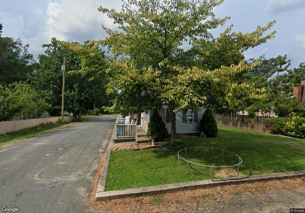
854 Brookside Ave Keyport, NJ 07735
Estimated Value: $415,000 - $473,000
3
Beds
1
Bath
1,116
Sq Ft
$400/Sq Ft
Est. Value
About This Home
This home is located at 854 Brookside Ave, Keyport, NJ 07735 and is currently estimated at $446,898, approximately $400 per square foot. 854 Brookside Ave is a home located in Monmouth County with nearby schools including Matawan Reg High School, Icob Academy, and St. Joseph Elementary School.
Ownership History
Date
Name
Owned For
Owner Type
Purchase Details
Closed on
Jul 16, 2021
Sold by
Caporusso Edna L and Estate Of Joseph B Caporusso
Bought by
Caporusso Edna L
Current Estimated Value
Purchase Details
Closed on
Jun 10, 2002
Sold by
Hud
Bought by
Caporusso Joseph
Home Financials for this Owner
Home Financials are based on the most recent Mortgage that was taken out on this home.
Original Mortgage
$103,934
Interest Rate
6.73%
Purchase Details
Closed on
Jan 30, 1996
Sold by
Higgings Thomas
Bought by
Juett Timothy and Juett Vernita
Home Financials for this Owner
Home Financials are based on the most recent Mortgage that was taken out on this home.
Original Mortgage
$112,000
Interest Rate
7.1%
Create a Home Valuation Report for This Property
The Home Valuation Report is an in-depth analysis detailing your home's value as well as a comparison with similar homes in the area
Home Values in the Area
Average Home Value in this Area
Purchase History
| Date | Buyer | Sale Price | Title Company |
|---|---|---|---|
| Caporusso Edna L | -- | None Available | |
| Caporusso Joseph | $129,918 | -- | |
| Juett Timothy | $114,900 | -- |
Source: Public Records
Mortgage History
| Date | Status | Borrower | Loan Amount |
|---|---|---|---|
| Previous Owner | Caporusso Joseph | $103,934 | |
| Previous Owner | Juett Timothy | $112,000 |
Source: Public Records
Tax History
| Year | Tax Paid | Tax Assessment Tax Assessment Total Assessment is a certain percentage of the fair market value that is determined by local assessors to be the total taxable value of land and additions on the property. | Land | Improvement |
|---|---|---|---|---|
| 2025 | $7,062 | $393,200 | $268,800 | $124,400 |
| 2024 | $6,348 | $344,500 | $222,400 | $122,100 |
| 2023 | $6,348 | $292,800 | $179,600 | $113,200 |
| 2022 | $6,552 | $264,700 | $156,900 | $107,800 |
| 2021 | $6,552 | $240,100 | $144,300 | $95,800 |
| 2020 | $6,308 | $230,400 | $136,700 | $93,700 |
| 2019 | $6,112 | $216,800 | $123,700 | $93,100 |
| 2018 | $5,778 | $205,100 | $116,300 | $88,800 |
| 2017 | $5,787 | $208,400 | $122,300 | $86,100 |
| 2016 | $5,223 | $196,200 | $112,300 | $83,900 |
| 2015 | $5,109 | $184,100 | $102,300 | $81,800 |
| 2014 | $5,139 | $188,500 | $107,300 | $81,200 |
Source: Public Records
Map
Nearby Homes
- 108 W Concourse
- 87 W Concourse
- 998 Woodmere Dr
- 76 Woodland Dr
- 910 Malden Dr
- 83 Seawood Dr
- 1018 Woodmere Dr
- 979 N Concourse
- 882 Woodmere Dr
- 729 Cliffwood Ave
- 70 Ocean Blvd
- 66 Pacific Blvd
- 181 Hilltop Blvd
- 440 Smith Ct
- 95 Broadway
- 2 Chingarora Ave
- 14 1st St
- 369 Riverdale Dr
- 9 Kearney St Unit A
- 185 van Cleaf Ln
- 858 Brookside Ave
- 862 Brookside Ave
- 114 Elm Place
- 846 Brookside Ave
- 110 Elm Place
- 855 Brookside Ave
- 111 Elm Place
- 859 Brookside Ave
- 844 Brookside Ave
- 847 Brookside Ave
- 113 Wayside Dr
- 109 Wayside Dr
- 119 Wayside Dr
- 843 Brookside Ave
- 840 Brookside Ave
- 105 Elm Place
- 107 Wayside Dr
- 105 Wayside Dr
- 114 W Concourse
- 120 W Concourse
Your Personal Tour Guide
Ask me questions while you tour the home.