854 Davis Hill Rd Center Conway, NH 03813
Estimated Value: $451,000 - $483,000
3
Beds
2
Baths
1,728
Sq Ft
$269/Sq Ft
Est. Value
About This Home
This home is located at 854 Davis Hill Rd, Center Conway, NH 03813 and is currently estimated at $464,800, approximately $268 per square foot. 854 Davis Hill Rd is a home located in Carroll County with nearby schools including A. Crosby Kennett Middle School, Kennett High School, and Cady Memorial School.
Ownership History
Date
Name
Owned For
Owner Type
Purchase Details
Closed on
Feb 24, 2022
Sold by
Mary Tuzzo Lt and Tuzzo
Bought by
Macdonald Cynthia A
Current Estimated Value
Home Financials for this Owner
Home Financials are based on the most recent Mortgage that was taken out on this home.
Original Mortgage
$150,000
Outstanding Balance
$139,021
Interest Rate
3.55%
Mortgage Type
Purchase Money Mortgage
Estimated Equity
$325,779
Purchase Details
Closed on
Apr 3, 2019
Sold by
Tuzzo Mary
Bought by
Mary Tuzzo Lt
Purchase Details
Closed on
Aug 23, 2004
Sold by
Dennis David
Bought by
Tuzzo Vincent and Tuzzo Mary
Home Financials for this Owner
Home Financials are based on the most recent Mortgage that was taken out on this home.
Original Mortgage
$172,000
Interest Rate
6.03%
Mortgage Type
Purchase Money Mortgage
Create a Home Valuation Report for This Property
The Home Valuation Report is an in-depth analysis detailing your home's value as well as a comparison with similar homes in the area
Home Values in the Area
Average Home Value in this Area
Purchase History
| Date | Buyer | Sale Price | Title Company |
|---|---|---|---|
| Macdonald Cynthia A | $374,000 | None Available | |
| Mary Tuzzo Lt | -- | -- | |
| Mary Tuzzo Lt | -- | -- | |
| Tuzzo Vincent | $215,000 | -- |
Source: Public Records
Mortgage History
| Date | Status | Borrower | Loan Amount |
|---|---|---|---|
| Open | Macdonald Cynthia A | $150,000 | |
| Previous Owner | Tuzzo Vincent | $150,420 | |
| Previous Owner | Tuzzo Vincent | $172,000 |
Source: Public Records
Tax History Compared to Growth
Tax History
| Year | Tax Paid | Tax Assessment Tax Assessment Total Assessment is a certain percentage of the fair market value that is determined by local assessors to be the total taxable value of land and additions on the property. | Land | Improvement |
|---|---|---|---|---|
| 2024 | $4,499 | $374,900 | $80,400 | $294,500 |
| 2023 | $4,045 | $374,900 | $80,400 | $294,500 |
| 2022 | $3,637 | $199,400 | $59,800 | $139,600 |
| 2021 | $3,258 | $199,400 | $59,800 | $139,600 |
| 2020 | $3,468 | $199,400 | $59,800 | $139,600 |
| 2019 | $3,454 | $199,400 | $59,800 | $139,600 |
| 2018 | $3,563 | $175,000 | $60,200 | $114,800 |
| 2017 | $3,497 | $175,000 | $60,200 | $114,800 |
| 2016 | $3,379 | $175,000 | $60,200 | $114,800 |
| 2015 | $3,343 | $175,100 | $60,200 | $114,900 |
| 2014 | $3,302 | $175,100 | $60,200 | $114,900 |
| 2013 | $3,184 | $178,300 | $60,200 | $118,100 |
Source: Public Records
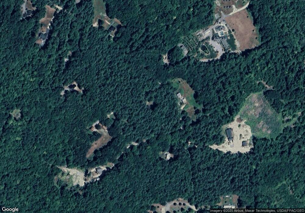
Map
Nearby Homes
- 827 Davis Hill Rd
- 00 Brownfield Rd Unit 11
- 00 Davis Hill Rd Unit 97
- 361 Davis Hill Rd
- 289 Davis Hill Rd
- 293 Pemigewasset Dr
- 33 Sands Cir
- 106 Pemigewasset Dr
- 48 Sands Cir Unit 48D
- 25 Singer Ln
- 574 Old Mill Rd
- 42 Harmony Ln Unit 5
- 470 Center Conway Rd
- 1049 E Main St
- 1440 E Conway Rd
- 63 Mill St
- 43 Wildwood Way
- 14 Goldfinch Ln
- 169 Mountainvale Dr
- 158 Fox Hill Ln
- 846 Davis Hill Rd
- 920 Davis Hill Rd
- 770B Davis Hill Rd
- 770A Davis Hill Rd
- 783 Davis Hill Rd
- 872 Davis Hill Rd
- 962 Davis Hill Rd
- 751 Davis Hill Rd
- 965 Davis Hill Rd
- 744 Davis Hill Rd
- 1024 Davis Hill Rd
- 1042 Davis Hill Rd
- 962 Davis Rd
- 722 Davis Hill Rd
- 723 Davis Hill Rd
- 703 Davis Hill Rd
- 1076 Davis Hill Rd
- 1039 Davis Hill Rd
- 710 Davis Hill Rd
- 672 Davis Hill Rd