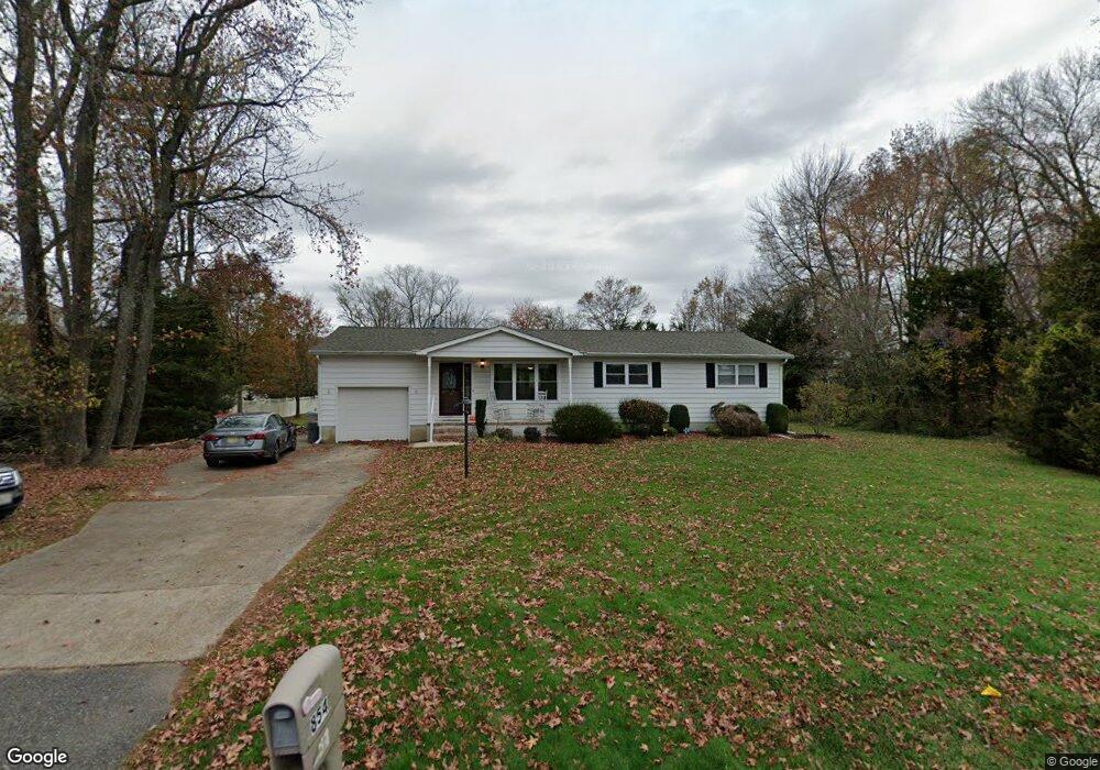
854 N Brewster Rd Vineland, NJ 08361
Estimated Value: $297,000 - $336,699
--
Bed
--
Bath
1,344
Sq Ft
$237/Sq Ft
Est. Value
About This Home
This home is located at 854 N Brewster Rd, Vineland, NJ 08361 and is currently estimated at $317,925, approximately $236 per square foot. 854 N Brewster Rd is a home located in Cumberland County with nearby schools including Pauline J. Petway Elementary School, Johnstone School, and Veterans Memorial Intermediate School.
Ownership History
Date
Name
Owned For
Owner Type
Purchase Details
Closed on
Jul 15, 2021
Sold by
Demarchi Robert L
Bought by
Demarchi Kimberly I and Demarchi Robert L
Current Estimated Value
Home Financials for this Owner
Home Financials are based on the most recent Mortgage that was taken out on this home.
Original Mortgage
$184,000
Outstanding Balance
$167,104
Interest Rate
2.96%
Mortgage Type
New Conventional
Estimated Equity
$150,821
Purchase Details
Closed on
Aug 30, 2002
Sold by
Juras Mary
Bought by
Demarchi Richard
Home Financials for this Owner
Home Financials are based on the most recent Mortgage that was taken out on this home.
Original Mortgage
$126,722
Interest Rate
6.39%
Create a Home Valuation Report for This Property
The Home Valuation Report is an in-depth analysis detailing your home's value as well as a comparison with similar homes in the area
Home Values in the Area
Average Home Value in this Area
Purchase History
| Date | Buyer | Sale Price | Title Company |
|---|---|---|---|
| Demarchi Kimberly I | -- | Misc Company | |
| Demarchi Robert L | -- | Foundation Title | |
| Demarchi Richard | $127,750 | -- | |
| -- | $127,800 | -- |
Source: Public Records
Mortgage History
| Date | Status | Borrower | Loan Amount |
|---|---|---|---|
| Open | Demarchi Robert L | $184,000 | |
| Previous Owner | -- | $126,722 |
Source: Public Records
Tax History Compared to Growth
Tax History
| Year | Tax Paid | Tax Assessment Tax Assessment Total Assessment is a certain percentage of the fair market value that is determined by local assessors to be the total taxable value of land and additions on the property. | Land | Improvement |
|---|---|---|---|---|
| 2025 | $4,798 | $150,700 | $39,300 | $111,400 |
| 2024 | $4,798 | $150,700 | $39,300 | $111,400 |
| 2023 | $4,767 | $150,700 | $39,300 | $111,400 |
| 2022 | $4,625 | $150,700 | $39,300 | $111,400 |
| 2021 | $4,541 | $150,700 | $39,300 | $111,400 |
| 2020 | $4,411 | $150,700 | $39,300 | $111,400 |
| 2019 | $4,351 | $150,700 | $39,300 | $111,400 |
| 2018 | $4,236 | $150,700 | $39,300 | $111,400 |
| 2017 | $4,024 | $150,700 | $39,300 | $111,400 |
| 2016 | $3,882 | $150,700 | $39,300 | $111,400 |
| 2015 | $3,739 | $150,700 | $39,300 | $111,400 |
| 2014 | $3,535 | $150,700 | $39,300 | $111,400 |
Source: Public Records
Map
Nearby Homes
- 866 N Brewster Rd
- 866 Chapel Dr
- 3020 E Oak Rd
- 667 Alps Place
- 2102 E Oak Rd Unit M4
- 254 Lawrence St
- 191 Redcrest St
- 1964 E Oak Rd Unit Q1
- 1964 E Oak Rd Unit G2
- 1964 E Oak Rd Unit N4
- 307 N Spring Rd
- 211 Oaklawn Terrace
- 29 N Brewster Rd
- 208 Oaklawn Terrace
- 101 Oaklawn Terrace
- 3258 E Landis Ave
- 0 E Oak Rd Unit NJCB2011142
- 3635 Maple Ave
- 208 S Brewster Rd
- 2818 Vine Rd
- 822 N Brewster Rd
- 841 N Brewster Rd
- 859 N Brewster Rd
- 2679 Old Farm Dr
- 790 N Brewster Rd
- 823 N Brewster Rd
- 2699 Old Farm Dr
- 2668 Old Farm Dr
- 2654 Old Farm Dr
- 2588 Simonelli Dr
- 2680 Old Farm Dr
- 2719 Old Farm Dr
- 2538 Simonelli Dr
- 2700 Old Farm Dr
- 2541 Old Farm Dr
- 2560 Old Farm Dr
- 2739 Old Farm Dr
- 2518 Simonelli Dr
- 742 N Brewster Rd
- 2720 Old Farm Dr