Estimated Value: $440,970 - $475,000
3
Beds
3
Baths
1,687
Sq Ft
$270/Sq Ft
Est. Value
About This Home
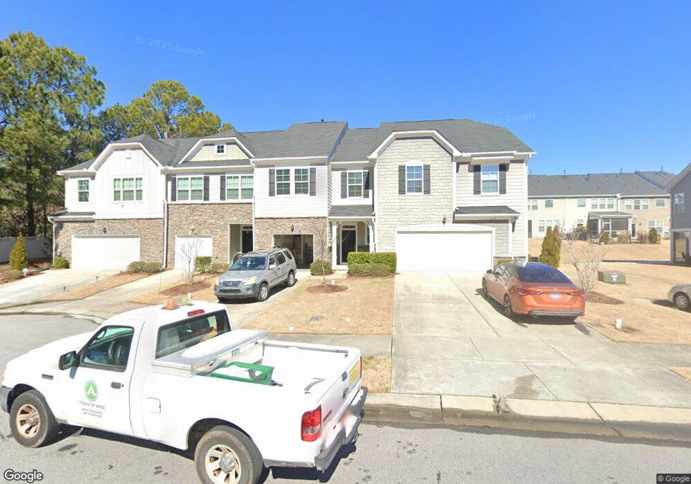
This home is located at 854 Salem Pointe Place Unit 41, Apex, NC 27523 and is currently estimated at $455,743, approximately $270 per square foot. 854 Salem Pointe Place Unit 41 is a home located in Wake County with nearby schools including Laurel Park Elementary, Salem Middle, and Green Hope High.
Ownership History
Date
Name
Owned For
Owner Type
Purchase Details
Closed on
Oct 19, 2020
Sold by
Byrd Kristopher Leon and Byrd Alisha Marlene
Bought by
Byrd Kristopher Leon and Byrd Alisha Marlene
Current Estimated Value
Home Financials for this Owner
Home Financials are based on the most recent Mortgage that was taken out on this home.
Original Mortgage
$250,750
Outstanding Balance
$222,622
Interest Rate
2.8%
Mortgage Type
New Conventional
Estimated Equity
$233,121
Purchase Details
Closed on
Aug 1, 2018
Sold by
Standard Pacific Of The Caolrinas Llc
Bought by
Byrd Kristopher Leon and Gardner Alisha Marlene
Home Financials for this Owner
Home Financials are based on the most recent Mortgage that was taken out on this home.
Original Mortgage
$253,543
Interest Rate
4.5%
Mortgage Type
New Conventional
Create a Home Valuation Report for This Property
The Home Valuation Report is an in-depth analysis detailing your home's value as well as a comparison with similar homes in the area
Home Values in the Area
Average Home Value in this Area
Purchase History
| Date | Buyer | Sale Price | Title Company |
|---|---|---|---|
| Byrd Kristopher Leon | -- | None Available | |
| Byrd Kristopher Leon | $285,000 | None Available |
Source: Public Records
Mortgage History
| Date | Status | Borrower | Loan Amount |
|---|---|---|---|
| Open | Byrd Kristopher Leon | $250,750 | |
| Closed | Byrd Kristopher Leon | $253,543 |
Source: Public Records
Tax History Compared to Growth
Tax History
| Year | Tax Paid | Tax Assessment Tax Assessment Total Assessment is a certain percentage of the fair market value that is determined by local assessors to be the total taxable value of land and additions on the property. | Land | Improvement |
|---|---|---|---|---|
| 2025 | $3,933 | $448,200 | $120,000 | $328,200 |
| 2024 | $3,845 | $448,200 | $120,000 | $328,200 |
| 2023 | $3,082 | $279,091 | $50,000 | $229,091 |
| 2022 | $2,893 | $279,091 | $50,000 | $229,091 |
| 2021 | $2,783 | $279,091 | $50,000 | $229,091 |
| 2020 | $2,755 | $279,091 | $50,000 | $229,091 |
| 2019 | $2,939 | $257,039 | $60,000 | $197,039 |
| 2018 | $0 | $60,000 | $60,000 | $0 |
Source: Public Records
Map
Nearby Homes
- 1529 Salem Church Rd
- 1009 Tahoe Glen Place
- 946 Steel Mill Ln
- Weston End Unit Plan at Parc at Bradley Farm
- Harrington End Unit Plan at Parc at Bradley Farm
- Harrington Interior Unit Plan at Parc at Bradley Farm
- 612 Cable Ct
- 728 Blossom Bay Ln
- 958 Bay Bouquet Ln
- 1702 Old London Way
- 113 Smokemont Dr
- 904 Dalton Ridge Place
- 238 Royal Tower Way
- 613 Abbey Hall Way
- 810 Richmont Grove Ln
- 1003 Lathrop Ln
- 414 Hilltop View St
- 114 Colchis Ct
- 109 Gatepost Ln
- 111 Colchis Ct
- 854 Salem Pointe Place
- 856 Salem Pointe Place Unit 40
- 852 Salem Pointe Place Unit 42
- 852 Salem Pointe Place
- 858 Salem Pointe Place Unit 39
- 837 New Derby Ln
- 837 New Derby Ln Unit 30
- 846 Salem Pointe Place Unit 43
- 846 Salem Pointe Place
- 855 New Derby Ln Unit 23
- 853 New Derby Ln Unit 24
- 844 Salem Pointe Place Unit 44
- 844 Salem Pointe Place
- 851 New Derby Ln Unit 25
- 857 New Derby Ln
- 857 New Derby Ln Unit 22
- 842 Salem Pointe Place
- 842 Salem Pointe Place Unit 45
- 853 Salem Pointe Place Unit 51
- 855 Salem Pointe Place Unit 50