854 Wynngate Dr Unit 20 Dillard, GA 30537
Estimated Value: $909,000 - $1,487,000
3
Beds
4
Baths
3,792
Sq Ft
$301/Sq Ft
Est. Value
About This Home
This home is located at 854 Wynngate Dr Unit 20, Dillard, GA 30537 and is currently estimated at $1,141,687, approximately $301 per square foot. 854 Wynngate Dr Unit 20 is a home located in Rabun County with nearby schools including Rabun County Primary School, Rabun County High School, and Rabun Gap Nacoochee School.
Ownership History
Date
Name
Owned For
Owner Type
Purchase Details
Closed on
Sep 18, 2020
Sold by
Thursby Jerry G
Bought by
Howell George Bidell and Howell Wynndolyn Wiesen
Current Estimated Value
Purchase Details
Closed on
Aug 27, 2008
Sold by
Not Provided
Bought by
Thursby Jerry G and Thursby Marie C
Purchase Details
Closed on
Nov 1, 2003
Bought by
Thursby Jerry G
Create a Home Valuation Report for This Property
The Home Valuation Report is an in-depth analysis detailing your home's value as well as a comparison with similar homes in the area
Home Values in the Area
Average Home Value in this Area
Purchase History
| Date | Buyer | Sale Price | Title Company |
|---|---|---|---|
| Howell George Bidell | $650,000 | -- | |
| Howell George Bidell | $650,000 | -- | |
| Thursby Jerry G | -- | -- | |
| Thursby Jerry G | -- | -- | |
| Thursby Jerry G | $132,000 | -- | |
| Thursby Jerry G | $132,000 | -- |
Source: Public Records
Tax History Compared to Growth
Tax History
| Year | Tax Paid | Tax Assessment Tax Assessment Total Assessment is a certain percentage of the fair market value that is determined by local assessors to be the total taxable value of land and additions on the property. | Land | Improvement |
|---|---|---|---|---|
| 2025 | $4,365 | $280,321 | $57,200 | $223,121 |
| 2024 | $4,279 | $268,608 | $57,200 | $211,408 |
| 2023 | $4,501 | $247,938 | $57,200 | $190,738 |
| 2022 | $4,153 | $228,926 | $44,000 | $184,926 |
| 2021 | $3,975 | $212,010 | $44,000 | $168,010 |
| 2020 | $3,862 | $199,113 | $44,000 | $155,113 |
| 2019 | $3,597 | $184,139 | $44,000 | $140,139 |
| 2018 | $3,610 | $184,139 | $44,000 | $140,139 |
| 2017 | $3,317 | $176,426 | $44,000 | $132,426 |
| 2016 | $3,326 | $176,426 | $44,000 | $132,426 |
| 2015 | $3,365 | $174,709 | $44,000 | $130,709 |
| 2014 | -- | $176,043 | $44,000 | $132,043 |
Source: Public Records
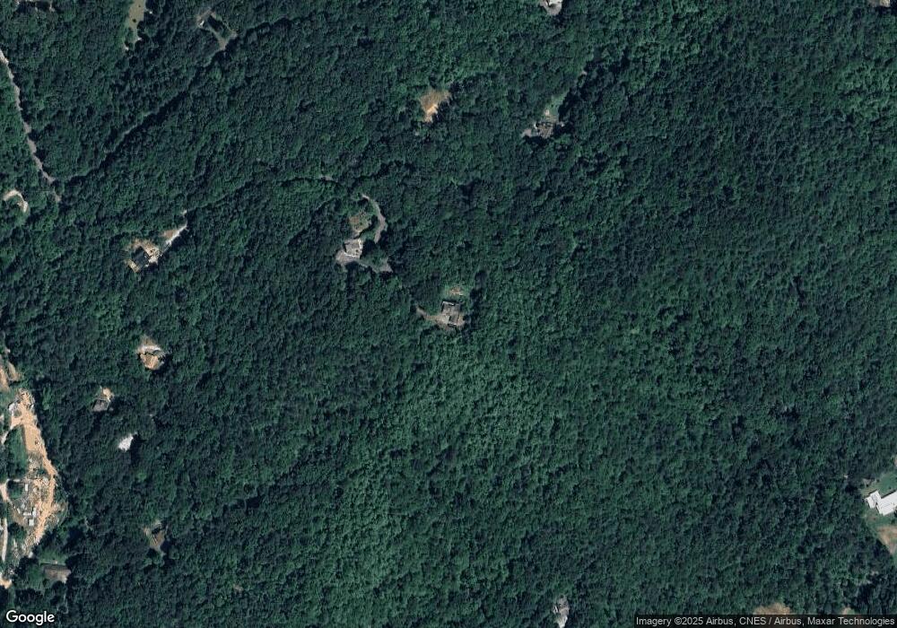
Map
Nearby Homes
- LOT 18 Wynngate Dr
- 571 Ledford Rd
- 208 Colony Rd
- 0 Smokey Hollow Dr Unit LOT 27 10561110
- 205 Carolina St
- 0 Ledford Rd Unit 10436918
- 1500 Park Vista Trail
- 0 Us-441 S Unit 10226435
- LOT SM4 Raven Fork Trail
- 0 N U S 441 NW Unit 10489249
- 0 Zoellner Ln
- 0 Sheep Cliff Way Unit 10533863
- 0 Wolffork Rd Unit 10624471
- 108 Olds Mountain Peak Rd
- 0 Lamb Rd Unit 10573604
- 0 Taylor Ridge Rd Unit 10583754
- 0 Ov Justus Rd
- 476 Franklin St
- 563 River Vista Dr
- 0 Uplander Unit 10628218
- 854 Wynngate Dr
- 764 Wynngate Dr Unit 19
- 764 Wynngate Dr
- 14 Wynngate
- 14 Wynngate Unit 14
- 0 Wynngate Dr Unit 17 8446935
- 0 Wynngate Dr Unit LOT 21 2696534
- 0 Wynngate Dr Unit 15 7474335
- 0 Wynngate Dr Unit 10124854
- 0 Wynngate Dr Unit 21 10050115
- 0 Wynngate Dr Unit 20026164
- 0 Wynngate Dr Unit 21 8893717
- 0 Wynngate Dr Unit 17 8936275
- 0 Wynngate Dr Unit 16 8917705
- 0 Wynngate Dr Unit 21 8791326
- 0 Wynngate Dr Unit 17 8740694
- 123 Wynngate Dr
- 47 Wynngate Dr
- 143 Triple T Ln
- 240 Bell Colony Rd