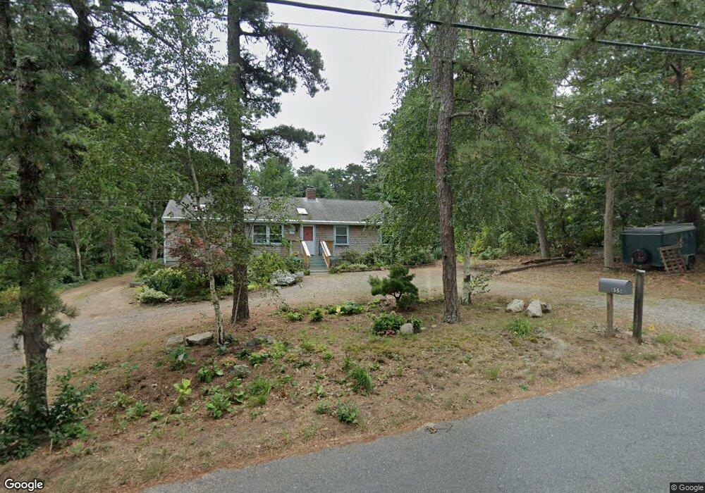
855 Governor Prence Rd Eastham, MA 02642
Estimated Value: $538,000 - $743,000
3
Beds
2
Baths
1,458
Sq Ft
$427/Sq Ft
Est. Value
About This Home
This home is located at 855 Governor Prence Rd, Eastham, MA 02642 and is currently estimated at $622,741, approximately $427 per square foot. 855 Governor Prence Rd is a home located in Barnstable County with nearby schools including Eastham Elementary School, Nauset Regional Middle School, and Nauset Regional High School.
Ownership History
Date
Name
Owned For
Owner Type
Purchase Details
Closed on
Nov 4, 2013
Sold by
Gill Elizabeth A
Bought by
J P&Ee A Gill Ret and Gill E A
Current Estimated Value
Purchase Details
Closed on
Mar 2, 2010
Sold by
Thackray Gray L and Thackray Ay
Bought by
Laurence F Gray Irt and Gill Elizabeth Andre
Create a Home Valuation Report for This Property
The Home Valuation Report is an in-depth analysis detailing your home's value as well as a comparison with similar homes in the area
Home Values in the Area
Average Home Value in this Area
Purchase History
| Date | Buyer | Sale Price | Title Company |
|---|---|---|---|
| J P&Ee A Gill Ret | -- | -- | |
| Laurence F Gray Irt | -- | -- | |
| Laurence F Gray Irt | -- | -- | |
| Laurence F Gray Irt | -- | -- | |
| J P & Ee A Gill Ret | -- | -- | |
| Laurence F Gray Irt | -- | -- |
Source: Public Records
Mortgage History
| Date | Status | Borrower | Loan Amount |
|---|---|---|---|
| Previous Owner | Laurence F Gray Irt | $60,000 |
Source: Public Records
Tax History
| Year | Tax Paid | Tax Assessment Tax Assessment Total Assessment is a certain percentage of the fair market value that is determined by local assessors to be the total taxable value of land and additions on the property. | Land | Improvement |
|---|---|---|---|---|
| 2025 | $4,439 | $575,700 | $268,900 | $306,800 |
| 2024 | $3,919 | $559,000 | $261,100 | $297,900 |
| 2023 | $3,453 | $477,000 | $217,600 | $259,400 |
| 2022 | $3,251 | $378,900 | $194,300 | $184,600 |
| 2021 | $3,161 | $344,300 | $176,600 | $167,700 |
| 2020 | $2,960 | $339,500 | $180,200 | $159,300 |
| 2019 | $2,738 | $331,900 | $175,000 | $156,900 |
| 2018 | $2,710 | $324,500 | $169,900 | $154,600 |
| 2017 | $2,530 | $320,200 | $166,600 | $153,600 |
| 2016 | $2,516 | $338,200 | $185,100 | $153,100 |
| 2015 | $2,358 | $332,100 | $181,400 | $150,700 |
Source: Public Records
Map
Nearby Homes
- 55 Grandfathers Way
- 330 Hay Rd
- 10 Cartway N
- 1061 State Hwy Unit 4
- 1061 State Hwy Unit 1061
- 20 Kittiwake Ln
- 25 Twin Rocks Dr
- 40 Bayview Rd
- 320 State Hwy
- 339 Dyer Prince Rd
- 46 Freeman Ln
- 2705 State Hwy
- 2705 State Hwy Unit 1-8
- 181 Rock Harbor Rd
- 188 Rock Harbor Rd
- 6 Penny Ln
- 20 Billingsgate Ave
- 2 Reilly Run
- 3 Reilly Run
- 32 Locust Rd
- 835 Governor Prence Rd
- 885 Governor Prence Rd
- 85 Limerick Way
- 95 Limerick Way
- 10 Gull Ln
- 815 Governor Prence Rd
- 915 Governor Prence Rd
- 35 Galway Ln
- 15 Gull Ln
- 75 Limerick Way
- 830 Governor Prence Rd
- 955 Governor Prence Rd
- 20 Gull Ln
- 100 Limerick Way
- 20 Galway Ln
- 20 Galway Ln
- 65 Limerick Way
- 90 Limerick Way
- 15 Tern Ln
- 745 Governor Prence Rd
Your Personal Tour Guide
Ask me questions while you tour the home.