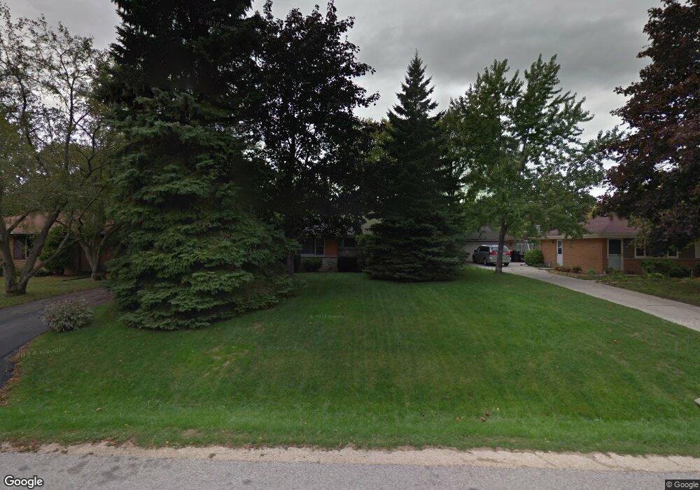
8555 N 59th St Milwaukee, WI 53223
Estimated Value: $263,725 - $291,000
--
Bed
--
Bath
1,080
Sq Ft
$255/Sq Ft
Est. Value
About This Home
This home is located at 8555 N 59th St, Milwaukee, WI 53223 and is currently estimated at $275,681, approximately $255 per square foot. 8555 N 59th St is a home located in Milwaukee County with nearby schools including Brown Deer Elementary School, Brown Deer Middle/High School, and Institute of Technology and Academics.
Ownership History
Date
Name
Owned For
Owner Type
Purchase Details
Closed on
Sep 25, 2018
Sold by
Madaus Michael J
Bought by
Dismukes Elizabeth
Current Estimated Value
Home Financials for this Owner
Home Financials are based on the most recent Mortgage that was taken out on this home.
Original Mortgage
$155,628
Outstanding Balance
$135,717
Interest Rate
4.5%
Mortgage Type
FHA
Estimated Equity
$139,964
Create a Home Valuation Report for This Property
The Home Valuation Report is an in-depth analysis detailing your home's value as well as a comparison with similar homes in the area
Home Values in the Area
Average Home Value in this Area
Purchase History
| Date | Buyer | Sale Price | Title Company |
|---|---|---|---|
| Dismukes Elizabeth | $158,500 | None Available |
Source: Public Records
Mortgage History
| Date | Status | Borrower | Loan Amount |
|---|---|---|---|
| Open | Dismukes Elizabeth | $155,628 |
Source: Public Records
Tax History Compared to Growth
Tax History
| Year | Tax Paid | Tax Assessment Tax Assessment Total Assessment is a certain percentage of the fair market value that is determined by local assessors to be the total taxable value of land and additions on the property. | Land | Improvement |
|---|---|---|---|---|
| 2024 | $3,677 | $192,900 | $33,000 | $159,900 |
| 2023 | $3,677 | -- | -- | -- |
| 2022 | $3,677 | $172,400 | $33,000 | $139,400 |
| 2021 | $3,487 | $148,600 | $33,000 | $115,600 |
| 2020 | $3,400 | $133,100 | $33,000 | $100,100 |
| 2019 | $3,166 | $109,200 | $33,000 | $76,200 |
| 2018 | $3,124 | $109,200 | $33,000 | $76,200 |
| 2017 | $3,008 | $109,200 | $33,000 | $76,200 |
| 2016 | $3,081 | $109,200 | $33,000 | $76,200 |
| 2015 | $3,161 | $109,200 | $33,000 | $76,200 |
| 2014 | $3,530 | $121,900 | $42,500 | $79,400 |
| 2013 | $3,619 | $121,900 | $42,500 | $79,400 |
Source: Public Records
Map
Nearby Homes
- 5734 W Range Ave
- 5878 W Range Ave
- 5665 W Range Ave
- 8680 N 63rd St
- 5650 W Wahner Ave Unit 206
- 5400 W Dean Rd
- 6206 W Fairlane Ave
- 6297 W Villa Ln
- 8608 N 53rd St
- 8274 N 55th St
- 8707 N 52nd St
- 8498 N 68th St
- 8025 N 62nd St
- 6901 W Greenbrook Ct
- 9150 N 60th St
- 7979 N 66th St
- 7871 N 60th St
- 8657 N 72nd St
- 9125 N Brandybrook Trail
- 8657 N 73rd St