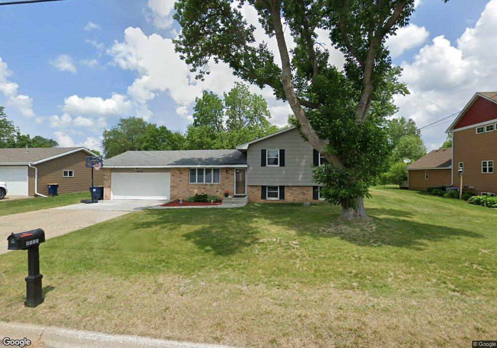
8555 Upper 206th St W Lakeville, MN 55044
Estimated Value: $352,000 - $367,000
3
Beds
2
Baths
1,656
Sq Ft
$217/Sq Ft
Est. Value
About This Home
This home is located at 8555 Upper 206th St W, Lakeville, MN 55044 and is currently estimated at $359,250, approximately $216 per square foot. 8555 Upper 206th St W is a home located in Dakota County with nearby schools including Lake Marion Elementary School, Mcguire Middle School, and Lakeville South High School.
Ownership History
Date
Name
Owned For
Owner Type
Purchase Details
Closed on
Feb 9, 2021
Sold by
Mattson Douglas R and Mattson Ann C
Bought by
Mattson Douglas R and Mattson Ann C
Current Estimated Value
Home Financials for this Owner
Home Financials are based on the most recent Mortgage that was taken out on this home.
Original Mortgage
$200,000
Outstanding Balance
$178,878
Interest Rate
2.7%
Mortgage Type
New Conventional
Estimated Equity
$180,372
Purchase Details
Closed on
Sep 15, 2004
Sold by
Lorentson Vernon F and Doty Susan L
Bought by
Mattson Douglas R
Create a Home Valuation Report for This Property
The Home Valuation Report is an in-depth analysis detailing your home's value as well as a comparison with similar homes in the area
Home Values in the Area
Average Home Value in this Area
Purchase History
| Date | Buyer | Sale Price | Title Company |
|---|---|---|---|
| Mattson Douglas R | -- | Land Title Inc | |
| Mattson Douglas R | $220,000 | -- |
Source: Public Records
Mortgage History
| Date | Status | Borrower | Loan Amount |
|---|---|---|---|
| Open | Mattson Douglas R | $200,000 |
Source: Public Records
Tax History Compared to Growth
Tax History
| Year | Tax Paid | Tax Assessment Tax Assessment Total Assessment is a certain percentage of the fair market value that is determined by local assessors to be the total taxable value of land and additions on the property. | Land | Improvement |
|---|---|---|---|---|
| 2024 | $3,416 | $309,300 | $80,500 | $228,800 |
| 2023 | $3,416 | $319,400 | $80,300 | $239,100 |
| 2022 | $2,956 | $318,300 | $80,000 | $238,300 |
| 2021 | $2,806 | $261,800 | $69,600 | $192,200 |
| 2020 | $2,994 | $241,900 | $66,300 | $175,600 |
| 2019 | $2,685 | $243,900 | $63,100 | $180,800 |
| 2018 | $2,558 | $228,300 | $60,100 | $168,200 |
| 2017 | $2,411 | $215,300 | $57,200 | $158,100 |
| 2016 | $2,343 | $202,500 | $54,500 | $148,000 |
| 2015 | $2,221 | $168,661 | $47,232 | $121,429 |
| 2014 | -- | $167,026 | $45,812 | $121,214 |
| 2013 | -- | $145,771 | $40,892 | $104,879 |
Source: Public Records
Map
Nearby Homes
- 20685 Howland Ave W
- 19820 Henning Ave
- 20638 Helena Ln
- 20304 Hunter Ct
- 20144 Holister Ln
- 20055 Heritage Dr
- 20077 Highview Ave
- 20060 Heritage Dr
- 8210 208th St W
- 20061 Highview Ave
- 20055 Highview Ave
- 9135 205th St W
- 20055 Holt Ave W
- 20724 Hurley Ave
- 20576 Gunnison Dr
- 20023 Homestead Ct Unit 25
- 20450 Dodd Blvd
- 8266 200th St W
- 19966 Hiawatha Ct
- 19962 Hexham Way
- 8545 Upper 206th St W
- 8575 Upper 206th St W
- 20655 Holiday Ave
- 8535 Upper 206th St W
- 20665 Holiday Ave
- 8591 Upper 206th St W
- 20660 Holiday Ave
- 20630 Hollins Ave W
- 20660 Hollins Ave W
- 8525 Upper 206th St W
- 20670 Holiday Ave
- 20675 Holiday Ave
- 20670 Hollins Ave W
- 8510 Upper 206th St W
- 20680 Holiday Ave
- 20680 Hollins Ave W
- 20685 Holiday Ave
- 8605 Upper 206th St W
- 7667 206th St W
- 20690 Holiday Ave