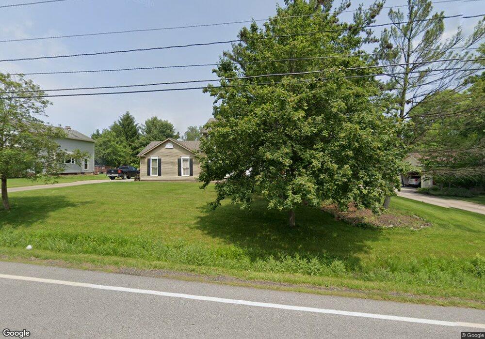
857 Barlow Rd Hudson, OH 44236
Estimated Value: $399,000 - $468,000
4
Beds
3
Baths
2,281
Sq Ft
$194/Sq Ft
Est. Value
About This Home
This home is located at 857 Barlow Rd, Hudson, OH 44236 and is currently estimated at $441,485, approximately $193 per square foot. 857 Barlow Rd is a home located in Summit County with nearby schools including Ellsworth Hill Elementary School, East Woods Intermediate School, and Hudson Middle School.
Ownership History
Date
Name
Owned For
Owner Type
Purchase Details
Closed on
Jun 14, 2023
Sold by
Weinhardt Mark C
Bought by
Weinhardt Dean F and Weinhardt Susan B
Current Estimated Value
Purchase Details
Closed on
May 13, 2023
Sold by
Weinhardt Mark C and Weinhardt Sherry
Bought by
Weinhardt Dean F and Weinhardt Susan B
Purchase Details
Closed on
Jan 17, 2019
Sold by
Weinhardt Mark C
Bought by
Weinhardt Mark C and Weinhardt Sherry
Purchase Details
Closed on
Jan 11, 2019
Sold by
Weinhardt Dean F and Weinhardt Susan B
Bought by
Weinhardt Mark C
Purchase Details
Closed on
Aug 18, 2005
Sold by
Bordonaro Thomas E
Bought by
Weinhardt Dean and Weinhardt Susan
Home Financials for this Owner
Home Financials are based on the most recent Mortgage that was taken out on this home.
Original Mortgage
$212,500
Interest Rate
5.82%
Mortgage Type
Fannie Mae Freddie Mac
Create a Home Valuation Report for This Property
The Home Valuation Report is an in-depth analysis detailing your home's value as well as a comparison with similar homes in the area
Home Values in the Area
Average Home Value in this Area
Purchase History
| Date | Buyer | Sale Price | Title Company |
|---|---|---|---|
| Weinhardt Dean F | -- | None Listed On Document | |
| Weinhardt Dean F | -- | None Listed On Document | |
| Weinhardt Mark C | -- | None Available | |
| Weinhardt Mark C | -- | None Available | |
| Weinhardt Dean | $212,500 | Tower City Title Agency Llc |
Source: Public Records
Mortgage History
| Date | Status | Borrower | Loan Amount |
|---|---|---|---|
| Previous Owner | Weinhardt Dean | $212,500 |
Source: Public Records
Tax History Compared to Growth
Tax History
| Year | Tax Paid | Tax Assessment Tax Assessment Total Assessment is a certain percentage of the fair market value that is determined by local assessors to be the total taxable value of land and additions on the property. | Land | Improvement |
|---|---|---|---|---|
| 2025 | $7,702 | $121,654 | $22,285 | $99,369 |
| 2024 | $7,702 | $121,654 | $22,285 | $99,369 |
| 2023 | $7,702 | $121,654 | $22,285 | $99,369 |
| 2022 | $7,813 | $104,955 | $19,212 | $85,743 |
| 2021 | $6,962 | $104,955 | $19,212 | $85,743 |
| 2020 | $7,406 | $104,950 | $19,210 | $85,740 |
| 2019 | $6,790 | $96,090 | $19,210 | $76,880 |
| 2018 | $7,274 | $96,090 | $19,210 | $76,880 |
| 2017 | $6,056 | $96,090 | $19,210 | $76,880 |
| 2016 | $5,479 | $83,380 | $19,210 | $64,170 |
| 2015 | $6,056 | $83,380 | $19,210 | $64,170 |
| 2014 | $6,183 | $83,380 | $19,210 | $64,170 |
| 2013 | $5,254 | $66,990 | $19,210 | $47,780 |
Source: Public Records
Map
Nearby Homes
- 734 Barlow Rd
- 5406 Towbridge Dr
- 5469 Sullivan Rd
- 180 Atterbury Blvd
- 5974 Anna Lee Dr
- 1705 Barlow Rd
- 75 Atterbury Blvd Unit 214
- 1620 Sapphire Dr
- 166 W Barlow Rd
- 171 Ravenna St
- 34 Chadbourne Dr
- 0 Olde Eight Rd Unit 5156367
- 61 Lake Forest Dr
- 4891 Cedar Crest Ln
- 1525 Spruce Hill Dr
- 105 Fox Trace Ln
- 0 Hibbard Dr
- 1664 Cypress Ct
- 6634 Regal Woods Dr
- 213 E Streetsboro St
- 869 Barlow Rd
- 845 Barlow Rd
- 5632 Virginia Ct
- 5633 Virginia Ct
- 875 Barlow Rd
- 5623 Williamsburg Cir
- 5644 Virginia Ct
- 5635 Williamsburg Cir
- 5641 Virginia Ct
- 5624 Nicholson Dr
- 5630 Nicholson Dr
- 5645 Williamsburg Cir
- 5656 Virginia Ct
- 5655 Virginia Ct
- 5622 Williamsburg Cir
- 5638 Nicholson Dr
- 5653 Williamsburg Cir
- 5630 Williamsburg Cir
- 866 Virginia Dr
- 5671 Williamsburg Cir
