857 Brook Rd Hampton, CT 06247
Estimated Value: $387,000 - $504,000
4
Beds
4
Baths
1,862
Sq Ft
$240/Sq Ft
Est. Value
About This Home
This home is located at 857 Brook Rd, Hampton, CT 06247 and is currently estimated at $446,876, approximately $239 per square foot. 857 Brook Rd is a home located in Windham County with nearby schools including Hampton Elementary School and Parish Hill High School.
Ownership History
Date
Name
Owned For
Owner Type
Purchase Details
Closed on
Nov 21, 2002
Sold by
Sylvester&Son Cons Inc
Bought by
Jacobson Michael A and Jacobson Tammie S
Current Estimated Value
Purchase Details
Closed on
Mar 9, 2002
Sold by
Bgb Rlty Llc
Bought by
Custom Designed Modulr
Create a Home Valuation Report for This Property
The Home Valuation Report is an in-depth analysis detailing your home's value as well as a comparison with similar homes in the area
Home Values in the Area
Average Home Value in this Area
Purchase History
| Date | Buyer | Sale Price | Title Company |
|---|---|---|---|
| Jacobson Michael A | $150,900 | -- | |
| Jacobson Michael A | $150,900 | -- | |
| Custom Designed Modulr | $33,000 | -- | |
| Custom Designed Modulr | $33,000 | -- |
Source: Public Records
Mortgage History
| Date | Status | Borrower | Loan Amount |
|---|---|---|---|
| Closed | Custom Designed Modulr | $30,600 | |
| Open | Custom Designed Modulr | $194,351 | |
| Closed | Custom Designed Modulr | $136,000 |
Source: Public Records
Tax History
| Year | Tax Paid | Tax Assessment Tax Assessment Total Assessment is a certain percentage of the fair market value that is determined by local assessors to be the total taxable value of land and additions on the property. | Land | Improvement |
|---|---|---|---|---|
| 2025 | $4,523 | $210,580 | $36,810 | $173,770 |
| 2024 | $4,386 | $210,580 | $36,810 | $173,770 |
| 2023 | $3,604 | $148,670 | $32,040 | $116,630 |
| 2022 | $3,344 | $148,670 | $32,040 | $116,630 |
| 2021 | $3,534 | $148,670 | $32,040 | $116,630 |
| 2020 | $3,765 | $147,630 | $32,040 | $115,590 |
| 2019 | $3,812 | $147,630 | $32,040 | $115,590 |
| 2018 | $3,928 | $137,840 | $26,800 | $111,040 |
| 2017 | $3,920 | $137,550 | $26,800 | $110,750 |
| 2016 | $3,920 | $137,550 | $26,800 | $110,750 |
| 2015 | $4,197 | $137,550 | $26,800 | $110,750 |
| 2014 | $4,089 | $137,550 | $26,800 | $110,750 |
Source: Public Records
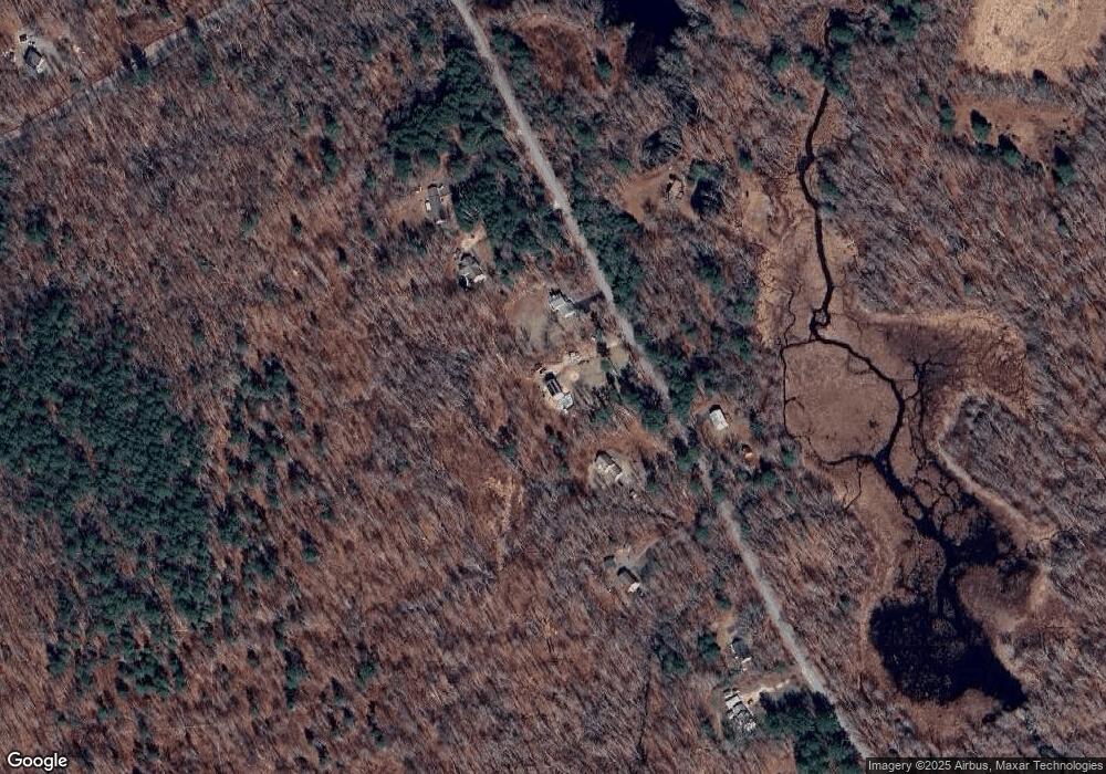
Map
Nearby Homes
- 771 Brook Rd
- 769 Brook Rd
- 890 Brook Rd
- 0 Scotland Rd Unit 24160798
- 366 Hartford Turnpike
- 11 Mountain Laurel Ln
- 81 Chappell St
- 349 S Bigelow Rd
- 310 S Bigelow Rd
- 0 Providence Turnpike Unit 24160702
- 0 Hampton Rd Unit 170523717
- 0 Reilly Rd
- 101 Reilly Rd
- 99 Reilly Rd
- 13 Bates Rd
- 338 Main St
- 69 N Bedlam Rd
- 404 Bassetts Bridge Rd
- 8 Palmer Rd
- 0 Brook Rd Unit lot 4
- 861 Brook Rd
- 837 Brook Rd
- 871 Brook Rd
- 830 Brook Rd
- 829 Brook Rd
- 879 Brook Rd
- 870 Brook Rd
- 813 Brook Rd
- 809 Brook Rd
- 186 S Brook Rd
- 789 Brook Rd
- 199 Parish Hill Rd
- 174 S Brook Rd
- 777 Brook Rd
- 219 Parish Hill Rd
- 0 S Brook Rd Unit G499539
- 241 Parish Hill Rd
- 150 S Brook Rd
- 249 Parish Hill Rd
- 75 Calvin Burnham Rd
Your Personal Tour Guide
Ask me questions while you tour the home.