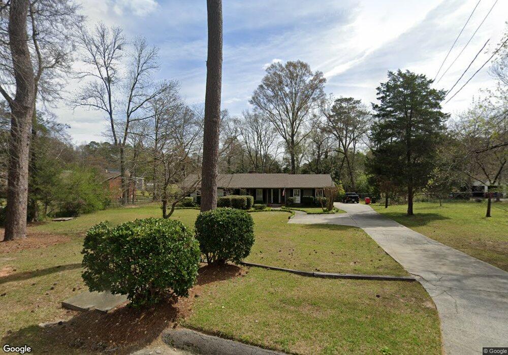
857 Wesleyan Dr Macon, GA 31210
Estimated Value: $223,119 - $249,000
3
Beds
2
Baths
2,011
Sq Ft
$120/Sq Ft
Est. Value
About This Home
This home is located at 857 Wesleyan Dr, Macon, GA 31210 and is currently estimated at $242,030, approximately $120 per square foot. 857 Wesleyan Dr is a home located in Bibb County with nearby schools including Springdale Elementary School, Howard Middle School, and Howard High School.
Ownership History
Date
Name
Owned For
Owner Type
Purchase Details
Closed on
Jul 20, 2007
Sold by
Randall Christopher R
Bought by
Maxwell Russell A and Dempsey Sabrina M
Current Estimated Value
Home Financials for this Owner
Home Financials are based on the most recent Mortgage that was taken out on this home.
Original Mortgage
$168,850
Outstanding Balance
$105,757
Interest Rate
6.63%
Mortgage Type
FHA
Estimated Equity
$136,273
Purchase Details
Closed on
Jan 17, 2002
Purchase Details
Closed on
Jan 5, 2001
Purchase Details
Closed on
Oct 19, 1998
Create a Home Valuation Report for This Property
The Home Valuation Report is an in-depth analysis detailing your home's value as well as a comparison with similar homes in the area
Home Values in the Area
Average Home Value in this Area
Purchase History
| Date | Buyer | Sale Price | Title Company |
|---|---|---|---|
| Maxwell Russell A | $171,500 | None Available | |
| -- | $157,000 | -- | |
| -- | $145,000 | -- | |
| -- | $132,000 | -- |
Source: Public Records
Mortgage History
| Date | Status | Borrower | Loan Amount |
|---|---|---|---|
| Open | Maxwell Russell A | $168,850 |
Source: Public Records
Tax History Compared to Growth
Tax History
| Year | Tax Paid | Tax Assessment Tax Assessment Total Assessment is a certain percentage of the fair market value that is determined by local assessors to be the total taxable value of land and additions on the property. | Land | Improvement |
|---|---|---|---|---|
| 2025 | $1,591 | $71,749 | $4,399 | $67,350 |
| 2024 | $1,619 | $70,734 | $3,384 | $67,350 |
| 2023 | $1,888 | $70,734 | $3,384 | $67,350 |
| 2022 | $1,738 | $57,215 | $5,408 | $51,807 |
| 2021 | $1,950 | $58,307 | $6,500 | $51,807 |
| 2020 | $1,992 | $58,307 | $6,500 | $51,807 |
| 2019 | $2,008 | $58,307 | $6,500 | $51,807 |
| 2018 | $3,256 | $58,307 | $6,500 | $51,807 |
| 2017 | $1,922 | $58,307 | $6,500 | $51,807 |
| 2016 | $1,775 | $58,307 | $6,500 | $51,807 |
| 2015 | $2,513 | $58,307 | $6,500 | $51,807 |
| 2014 | $2,517 | $58,307 | $6,500 | $51,807 |
Source: Public Records
Map
Nearby Homes
- 920 Wesleyan Dr
- 4964 Kathryn Dr
- 4726 Cheryle Ann Dr
- 1475 Maplewood Dr
- 203 Oberon Place
- 4653 S Beechwood Dr
- 4661 N Beechwood Dr
- 5104 Pine Ridge Dr
- 4630 Sprucewood Dr
- 5161 Wesleyan Cir
- 4713 Lattimore Dr
- 4620 S Stratford Oaks Dr
- 4811 Guerry Dr
- 200 N Wesleyan Cir
- 150 Springdale Ct
- 1344 Lake Valley Rd
- 750 Stonington Place
- 4939 Guerry Dr
- 3658 Northside Dr
- 1270 Lake Valley Rd
- 865 Wesleyan Dr
- 841 Wesleyan Dr
- 4794 Leo Place
- 881 Wesleyan Dr
- 864 Wesleyan Dr
- 850 Wesleyan Dr
- 4784 Leo Place
- 832 Wesleyan Dr
- 825 Wesleyan Dr
- 4800 Leo Place
- 824 Wesleyan Dr
- 4919 Kathryn Dr
- 4776 Leo Place
- 895 Wesleyan Dr
- 4781 Leo Place
- 821 Wesleyan Dr
- 4784 Cheryle Ann Dr
- 4926 Kathryn Dr
- 884 Wesleyan Dr
- 4801 Cheryle Ann Dr