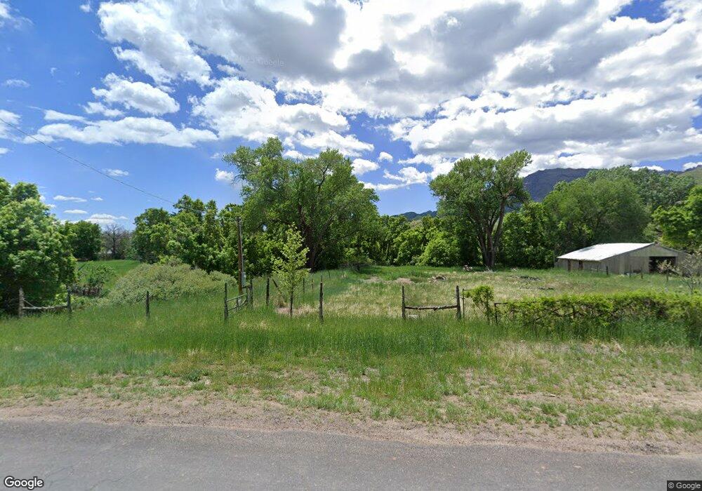
858 W Chuwi Path New Harmony, UT 84757
Estimated Value: $667,759 - $758,000
3
Beds
3
Baths
3,383
Sq Ft
$209/Sq Ft
Est. Value
About This Home
This home is located at 858 W Chuwi Path, New Harmony, UT 84757 and is currently estimated at $706,920, approximately $208 per square foot. 858 W Chuwi Path is a home located in Iron County with nearby schools including Cedar East School, Cedar Middle School, and Cedar City High School.
Ownership History
Date
Name
Owned For
Owner Type
Purchase Details
Closed on
Aug 19, 2020
Sold by
Eliason Edwin M and Eliason Joan M
Bought by
Eliason Edwin M and Eliason Joan M
Current Estimated Value
Purchase Details
Closed on
Nov 9, 2007
Sold by
Deutsche Bank National Trust Company
Bought by
Eliason Edwin M and Eliason Joan M
Purchase Details
Closed on
Feb 13, 2007
Sold by
Powell William Jeremy
Bought by
Deutsche Bank National Trust Co
Purchase Details
Closed on
Jan 13, 2006
Sold by
Streeter Steven and Streeter Kristeen
Bought by
Powell William Jeremy
Home Financials for this Owner
Home Financials are based on the most recent Mortgage that was taken out on this home.
Original Mortgage
$75,000
Interest Rate
6.21%
Mortgage Type
Stand Alone Second
Purchase Details
Closed on
Dec 31, 2004
Sold by
Streeter Steve
Bought by
Streeter Steven M and Preservation Trust
Create a Home Valuation Report for This Property
The Home Valuation Report is an in-depth analysis detailing your home's value as well as a comparison with similar homes in the area
Home Values in the Area
Average Home Value in this Area
Purchase History
| Date | Buyer | Sale Price | Title Company |
|---|---|---|---|
| Eliason Edwin M | -- | None Available | |
| Eliason Edwin M | $300,000 | -- | |
| Deutsche Bank National Trust Co | $330,179 | -- | |
| Powell William Jeremy | -- | -- | |
| Streeter Steven M | -- | Accommodation |
Source: Public Records
Mortgage History
| Date | Status | Borrower | Loan Amount |
|---|---|---|---|
| Previous Owner | Powell William Jeremy | $75,000 |
Source: Public Records
Tax History Compared to Growth
Tax History
| Year | Tax Paid | Tax Assessment Tax Assessment Total Assessment is a certain percentage of the fair market value that is determined by local assessors to be the total taxable value of land and additions on the property. | Land | Improvement |
|---|---|---|---|---|
| 2025 | $2,942 | $377,415 | $89,989 | $287,426 |
| 2023 | $2,751 | $397,950 | $85,700 | $312,250 |
| 2022 | $3,047 | $340,600 | $71,420 | $269,180 |
| 2021 | $2,134 | $238,510 | $45,950 | $192,560 |
| 2020 | $979 | $205,590 | $37,700 | $167,890 |
| 2019 | $1,935 | $183,705 | $37,700 | $146,005 |
| 2018 | $1,908 | $176,910 | $37,700 | $139,210 |
| 2017 | $1,817 | $168,865 | $37,700 | $131,165 |
| 2016 | $1,784 | $149,535 | $25,250 | $124,285 |
| 2015 | $1,870 | $149,535 | $0 | $0 |
| 2014 | $1,766 | $133,320 | $0 | $0 |
Source: Public Records
Map
Nearby Homes
- 2235 Chekshani Cliffs Ln Unit Lot 59
- 2235 Chekshani Cliffs Ln
- 2198 S Chekshani Cliff
- 2198 Chekshani Cliffs Ln
- 0 Oak Valley Estates Lot 9 Unit 109813
- 253.26 Acres South West of Kanarra
- 0 S Allred Rd
- 1463 S Old Highway 91
- 4002 E 80 S
- 0.05 acre Priority Date 1961
- 269 S 100 St E
- 65 W 200 South St
- 23 S 1200 W
- 184 W Center St
- 310 Acres
- 253.26 Acres Southwest of Kanarra
- 818 S 3430 E
- 401 S 3430 E
- 0 Lot 44 Harmony Mountain Ranch
- 7180 Bareback Rd
- 921 S Chuwi Path
- 824 W Chuwi Path
- 833 W Wipishani
- 869 W Wipishani
- 831 W Chuwi Path Unit Legal Lot 25
- 831 W Chuwi Path
- 801 W Wipishani
- 921 W Chuwi Path
- 921 Chuwi;;;921 S Unit CHUWI PTH
- 921 Chuwi;;;921 S
- 924 1925 S
- 924 W 1925 S
- 5.33 Ac W Building Chekshani Cliff Sub
- 909 W Chuwi Path
- 724 Wipishani Ln Unit LOT 9
- 864 Wipishani Ln
- 864 Wipishani Ln Unit Phase 1
- 724 Wipishani Ln
- 830 Wipishani Ln Unit Phase 1
- 724 Wipishani Ln Unit 1
