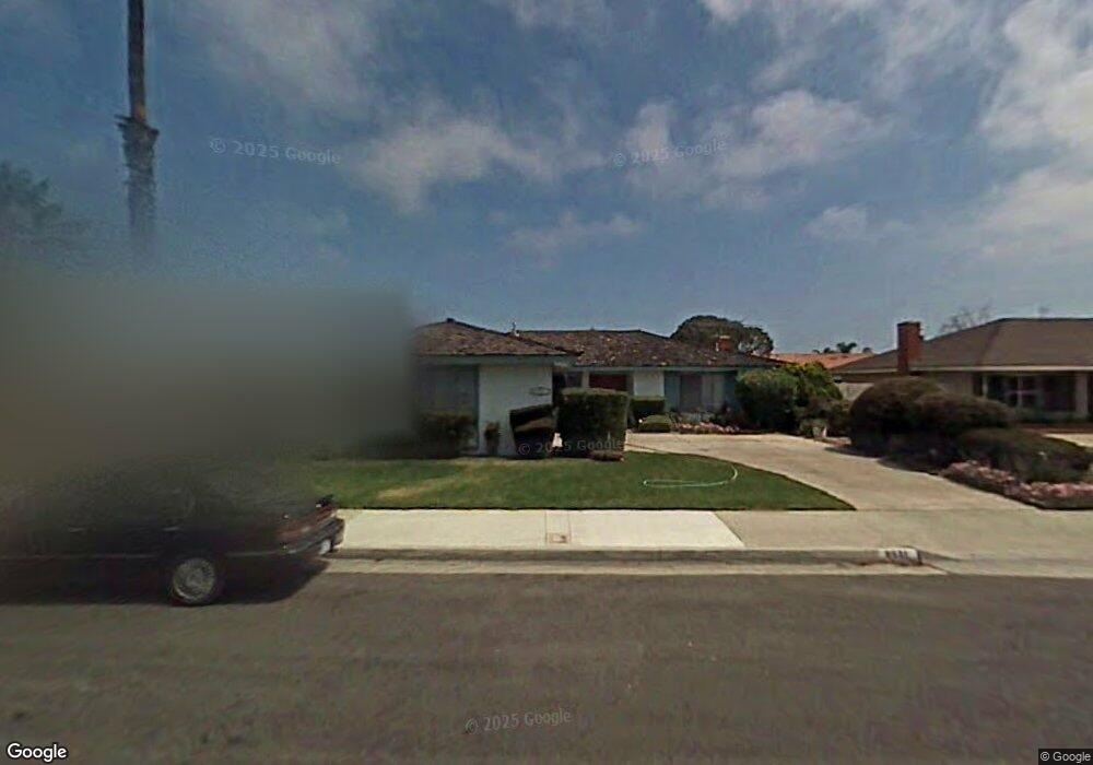
8581 Saint Augustine Dr Huntington Beach, CA 92646
Southeast NeighborhoodEstimated Value: $1,331,131 - $1,522,000
4
Beds
2
Baths
1,606
Sq Ft
$886/Sq Ft
Est. Value
About This Home
This home is located at 8581 Saint Augustine Dr, Huntington Beach, CA 92646 and is currently estimated at $1,423,283, approximately $886 per square foot. 8581 Saint Augustine Dr is a home located in Orange County with nearby schools including S.A. Moffett Elementary School, Isaac L. Sowers Middle School, and Edison High School.
Ownership History
Date
Name
Owned For
Owner Type
Purchase Details
Closed on
Aug 1, 2023
Sold by
Chang Family Trust
Bought by
Chang Family Trust and Chang
Current Estimated Value
Purchase Details
Closed on
Jan 29, 2018
Sold by
Chang David Puchin and Chang Annie Lee
Bought by
Chang David Puchin and Chang Annie Lee
Create a Home Valuation Report for This Property
The Home Valuation Report is an in-depth analysis detailing your home's value as well as a comparison with similar homes in the area
Home Values in the Area
Average Home Value in this Area
Purchase History
| Date | Buyer | Sale Price | Title Company |
|---|---|---|---|
| Chang Family Trust | -- | None Listed On Document | |
| Chang David Puchin | -- | None Available |
Source: Public Records
Tax History Compared to Growth
Tax History
| Year | Tax Paid | Tax Assessment Tax Assessment Total Assessment is a certain percentage of the fair market value that is determined by local assessors to be the total taxable value of land and additions on the property. | Land | Improvement |
|---|---|---|---|---|
| 2025 | $1,376 | $91,023 | $33,975 | $57,048 |
| 2024 | $1,376 | $89,239 | $33,309 | $55,930 |
| 2023 | $1,341 | $87,490 | $32,656 | $54,834 |
| 2022 | $1,305 | $85,775 | $32,016 | $53,759 |
| 2021 | $1,283 | $84,094 | $31,389 | $52,705 |
| 2020 | $1,273 | $83,232 | $31,067 | $52,165 |
| 2019 | $1,262 | $81,600 | $30,457 | $51,143 |
| 2018 | $1,243 | $80,000 | $29,859 | $50,141 |
| 2017 | $1,227 | $78,432 | $29,274 | $49,158 |
| 2016 | $1,182 | $76,895 | $28,700 | $48,195 |
| 2015 | $1,169 | $75,740 | $28,268 | $47,472 |
| 2014 | $1,145 | $74,257 | $27,714 | $46,543 |
Source: Public Records
Map
Nearby Homes
- 21131 Greenboro Ln
- 21032 Shepherd Ln
- 21211 Poston Ln
- 8633 Portola Ct Unit 18G
- 8401 Atlanta Ave
- 8788 Coral Springs Ct Unit 203
- 8331 Snowbird Dr
- 8566 Larkhall Cir Unit 808A
- 8566 Larkhall Cir Unit 809D
- 21851 Newland St Unit 104
- 21851 Newland St Unit 255
- 21851 Newland St Unit 232
- 21851 Newland St Unit 44
- 21851 Newland St Unit 117
- 21851 Newland St Unit 109
- 21851 Newland St Unit 58
- 21851 Newland St Unit 279
- 21851 Newland St Unit 270
- 21851 Newland St Unit 147
- 21851 Newland St Unit 46
- 8571 Saint Augustine Dr
- 8591 Saint Augustine Dr
- 8582 Sable Dr
- 8572 Sable Dr
- 8561 Saint Augustine Dr
- 8592 Sable Dr
- 8601 Saint Augustine Dr
- 21281 Seaforth Ln
- 8562 Sable Dr
- 8602 Sable Dr
- 21282 Seaforth Ln
- 8551 Saint Augustine Dr
- 8611 Saint Augustine Dr
- 21282 Sand Dollar Ln
- 21291 Seaforth Ln
- 8552 Sable Dr
- 8612 Sable Dr
- 21292 Seaforth Ln
- 8541 Saint Augustine Dr
- 21201 White Horse Ln