8585 Angies Run Dr Delton, MI 49046
Estimated Value: $282,000 - $374,000
3
Beds
2
Baths
1,404
Sq Ft
$229/Sq Ft
Est. Value
About This Home
This home is located at 8585 Angies Run Dr, Delton, MI 49046 and is currently estimated at $321,017, approximately $228 per square foot. 8585 Angies Run Dr is a home located in Barry County with nearby schools including Hastings High School.
Ownership History
Date
Name
Owned For
Owner Type
Purchase Details
Closed on
May 18, 2010
Sold by
Secretary Of Housing & Urban Development
Bought by
Bolo Scott
Current Estimated Value
Purchase Details
Closed on
Dec 3, 2009
Sold by
Us Bank Na
Bought by
U S Department Of Housing & Urban Develo
Purchase Details
Closed on
Jul 30, 2009
Sold by
Castaneda Mario and Mccord Nicole
Bought by
Us Bank Na
Purchase Details
Closed on
Dec 21, 2007
Sold by
Flagstar Bank Fsb
Bought by
Castaneda Mario and Mccord Nicole
Home Financials for this Owner
Home Financials are based on the most recent Mortgage that was taken out on this home.
Original Mortgage
$88,964
Interest Rate
6.27%
Mortgage Type
FHA
Purchase Details
Closed on
Jun 2, 2005
Sold by
Watson Nancy A and Watson John D
Bought by
Flagstar Bank Fsb
Create a Home Valuation Report for This Property
The Home Valuation Report is an in-depth analysis detailing your home's value as well as a comparison with similar homes in the area
Home Values in the Area
Average Home Value in this Area
Purchase History
| Date | Buyer | Sale Price | Title Company |
|---|---|---|---|
| Bolo Scott | $49,000 | None Available | |
| U S Department Of Housing & Urban Develo | -- | None Available | |
| Us Bank Na | $93,471 | None Available | |
| Castaneda Mario | $90,400 | 1St Choice Title Svcs Inc | |
| Flagstar Bank Fsb | $144,336 | -- |
Source: Public Records
Mortgage History
| Date | Status | Borrower | Loan Amount |
|---|---|---|---|
| Previous Owner | Castaneda Mario | $88,964 |
Source: Public Records
Tax History Compared to Growth
Tax History
| Year | Tax Paid | Tax Assessment Tax Assessment Total Assessment is a certain percentage of the fair market value that is determined by local assessors to be the total taxable value of land and additions on the property. | Land | Improvement |
|---|---|---|---|---|
| 2025 | $1,980 | $155,500 | $0 | $0 |
| 2024 | $1,980 | $135,400 | $0 | $0 |
| 2023 | $1,882 | $95,000 | $0 | $0 |
| 2022 | $1,882 | $95,000 | $0 | $0 |
| 2021 | $1,882 | $88,700 | $0 | $0 |
| 2020 | $1,882 | $80,300 | $0 | $0 |
| 2019 | $1,882 | $70,600 | $0 | $0 |
| 2018 | $0 | $67,900 | $0 | $0 |
| 2017 | $0 | $72,800 | $0 | $0 |
| 2016 | -- | $75,000 | $0 | $0 |
| 2015 | -- | $72,900 | $0 | $0 |
| 2014 | -- | $72,900 | $0 | $0 |
Source: Public Records
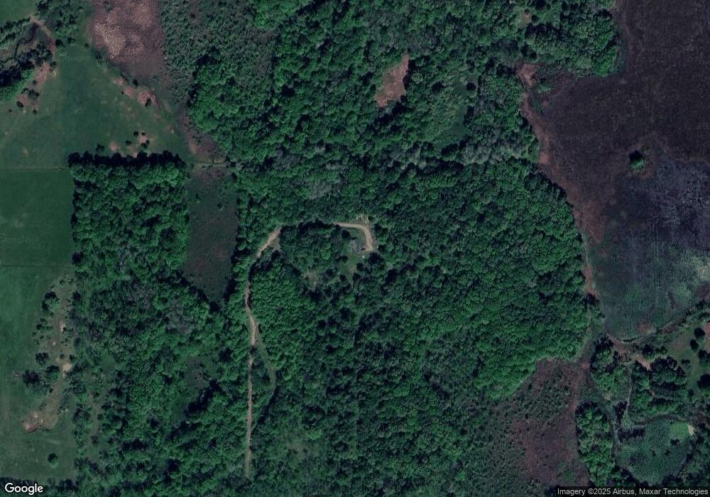
Map
Nearby Homes
- V/L Lammers Rd
- 7350 Cedar Creek Rd
- VL Cedar Creek Rd
- 3050 Thorpe Dr
- VL S M 43 Hwy
- S M S M 43 Hwy
- 8731 Wertman Rd
- 2347 W Dowling Rd
- 290 Long Lake Dr
- 5701 Head Lake Rd
- 3115 Perch Point Dr
- 630 Scotts Dr
- 1810 W Brogan Rd
- 3996 Head Lake Rd
- 8945 Margery Dr
- V/L 3131 Shultz Rd
- 7177 Longview Ct
- 4725 Head Lake Rd
- 0 Keller Head Rd Unit 25008878
- 7480 Head Rd
- 8825 Angies Run Dr
- 7590 Cedar Creek Rd
- 7700 Lammers Rd
- 7568 Cedar Creek Rd
- 7776 Taylor Ridge Dr
- 7807 Lammers Rd
- 7518 Cedar Creek Rd
- 6993 Lammers Rd
- 2200 W Cloverdale Rd
- 6987 Lammers Rd
- 7834 Taylor Ridge Dr
- 2360 W Cloverdale Rd
- 7752 Cedar Creek Rd
- 7912 Taylor Ridge Dr
- 7600 Cedar Creek Rd
- 2370 W Cloverdale Rd
- 2524 W Cloverdale Rd
- 2340 W Cloverdale Rd
- 2550 W Cloverdale Rd
- 7505 Cedar Creek Rd