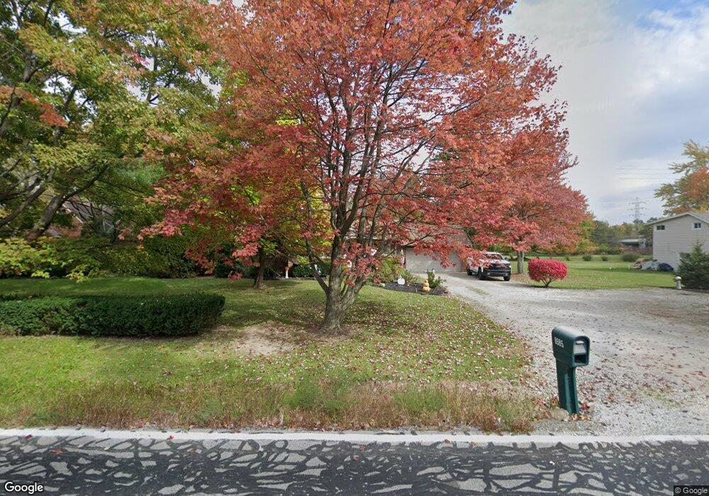
8585 Fair Rd Strongsville, OH 44149
Estimated Value: $255,684 - $287,000
3
Beds
1
Bath
1,382
Sq Ft
$195/Sq Ft
Est. Value
About This Home
This home is located at 8585 Fair Rd, Strongsville, OH 44149 and is currently estimated at $269,171, approximately $194 per square foot. 8585 Fair Rd is a home located in Cuyahoga County with nearby schools including Strongsville High School, St Mary School, and Sts Joseph & John Interparochial School.
Ownership History
Date
Name
Owned For
Owner Type
Purchase Details
Closed on
Dec 8, 1997
Sold by
Warren Ted J
Bought by
Blevins Christopher D and Blevins Jodi L
Current Estimated Value
Home Financials for this Owner
Home Financials are based on the most recent Mortgage that was taken out on this home.
Original Mortgage
$82,000
Outstanding Balance
$14,155
Interest Rate
7.46%
Mortgage Type
New Conventional
Estimated Equity
$255,016
Purchase Details
Closed on
Oct 25, 1988
Sold by
Moores Lloyd F and Moores Earlene C
Bought by
Warren Ted J and Warren Christine M
Purchase Details
Closed on
Nov 14, 1984
Sold by
Moores Lloyd F and Moores Earlene C
Bought by
Moores Lloyd F and Moores Earlene C
Purchase Details
Closed on
Jan 1, 1975
Bought by
Moores Lloyd F and Moores Earlene C
Create a Home Valuation Report for This Property
The Home Valuation Report is an in-depth analysis detailing your home's value as well as a comparison with similar homes in the area
Home Values in the Area
Average Home Value in this Area
Purchase History
| Date | Buyer | Sale Price | Title Company |
|---|---|---|---|
| Blevins Christopher D | $127,000 | -- | |
| Warren Ted J | $78,000 | -- | |
| Moores Lloyd F | -- | -- | |
| Moores Lloyd F | -- | -- |
Source: Public Records
Mortgage History
| Date | Status | Borrower | Loan Amount |
|---|---|---|---|
| Open | Blevins Christopher D | $82,000 |
Source: Public Records
Tax History Compared to Growth
Tax History
| Year | Tax Paid | Tax Assessment Tax Assessment Total Assessment is a certain percentage of the fair market value that is determined by local assessors to be the total taxable value of land and additions on the property. | Land | Improvement |
|---|---|---|---|---|
| 2024 | $3,722 | $79,275 | $19,460 | $59,815 |
| 2023 | $4,083 | $65,140 | $19,220 | $45,920 |
| 2022 | $4,053 | $65,140 | $19,220 | $45,920 |
| 2021 | $4,022 | $65,140 | $19,220 | $45,920 |
| 2020 | $3,725 | $53,380 | $15,750 | $37,630 |
| 2019 | $3,616 | $152,500 | $45,000 | $107,500 |
| 2018 | $3,282 | $53,380 | $15,750 | $37,630 |
| 2017 | $3,373 | $50,790 | $12,460 | $38,330 |
| 2016 | $3,345 | $50,790 | $12,460 | $38,330 |
| 2015 | $3,295 | $50,790 | $12,460 | $38,330 |
| 2014 | $3,295 | $49,320 | $12,110 | $37,210 |
Source: Public Records
Map
Nearby Homes
- 8627 Courtland Dr
- 84 Sprague Rd
- 8036 Fair Rd
- 104 Whitehall Dr
- 740 Fair St
- 8902 Lincolnshire Blvd
- 243 Jananna Dr
- 148 Meadow Cir
- 9401 Pheasant Run Place
- 9829 Plum Brook Ln
- 9598 Pebble Brook Ln
- 8746 Barton Dr
- 458 Sprague Rd
- 74 Aaron St
- 23 Hamilton St
- 22300 Rock Creek Cir
- 10353 Oak Branch Trail
- 0 Priem Rd
- 21355 Hickory Branch Trail
- 21176 Hickory Branch Trail