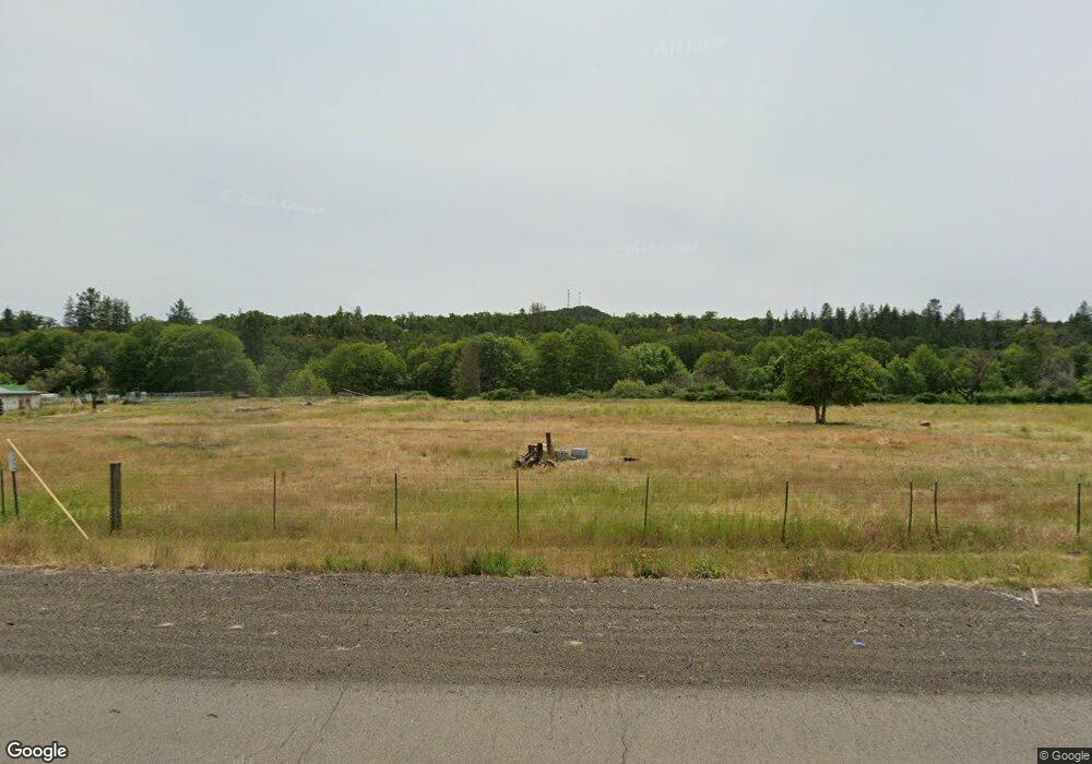
8585 Highway 140 Eagle Point, OR 97524
Estimated Value: $314,000 - $455,000
4
Beds
2
Baths
1,188
Sq Ft
$336/Sq Ft
Est. Value
About This Home
This home is located at 8585 Highway 140, Eagle Point, OR 97524 and is currently estimated at $398,977, approximately $335 per square foot. 8585 Highway 140 is a home located in Jackson County with nearby schools including Eagle Rock Elementary School, Eagle Point Middle School, and White Mountain Middle School.
Ownership History
Date
Name
Owned For
Owner Type
Purchase Details
Closed on
Feb 8, 2022
Sold by
Craig Bob F and Craig Alma Kay
Bought by
Craig Bobbie F and Craig Alma K
Current Estimated Value
Home Financials for this Owner
Home Financials are based on the most recent Mortgage that was taken out on this home.
Original Mortgage
$214,814
Outstanding Balance
$197,942
Interest Rate
3.55%
Mortgage Type
VA
Estimated Equity
$201,035
Create a Home Valuation Report for This Property
The Home Valuation Report is an in-depth analysis detailing your home's value as well as a comparison with similar homes in the area
Purchase History
| Date | Buyer | Sale Price | Title Company |
|---|---|---|---|
| Craig Bobbie F | -- | Accommodation/Courtesy Recordi |
Source: Public Records
Mortgage History
| Date | Status | Borrower | Loan Amount |
|---|---|---|---|
| Open | Craig Bobbie F | $214,814 |
Source: Public Records
Tax History
| Year | Tax Paid | Tax Assessment Tax Assessment Total Assessment is a certain percentage of the fair market value that is determined by local assessors to be the total taxable value of land and additions on the property. | Land | Improvement |
|---|---|---|---|---|
| 2026 | $94 | $30,460 | -- | $30,460 |
| 2025 | $93 | $40,080 | -- | $40,080 |
| 2024 | $93 | $38,920 | -- | $38,920 |
| 2023 | $88 | $37,790 | $26,583 | $37,790 |
| 2022 | $88 | $132,503 | $16,483 | $116,020 |
| 2021 | $10 | $128,764 | $16,114 | $112,650 |
| 2020 | $10 | $125,131 | $15,761 | $109,370 |
| 2019 | $10 | $118,194 | $15,084 | $103,110 |
| 2018 | $10 | $114,872 | $14,762 | $100,110 |
| 2017 | $10 | $114,872 | $14,762 | $100,110 |
| 2016 | $10 | $108,525 | $14,145 | $94,380 |
| 2015 | $1,286 | $108,525 | $14,145 | $94,380 |
| 2014 | $1,206 | $100,262 | $15,842 | $84,420 |
Source: Public Records
Map
Nearby Homes
- 766 Meridian Rd
- 1918 Stevens Rd
- 0 Riley Rd Unit 220209029
- 1319 Crestmont Place
- 1207 Overlook Dr
- 1214 Overlook Dr
- 1881 Brophy Rd
- 1297 Stonegate Dr Unit 473
- 0 S Clayton St Unit MFRNS1087363
- 0 S Clayton St Unit 1223298
- 101 Stonegate Dr Unit 470
- 1153 Pumpkin Unit 322
- 1159 Pumpkin Ridge Unit 323
- 1151 Arrowhead Trail
- 1147 Pumpkin Unit 321
- 1152 Pumpkin Unit 334
- 480 Pinnacle Ridge Unit 90
- 474 Pinnacle Ridge Unit 89
- 455 Pinnacle Ridge Unit 76
- 449 Pinnacle Ridge Unit 77
- 8633 Highway 140
- 8650 Highway 140
- 8707 Highway 140
- 0 Brownsboro Hwy
- 8575 Highway 140
- 5325 Brownsboro Hwy
- 5313 Brownsboro Hwy
- 8758 Highway 140
- 5322 Brownsboro Hwy
- 5150 Brownsboro Hwy
- 125 S Obenchain Rd
- 7790 Oregon 140
- 2553 Brownsboro Meridian Rd
- 241 S Obenchain Rd
- 5020 Brownsboro Hwy
- 207 S Obenchain Rd
- 4980 Brownsboro Hwy
- 9130 Hwy 140
- 4795 Brownsboro Hwy
- 7798 Highway 140
Your Personal Tour Guide
Ask me questions while you tour the home.