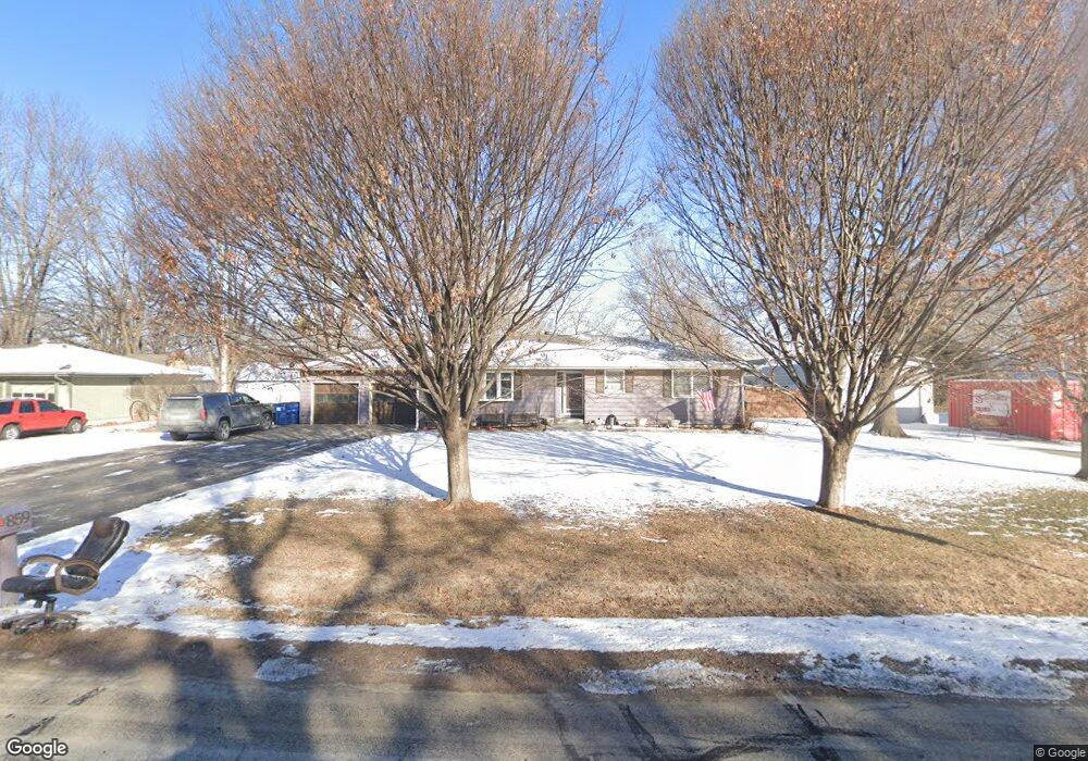
859 Locust St Lawrence, KS 66044
North Lawrence NeighborhoodEstimated Value: $292,000 - $322,000
3
Beds
3
Baths
1,428
Sq Ft
$215/Sq Ft
Est. Value
About This Home
This home is located at 859 Locust St, Lawrence, KS 66044 and is currently estimated at $306,325, approximately $214 per square foot. 859 Locust St is a home located in Douglas County with nearby schools including Woodlawn Elementary School, Liberty Memorial Central Middle School, and Lawrence Free State High School.
Ownership History
Date
Name
Owned For
Owner Type
Purchase Details
Closed on
Jan 6, 2010
Sold by
Howard Wanda G and Howard Leslie Dean
Bought by
Barta Tammy L and Barta Jon Dean
Current Estimated Value
Create a Home Valuation Report for This Property
The Home Valuation Report is an in-depth analysis detailing your home's value as well as a comparison with similar homes in the area
Home Values in the Area
Average Home Value in this Area
Purchase History
| Date | Buyer | Sale Price | Title Company |
|---|---|---|---|
| Barta Tammy L | -- | First American Title |
Source: Public Records
Tax History
| Year | Tax Paid | Tax Assessment Tax Assessment Total Assessment is a certain percentage of the fair market value that is determined by local assessors to be the total taxable value of land and additions on the property. | Land | Improvement |
|---|---|---|---|---|
| 2025 | $4,236 | $34,190 | $5,175 | $29,015 |
| 2024 | $4,065 | $32,833 | $4,600 | $28,233 |
| 2023 | $3,753 | $29,187 | $4,025 | $25,162 |
| 2022 | $3,487 | $26,933 | $3,450 | $23,483 |
| 2021 | $2,881 | $21,528 | $2,760 | $18,768 |
| 2020 | $2,736 | $20,574 | $2,760 | $17,814 |
| 2019 | $2,706 | $20,367 | $2,760 | $17,607 |
| 2018 | $2,654 | $19,838 | $2,760 | $17,078 |
| 2017 | $2,476 | $18,320 | $2,905 | $15,415 |
| 2016 | $2,278 | $17,618 | $2,905 | $14,713 |
| 2015 | -- | $16,859 | $2,905 | $13,954 |
| 2014 | -- | $16,641 | $2,905 | $13,736 |
Source: Public Records
Map
Nearby Homes
- 832 Locust St
- 604 North St
- 606 North St
- 627 Connecticut St
- 928 Pennsylvania St
- 705 Rhode Island St Unit F
- 705 Rhode Island St Unit B
- 705 Rhode Island St Unit A
- 705 Rhode Island St Unit P
- 705 Rhode Island St Unit Q
- 705 Rhode Island St Unit J
- 705 Rhode Island St Unit E
- 705 Rhode Island St Unit K
- 705 Rhode Island St Unit D
- 705 Rhode Island St Unit C
- 705 Rhode Island St Unit N
- 705 Rhode Island St Unit H
- 705 Rhode Island St Unit L
- 705 Rhode Island St Unit G
- 705 Rhode Island St Unit M
Your Personal Tour Guide
Ask me questions while you tour the home.