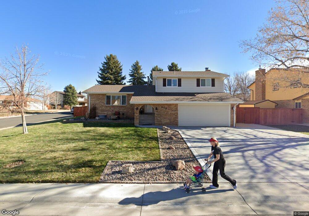
859 Mercury Cir Lone Tree, CO 80124
Estimated Value: $610,996 - $645,000
3
Beds
3
Baths
2,288
Sq Ft
$274/Sq Ft
Est. Value
About This Home
This home is located at 859 Mercury Cir, Lone Tree, CO 80124 and is currently estimated at $627,998, approximately $274 per square foot. 859 Mercury Cir is a home located in Douglas County with nearby schools including Acres Green Elementary School, Cresthill Middle School, and Highlands Ranch High School.
Ownership History
Date
Name
Owned For
Owner Type
Purchase Details
Closed on
Feb 15, 2012
Sold by
Natale Ann
Bought by
Knight Robert T and Martinez Julia M
Current Estimated Value
Home Financials for this Owner
Home Financials are based on the most recent Mortgage that was taken out on this home.
Original Mortgage
$205,200
Outstanding Balance
$140,987
Interest Rate
3.95%
Mortgage Type
New Conventional
Estimated Equity
$487,011
Purchase Details
Closed on
May 20, 2004
Sold by
Engle Gregory J and Engle Quinn R
Bought by
Natale Ann
Home Financials for this Owner
Home Financials are based on the most recent Mortgage that was taken out on this home.
Original Mortgage
$163,500
Interest Rate
5.5%
Mortgage Type
Unknown
Purchase Details
Closed on
Sep 25, 1992
Sold by
Baluha Jon D and Baluha Rosellen E
Bought by
Engle Gregory J and Engle Quinn R
Purchase Details
Closed on
Sep 26, 1979
Sold by
Unavailable
Bought by
Unavailable
Create a Home Valuation Report for This Property
The Home Valuation Report is an in-depth analysis detailing your home's value as well as a comparison with similar homes in the area
Home Values in the Area
Average Home Value in this Area
Purchase History
| Date | Buyer | Sale Price | Title Company |
|---|---|---|---|
| Knight Robert T | $256,500 | None Available | |
| Natale Ann | $263,500 | Guardian Title Agency Llc | |
| Engle Gregory J | $115,000 | -- | |
| Unavailable | $67,200 | -- |
Source: Public Records
Mortgage History
| Date | Status | Borrower | Loan Amount |
|---|---|---|---|
| Open | Knight Robert T | $205,200 | |
| Previous Owner | Natale Ann | $163,500 |
Source: Public Records
Tax History Compared to Growth
Tax History
| Year | Tax Paid | Tax Assessment Tax Assessment Total Assessment is a certain percentage of the fair market value that is determined by local assessors to be the total taxable value of land and additions on the property. | Land | Improvement |
|---|---|---|---|---|
| 2024 | $3,641 | $43,360 | $8,080 | $35,280 |
| 2023 | $3,678 | $43,360 | $8,080 | $35,280 |
| 2022 | $2,723 | $30,580 | $6,860 | $23,720 |
| 2021 | $2,832 | $30,580 | $6,860 | $23,720 |
| 2020 | $2,638 | $29,190 | $6,560 | $22,630 |
| 2019 | $2,647 | $29,190 | $6,560 | $22,630 |
| 2018 | $2,113 | $24,950 | $5,700 | $19,250 |
| 2017 | $2,147 | $24,950 | $5,700 | $19,250 |
| 2016 | $1,938 | $22,050 | $4,120 | $17,930 |
| 2015 | $1,982 | $22,050 | $4,120 | $17,930 |
| 2014 | $1,871 | $19,500 | $3,980 | $15,520 |
Source: Public Records
Map
Nearby Homes
- 789 Hamal Dr
- 802 Altair Dr
- 7057 Chestnut Hill St
- 7041 Chestnut Hill Trail
- 6887 Chestnut Hill St
- 13117 Deneb Dr
- 9275 Erminedale Dr
- 13134 Deneb Dr
- 8159 Lodgepole Trail
- 9412 La Quinta Way
- 6426 Nassau Ct
- 6482 Silver Mesa Dr Unit B
- 6266 Nassau Ct
- 9390 Yale Ln
- 8638 Gold Peak Dr Unit D
- 9308 Miles Dr Unit 5
- 9368 Harvard Dr
- 8626 Gold Peak Dr Unit B
- 8540 Gold Peak Ln Unit C
- 13483 Achilles Dr
- 855 Mercury Cir
- 13245 Canopus Dr
- 13256 Canopus Dr
- 849 Mercury Cir
- 856 Mercury Cir
- 13246 Canopus Dr
- 13193 Canopus Dr
- 866 Mercury Cir
- 858 Mercury Cir
- 13236 Canopus Dr
- 869 Mercury Cir
- 864 Mercury Cir
- 845 Mercury Cir
- 13173 Hadar Dr
- 13226 Canopus Dr
- 13183 Canopus Dr
- 854 Mercury Cir
- 13275 Peacock Dr
- 13265 Peacock Dr
- 875 Mercury Cir