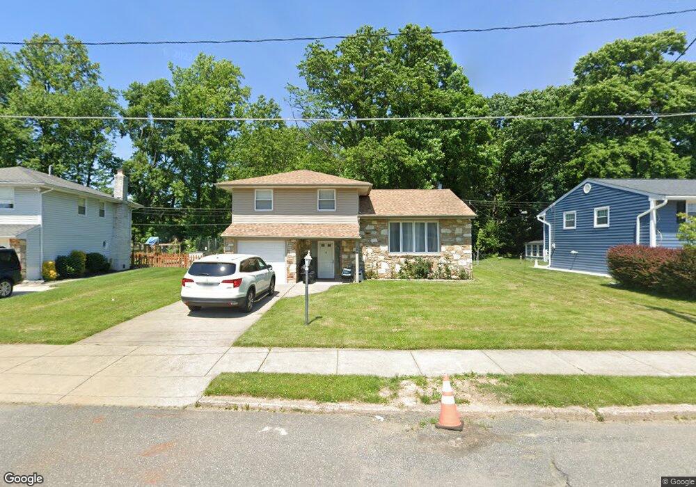
859 Morefield Rd Philadelphia, PA 19115
Bustleton NeighborhoodEstimated Value: $471,618 - $554,000
3
Beds
3
Baths
1,613
Sq Ft
$317/Sq Ft
Est. Value
About This Home
This home is located at 859 Morefield Rd, Philadelphia, PA 19115 and is currently estimated at $511,155, approximately $316 per square foot. 859 Morefield Rd is a home located in Philadelphia County with nearby schools including Greenberg Joseph School, George Washington High School, and St. Albert the Great School.
Ownership History
Date
Name
Owned For
Owner Type
Purchase Details
Closed on
Nov 30, 2011
Sold by
Moss Ida W
Bought by
John Mathew and Mathew Sherine
Current Estimated Value
Home Financials for this Owner
Home Financials are based on the most recent Mortgage that was taken out on this home.
Original Mortgage
$258,282
Outstanding Balance
$174,462
Interest Rate
3.75%
Mortgage Type
FHA
Estimated Equity
$336,693
Create a Home Valuation Report for This Property
The Home Valuation Report is an in-depth analysis detailing your home's value as well as a comparison with similar homes in the area
Home Values in the Area
Average Home Value in this Area
Purchase History
| Date | Buyer | Sale Price | Title Company |
|---|---|---|---|
| John Mathew | $265,000 | None Available |
Source: Public Records
Mortgage History
| Date | Status | Borrower | Loan Amount |
|---|---|---|---|
| Open | John Mathew | $258,282 |
Source: Public Records
Tax History Compared to Growth
Tax History
| Year | Tax Paid | Tax Assessment Tax Assessment Total Assessment is a certain percentage of the fair market value that is determined by local assessors to be the total taxable value of land and additions on the property. | Land | Improvement |
|---|---|---|---|---|
| 2025 | $4,764 | $444,900 | $88,980 | $355,920 |
| 2024 | $4,764 | $444,900 | $88,980 | $355,920 |
| 2023 | $4,764 | $340,300 | $68,000 | $272,300 |
| 2022 | $3,171 | $295,300 | $68,000 | $227,300 |
| 2021 | $3,800 | $0 | $0 | $0 |
| 2020 | $3,800 | $0 | $0 | $0 |
| 2019 | $3,639 | $0 | $0 | $0 |
| 2018 | $3,810 | $0 | $0 | $0 |
| 2017 | $3,810 | $0 | $0 | $0 |
| 2016 | $3,390 | $0 | $0 | $0 |
| 2015 | $3,245 | $0 | $0 | $0 |
| 2014 | -- | $272,200 | $87,263 | $184,937 |
| 2012 | -- | $38,176 | $10,324 | $27,852 |
Source: Public Records
Map
Nearby Homes
- 9814 Bridle Rd
- 9933 Medway Rd
- 9810 Bridle Rd
- 9945 Jeanes St
- 9705 Portis Rd
- 9812 Ferndale St
- 9959 Ferndale St
- 9825 Verree Rd
- 9902 Player Dr
- 9962 Woodfern Rd
- 9949 Woodfern Rd
- 9967 Verree Rd
- 9762 Redd Rambler Terrace
- 1120 Chesworth Rd
- 9999 Woodfern Rd
- 9830 Walley Ave
- 0 Welsh Rd Unit 310 PAPH2537678
- 114 Almatt Place
- 1224 Norwalk Rd
- 10076 Jeanes St
- 857 Morefield Rd
- 861 Morefield Rd
- 855 Morefield Rd
- 863 Morefield Rd
- 858 Morefield Rd
- 860 Morefield Rd
- 853 Morefield Rd
- 862 Morefield Rd
- 856 Morefield Rd
- 865 Morefield Rd
- 864 Morefield Rd
- 9745 Portis Rd
- 851 Morefield Rd
- 863 Kent Ln
- 861 Kent Ln
- 9743 Portis Rd
- 867 Morefield Rd
- 9741 Portis Rd
- 865 Kent Ln
- 661 Kismet Rd