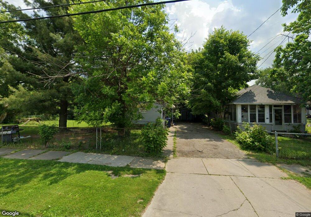
859 Tacken St Flint, MI 48532
West Court Gardens NeighborhoodEstimated Value: $28,000 - $60,866
2
Beds
1
Bath
851
Sq Ft
$56/Sq Ft
Est. Value
About This Home
This home is located at 859 Tacken St, Flint, MI 48532 and is currently estimated at $47,467, approximately $55 per square foot. 859 Tacken St is a home located in Genesee County with nearby schools including Durant-Tuuri-Mott Elementary School, St. Paul Lutheran School, and First Flint Seventh-day Adventist Christian School.
Ownership History
Date
Name
Owned For
Owner Type
Purchase Details
Closed on
Nov 19, 2014
Sold by
Genesee County Treasurer
Bought by
Fiantaconstruction Co
Current Estimated Value
Purchase Details
Closed on
Apr 9, 2008
Sold by
Pittenger Andrea
Bought by
Sizemore Charles C and Hodge Sandra G
Purchase Details
Closed on
Oct 25, 2007
Sold by
Federal Home Loan Mortgage Corporation
Bought by
Pittenger Andrea
Purchase Details
Closed on
Dec 13, 2006
Sold by
Reeves Kenneth E and Beauchamp Susan R
Bought by
Federal Home Loan Mortgage Corporation
Create a Home Valuation Report for This Property
The Home Valuation Report is an in-depth analysis detailing your home's value as well as a comparison with similar homes in the area
Home Values in the Area
Average Home Value in this Area
Purchase History
| Date | Buyer | Sale Price | Title Company |
|---|---|---|---|
| Fiantaconstruction Co | $300 | None Available | |
| Sizemore Charles C | $35,000 | None Available | |
| Pittenger Andrea | $10,000 | None Available | |
| Federal Home Loan Mortgage Corporation | $65,069 | None Available |
Source: Public Records
Tax History
| Year | Tax Paid | Tax Assessment Tax Assessment Total Assessment is a certain percentage of the fair market value that is determined by local assessors to be the total taxable value of land and additions on the property. | Land | Improvement |
|---|---|---|---|---|
| 2025 | $928 | $20,600 | $0 | $0 |
| 2024 | $864 | $20,600 | $0 | $0 |
| 2023 | $848 | $18,100 | $0 | $0 |
| 2022 | $0 | $14,600 | $0 | $0 |
| 2021 | $858 | $13,000 | $0 | $0 |
| 2020 | $794 | $11,400 | $0 | $0 |
| 2019 | $780 | $10,400 | $0 | $0 |
| 2018 | $819 | $7,700 | $0 | $0 |
| 2017 | $1,117 | $0 | $0 | $0 |
| 2016 | $767 | $0 | $0 | $0 |
| 2015 | -- | $0 | $0 | $0 |
| 2014 | -- | $0 | $0 | $0 |
| 2012 | -- | $10,800 | $0 | $0 |
Source: Public Records
Map
Nearby Homes
- 863 Tacken St
- 870 Tacken St
- 874 Tacken St
- 3824 Mann Hall Ave
- 3302 Van Buren Ave
- 991 S Ballenger Hwy
- 976 Barney Ave
- 960 Mann Ave
- 0000 Beecher Rd
- 936 Stocker Ave
- 915 Stocker Ave
- 3318 Norwood Dr
- 3801 Augusta St
- 3617 Sherwood Dr
- 911 Hughes Ave
- 3018 Fielding St
- 1017 Stocker Ave
- 3320 Timberview St
- 3413 Augusta St
- 3288 Tall Oaks Ct
- 3925 W Kearsley St
- 3921 W Kearsley St
- 3918 Joyner St
- 3917 W Kearsley St
- 3910 Joyner St
- 3913 W Kearsley St
- 856 Tacken St
- 852 Tacken St
- 837 Tacken St
- 4018 Joyner St
- 3906 Joyner St
- 3909 W Kearsley St
- 3925 Joyner St
- 871 Tacken St
- 3921 Joyner St
- 3917 Joyner St
- 4002 W Kearsley St
- 833 Tacken St
- 3902 Joyner St
- 3905 W Kearsley St
Your Personal Tour Guide
Ask me questions while you tour the home.