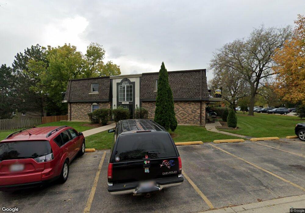
859 Trace Dr Unit 2205 Buffalo Grove, IL 60089
South Buffalo Grove NeighborhoodEstimated Value: $172,185 - $175,000
2
Beds
--
Bath
900
Sq Ft
$193/Sq Ft
Est. Value
About This Home
This home is located at 859 Trace Dr Unit 2205, Buffalo Grove, IL 60089 and is currently estimated at $173,296, approximately $192 per square foot. 859 Trace Dr Unit 2205 is a home located in Cook County with nearby schools including Edgar A. Poe Elementary School, Cooper Middle School, and Buffalo Grove High School.
Ownership History
Date
Name
Owned For
Owner Type
Purchase Details
Closed on
Aug 6, 2007
Sold by
Hudson Monique
Bought by
Marcelin Marie Solidad
Current Estimated Value
Home Financials for this Owner
Home Financials are based on the most recent Mortgage that was taken out on this home.
Original Mortgage
$116,850
Outstanding Balance
$77,416
Interest Rate
7.87%
Mortgage Type
Unknown
Estimated Equity
$95,880
Purchase Details
Closed on
Mar 25, 2000
Sold by
Elvira Silversteyn Boris and Elvira Silvesteyn
Bought by
Hudson Monique
Home Financials for this Owner
Home Financials are based on the most recent Mortgage that was taken out on this home.
Original Mortgage
$58,500
Interest Rate
10.99%
Purchase Details
Closed on
Oct 23, 1998
Sold by
Harris Bank Palatine
Bought by
Silversteyn Boris and Silversteyn Elvira
Create a Home Valuation Report for This Property
The Home Valuation Report is an in-depth analysis detailing your home's value as well as a comparison with similar homes in the area
Home Values in the Area
Average Home Value in this Area
Purchase History
| Date | Buyer | Sale Price | Title Company |
|---|---|---|---|
| Marcelin Marie Solidad | $123,000 | Superior Title Co | |
| Hudson Monique | $65,000 | -- | |
| Silversteyn Boris | $53,000 | Ticor Title |
Source: Public Records
Mortgage History
| Date | Status | Borrower | Loan Amount |
|---|---|---|---|
| Open | Marcelin Marie Solidad | $116,850 | |
| Previous Owner | Hudson Monique | $58,500 |
Source: Public Records
Tax History
| Year | Tax Paid | Tax Assessment Tax Assessment Total Assessment is a certain percentage of the fair market value that is determined by local assessors to be the total taxable value of land and additions on the property. | Land | Improvement |
|---|---|---|---|---|
| 2025 | $2,539 | $15,331 | $3,490 | $11,841 |
| 2024 | $2,539 | $11,250 | $2,908 | $8,342 |
| 2023 | $2,411 | $11,250 | $2,908 | $8,342 |
| 2022 | $2,411 | $11,250 | $2,908 | $8,342 |
| 2021 | $1,028 | $6,240 | $290 | $5,950 |
| 2020 | $1,079 | $6,240 | $290 | $5,950 |
| 2019 | $1,073 | $6,894 | $290 | $6,604 |
| 2018 | $689 | $5,436 | $232 | $5,204 |
| 2017 | $697 | $5,436 | $232 | $5,204 |
| 2016 | $923 | $5,436 | $232 | $5,204 |
| 2015 | $918 | $5,326 | $1,454 | $3,872 |
| 2014 | $921 | $5,326 | $1,454 | $3,872 |
| 2013 | $833 | $5,326 | $1,454 | $3,872 |
Source: Public Records
Map
Nearby Homes
- 805 Grove Dr Unit 206
- 705 Grove Dr Unit 101
- 737 W Happfield Dr
- 1096 Beechwood Rd
- 760 Weidner Rd Unit 107
- 760 Weidner Rd Unit 307
- 3223 N Heritage Ln
- 462 Longwood Dr
- 535 Weidner Rd
- 517 Longwood Dr
- 820 Weidner Rd Unit 4013
- 820 Weidner Rd Unit 409
- 800 Weidner Rd Unit 208
- 271 Terrace Place
- 671 Hapsfield Ln Unit 105
- 267 Timber Hill Rd
- 621 Hapsfield Ln Unit 103
- 631 Hapsfield Ln Unit 631106
- 4210 N Walnut Ave
- 3451 N Carriageway Dr Unit 305
- 859 Trace Dr Unit 2210
- 859 Trace Dr Unit 2208
- 859 Trace Dr Unit 2207
- 859 Trace Dr Unit 2203
- 859 Trace Dr Unit 2202
- 859 Trace Dr Unit 2107
- 859 Trace Dr Unit 2110
- 859 Trace Dr Unit 2206
- 859 Trace Dr Unit 2108
- 859 Trace Dr Unit 205
- 859 Trace Dr Unit 210
- 859 Trace Dr Unit 105
- 859 Trace Dr Unit 110
- 879 Trace Dr Unit 206
- 879 Trace Dr Unit 1206
- 879 Trace Dr Unit 1101
- 879 Trace Dr Unit 1205
- 879 Trace Dr Unit 1203
- 879 Trace Dr Unit 1201
- 879 Trace Dr Unit 1107
Your Personal Tour Guide
Ask me questions while you tour the home.