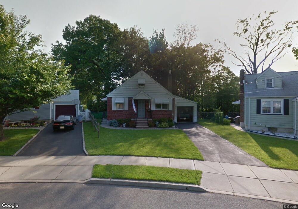
86 Barnsdale Rd Clifton, NJ 07013
Richfield NeighborhoodEstimated Value: $461,107 - $483,000
--
Bed
--
Bath
780
Sq Ft
$600/Sq Ft
Est. Value
About This Home
This home is located at 86 Barnsdale Rd, Clifton, NJ 07013 and is currently estimated at $467,777, approximately $599 per square foot. 86 Barnsdale Rd is a home located in Passaic County with nearby schools including Clifton High School, St Andrew Elementary School, and New Hope School.
Ownership History
Date
Name
Owned For
Owner Type
Purchase Details
Closed on
Jun 26, 2022
Sold by
Craig Peterson
Bought by
Kunis Thomas J
Current Estimated Value
Home Financials for this Owner
Home Financials are based on the most recent Mortgage that was taken out on this home.
Original Mortgage
$282,000
Outstanding Balance
$269,888
Interest Rate
5.81%
Mortgage Type
New Conventional
Estimated Equity
$197,889
Purchase Details
Closed on
Dec 5, 2005
Sold by
Exr Craig Peterson
Bought by
Peterson Craig
Create a Home Valuation Report for This Property
The Home Valuation Report is an in-depth analysis detailing your home's value as well as a comparison with similar homes in the area
Home Values in the Area
Average Home Value in this Area
Purchase History
| Date | Buyer | Sale Price | Title Company |
|---|---|---|---|
| Kunis Thomas J | $340,000 | New Title Company Name | |
| Peterson Craig | -- | -- |
Source: Public Records
Mortgage History
| Date | Status | Borrower | Loan Amount |
|---|---|---|---|
| Open | Kunis Thomas J | $282,000 |
Source: Public Records
Tax History Compared to Growth
Tax History
| Year | Tax Paid | Tax Assessment Tax Assessment Total Assessment is a certain percentage of the fair market value that is determined by local assessors to be the total taxable value of land and additions on the property. | Land | Improvement |
|---|---|---|---|---|
| 2025 | $8,963 | $151,000 | $102,900 | $48,100 |
| 2024 | $8,749 | $151,000 | $102,900 | $48,100 |
| 2022 | $8,622 | $151,000 | $102,900 | $48,100 |
| 2021 | $8,267 | $151,000 | $102,900 | $48,100 |
| 2020 | $8,212 | $149,500 | $102,900 | $46,600 |
| 2019 | $8,154 | $149,500 | $102,900 | $46,600 |
| 2018 | $8,107 | $149,500 | $102,900 | $46,600 |
| 2017 | $8,019 | $149,500 | $102,900 | $46,600 |
| 2016 | $7,864 | $149,500 | $102,900 | $46,600 |
| 2015 | $7,787 | $149,500 | $102,900 | $46,600 |
| 2014 | $7,627 | $149,500 | $102,900 | $46,600 |
Source: Public Records
Map
Nearby Homes
- 84 Barnsdale Rd
- 90 Barnsdale Rd
- 42 Oak Ridge Rd
- 46 Oak Ridge Rd
- 94 Barnsdale Rd
- 80 Barnsdale Rd
- 38 Oak Ridge Rd
- 98 Barnsdale Rd
- 79 Barnsdale Rd
- 102 Barnsdale Rd
- 76 Barnsdale Rd
- 90 Sunnycrest Ave Aka 995 Unit B
- 56 Oak Ridge Rd
- 75 Barnsdale Rd
- 50 Oak Ridge Rd
- 177 Bennington Ct
- 72 Barnsdale Rd
- 45 Oak Ridge Rd
- 71 Barnsdale Rd
- 104 Barnsdale Rd