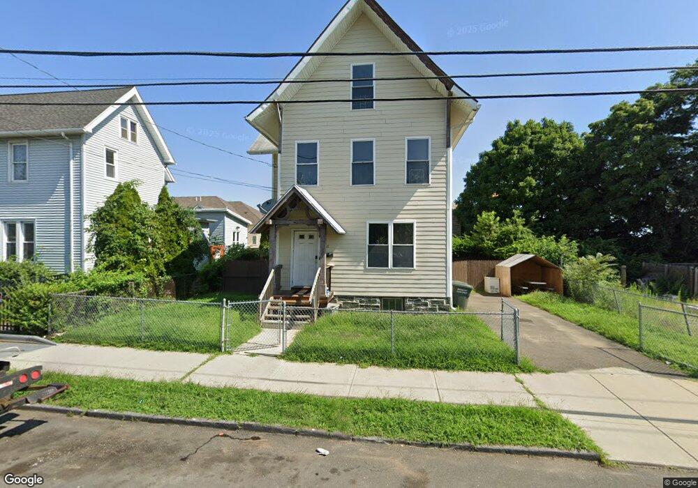
86 Catherine St Bridgeport, CT 06604
The Hollow NeighborhoodEstimated Value: $281,071 - $494,000
4
Beds
2
Baths
1,325
Sq Ft
$288/Sq Ft
Est. Value
About This Home
This home is located at 86 Catherine St, Bridgeport, CT 06604 and is currently estimated at $381,768, approximately $288 per square foot. 86 Catherine St is a home located in Fairfield County with nearby schools including Bassick High School, Capital Prep Harbor Upper School, and Catholic Academy of Bridgeport-St. Raphael Academy.
Ownership History
Date
Name
Owned For
Owner Type
Purchase Details
Closed on
Oct 30, 2007
Sold by
Habitat Humanity Count
Bought by
Daniels Loesley
Current Estimated Value
Home Financials for this Owner
Home Financials are based on the most recent Mortgage that was taken out on this home.
Original Mortgage
$113,500
Outstanding Balance
$71,850
Interest Rate
6.39%
Estimated Equity
$309,918
Create a Home Valuation Report for This Property
The Home Valuation Report is an in-depth analysis detailing your home's value as well as a comparison with similar homes in the area
Home Values in the Area
Average Home Value in this Area
Purchase History
| Date | Buyer | Sale Price | Title Company |
|---|---|---|---|
| Daniels Loesley | $112,500 | -- | |
| Daniels Loesley | $112,500 | -- |
Source: Public Records
Mortgage History
| Date | Status | Borrower | Loan Amount |
|---|---|---|---|
| Open | Daniels Loesley | $113,500 | |
| Closed | Daniels Loesley | $113,500 |
Source: Public Records
Tax History Compared to Growth
Tax History
| Year | Tax Paid | Tax Assessment Tax Assessment Total Assessment is a certain percentage of the fair market value that is determined by local assessors to be the total taxable value of land and additions on the property. | Land | Improvement |
|---|---|---|---|---|
| 2025 | $3,422 | $78,750 | $35,770 | $42,980 |
| 2024 | $3,422 | $78,750 | $35,770 | $42,980 |
| 2023 | $3,422 | $78,750 | $35,770 | $42,980 |
| 2022 | $3,422 | $78,750 | $35,770 | $42,980 |
| 2021 | $3,422 | $78,750 | $35,770 | $42,980 |
| 2020 | $4,252 | $78,750 | $21,010 | $57,740 |
| 2019 | $4,252 | $78,750 | $21,010 | $57,740 |
| 2018 | $4,282 | $78,750 | $21,010 | $57,740 |
| 2017 | $4,282 | $78,750 | $21,010 | $57,740 |
| 2016 | $4,282 | $78,750 | $21,010 | $57,740 |
| 2015 | $3,323 | $78,746 | $26,820 | $51,926 |
| 2014 | $3,323 | $78,746 | $26,820 | $51,926 |
Source: Public Records
Map
Nearby Homes
- 139 Highland Ave Unit 143
- 75 Sanford Ave
- 318 Center St
- 183 Calhoun Ave
- 120 Milne St Unit 122
- 113 Milne St Unit 115
- 191 Oak St
- 79 William St
- 309 Pequonnock St
- 200 Harral Ave
- 213 Harral Ave Unit 215
- 78 Fairmount Ave
- 289 Harriet St
- 90 Tom Thumb St
- 485 Noble Ave
- 5 William Place
- 76 Porter St
- 40 Jane St
- 39 Jane St
- 627 Noble Ave
- 104 Catherine St Unit 106
- 95 Catherine St Unit 97
- 116- 118 Catherine St
- 775 Washington Ave
- 127 Madison Ave Unit 2ND F
- 85 Madison Ave
- 85 Madison Ave
- 103 Catherine St Unit 109
- 130 Catherine St
- 124 Catherine St Unit 130
- 125 Catherine St Unit 127
- 755 Washington Ave
- 83 Madison Ave Unit 87
- 30-32 Center St
- 50 Madison Ave
- 58 Madison Ave Unit 64
- 83-87 Madison Ave
- 56 Madison Ave
- 30 Center St Unit 32
- 48 Center St Unit 54