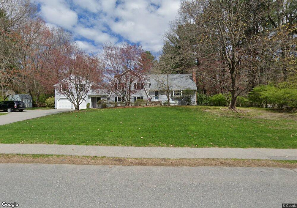
86 Cider Mill Rd Sudbury, MA 01776
Estimated Value: $1,225,000 - $1,562,000
4
Beds
3
Baths
3,733
Sq Ft
$359/Sq Ft
Est. Value
About This Home
This home is located at 86 Cider Mill Rd, Sudbury, MA 01776 and is currently estimated at $1,338,490, approximately $358 per square foot. 86 Cider Mill Rd is a home located in Middlesex County with nearby schools including Israel Loring Elementary School, Ephraim Curtis Middle School, and Lincoln-Sudbury Regional High School.
Ownership History
Date
Name
Owned For
Owner Type
Purchase Details
Closed on
Jan 17, 1997
Sold by
Leighton Peter M and Leighton Abigail
Bought by
Zuckerman Craig and Zuckerman Teresa F
Current Estimated Value
Home Financials for this Owner
Home Financials are based on the most recent Mortgage that was taken out on this home.
Original Mortgage
$207,000
Interest Rate
7.36%
Mortgage Type
Purchase Money Mortgage
Create a Home Valuation Report for This Property
The Home Valuation Report is an in-depth analysis detailing your home's value as well as a comparison with similar homes in the area
Home Values in the Area
Average Home Value in this Area
Purchase History
| Date | Buyer | Sale Price | Title Company |
|---|---|---|---|
| Zuckerman Craig | $360,500 | -- | |
| Zuckerman Craig | $360,500 | -- |
Source: Public Records
Mortgage History
| Date | Status | Borrower | Loan Amount |
|---|---|---|---|
| Open | Zuckerman Craig | $205,000 | |
| Closed | Zuckerman Craig | $207,000 | |
| Previous Owner | Zuckerman Craig | $100,000 |
Source: Public Records
Tax History Compared to Growth
Tax History
| Year | Tax Paid | Tax Assessment Tax Assessment Total Assessment is a certain percentage of the fair market value that is determined by local assessors to be the total taxable value of land and additions on the property. | Land | Improvement |
|---|---|---|---|---|
| 2025 | $16,660 | $1,138,000 | $501,200 | $636,800 |
| 2024 | $16,071 | $1,100,000 | $486,800 | $613,200 |
| 2023 | $15,693 | $995,100 | $434,800 | $560,300 |
| 2022 | $14,631 | $810,600 | $398,800 | $411,800 |
| 2021 | $13,957 | $741,200 | $398,800 | $342,400 |
| 2020 | $13,675 | $741,200 | $398,800 | $342,400 |
| 2019 | $13,275 | $741,200 | $398,800 | $342,400 |
| 2018 | $12,750 | $711,100 | $424,400 | $286,700 |
| 2017 | $12,203 | $687,900 | $420,800 | $267,100 |
| 2016 | $11,901 | $668,600 | $404,800 | $263,800 |
| 2015 | $11,218 | $637,400 | $393,200 | $244,200 |
| 2014 | $11,164 | $619,200 | $381,600 | $237,600 |
Source: Public Records
Map
Nearby Homes
- 91 Eaton Rd W
- 19 Nob Hill Dr
- 14 Eisenhower Rd
- 32 Eaton Rd W
- 84 Hopestill Brown Rd
- 30 Nobscot Rd Unit 14
- 41 James St
- 0 Wagonwheel Rd
- 1011 Boston Post Rd
- 106 Baldwin Ave
- 40 Gregory Rd
- 24 Woodland Rd
- 78 Apple d or Rd
- 63 Landham Rd
- 53 Davidson Rd
- 7 Adams Rd
- 216 Landham Rd
- 23 Massasoit Ave
- 50 Juniper Ln
- 36 Concord Rd
- 52 Raymond Rd
- 49 Raymond Rd
- 39 Raymond Rd
- 83 Cider Mill Rd
- 83 Cider Mill Rd Unit 1
- 83 Cider Mill Rd
- 77 Cider Mill Rd
- 11 Robert Frost Rd
- 29 Raymond Rd
- 22 Raymond Rd
- 9 Moran Cir
- 60 Raymond Rd
- 6 Robert Frost Rd
- 19 Robert Frost Rd
- 71 Cider Mill Rd
- 35 Moran Cir
- 14 Raymond Rd
- 21 Raymond Rd
- 29 Moran Cir
- 27 Robert Frost Rd