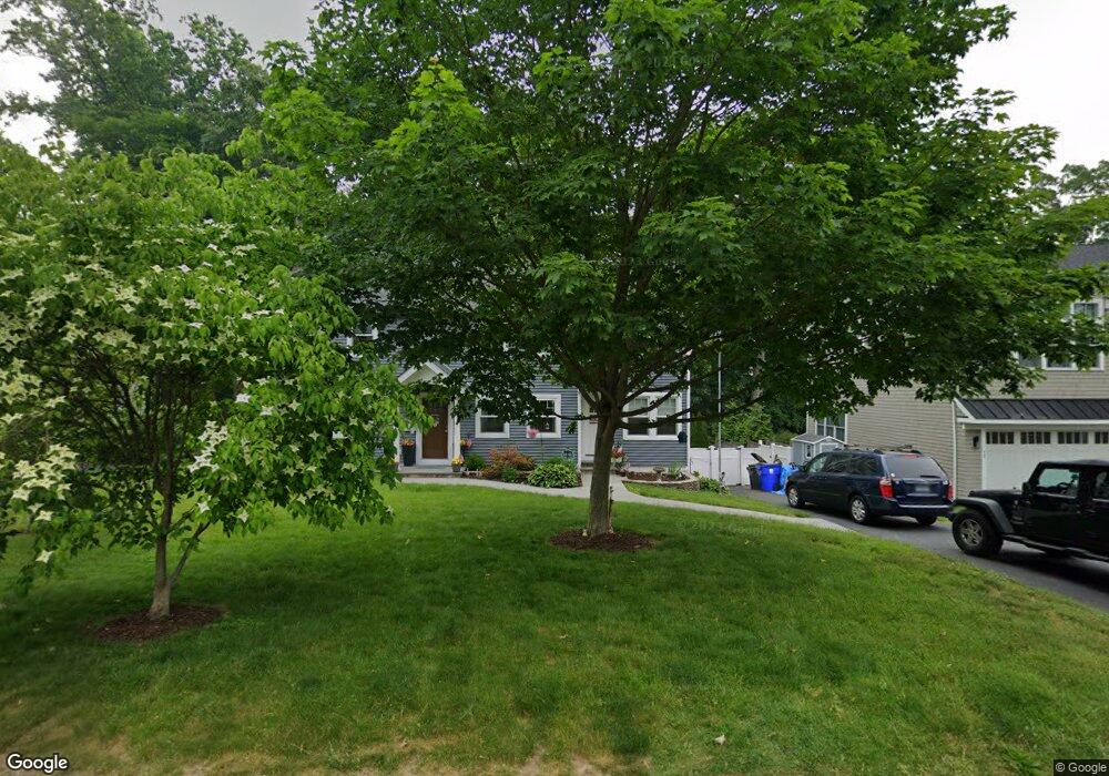
86 Mayweed Rd Fairfield, CT 06824
University NeighborhoodEstimated Value: $676,000 - $1,234,000
4
Beds
5
Baths
1,718
Sq Ft
$556/Sq Ft
Est. Value
About This Home
This home is located at 86 Mayweed Rd, Fairfield, CT 06824 and is currently estimated at $954,756, approximately $555 per square foot. 86 Mayweed Rd is a home located in Fairfield County with nearby schools including Osborn Hill Elementary School, Fairfield Woods Middle School, and Fairfield Ludlowe High School.
Ownership History
Date
Name
Owned For
Owner Type
Purchase Details
Closed on
Jul 24, 2006
Sold by
Verzaro Celestine R
Bought by
Piccininni Mauro and Piccininni Domenica
Current Estimated Value
Home Financials for this Owner
Home Financials are based on the most recent Mortgage that was taken out on this home.
Original Mortgage
$395,200
Outstanding Balance
$234,880
Interest Rate
6.67%
Estimated Equity
$719,876
Create a Home Valuation Report for This Property
The Home Valuation Report is an in-depth analysis detailing your home's value as well as a comparison with similar homes in the area
Home Values in the Area
Average Home Value in this Area
Purchase History
| Date | Buyer | Sale Price | Title Company |
|---|---|---|---|
| Piccininni Mauro | $494,000 | -- | |
| Piccininni Mauro | $494,000 | -- |
Source: Public Records
Mortgage History
| Date | Status | Borrower | Loan Amount |
|---|---|---|---|
| Open | Piccininni Mauro | $395,200 | |
| Closed | Piccininni Mauro | $74,100 | |
| Closed | Piccininni Mauro | $395,200 |
Source: Public Records
Tax History
| Year | Tax Paid | Tax Assessment Tax Assessment Total Assessment is a certain percentage of the fair market value that is determined by local assessors to be the total taxable value of land and additions on the property. | Land | Improvement |
|---|---|---|---|---|
| 2025 | $10,429 | $367,360 | $236,110 | $131,250 |
| 2024 | $10,249 | $367,360 | $236,110 | $131,250 |
| 2023 | $10,106 | $367,360 | $236,110 | $131,250 |
| 2022 | $10,007 | $367,360 | $236,110 | $131,250 |
| 2021 | $9,911 | $367,360 | $236,110 | $131,250 |
| 2020 | $8,208 | $306,390 | $193,900 | $112,490 |
| 2019 | $8,208 | $306,390 | $193,900 | $112,490 |
| 2018 | $8,076 | $306,390 | $193,900 | $112,490 |
| 2017 | $7,911 | $306,390 | $193,900 | $112,490 |
| 2016 | $7,798 | $306,390 | $193,900 | $112,490 |
| 2015 | $7,802 | $314,720 | $205,800 | $108,920 |
| 2014 | $7,679 | $314,720 | $205,800 | $108,920 |
Source: Public Records
Map
Nearby Homes
- 1478 Jennings Rd
- 15 Barton Rd
- 68 Figlar Ave
- 70 Meadow Ridge Rd
- 77 Meadowbrook Rd
- 274 High St
- 1091 Round Hill Rd
- 164 Wakeman Rd
- 42 Robin Cir
- 196 Robin Ln
- 20 Ermine St
- 12 Reynolds Dr
- 359 Reid St
- 240 Sunnyridge Ave Unit 63
- 1353 Mill Plain Rd
- 245 Reid St
- 28 Country Rd
- 1 Overlook Ave
- 65 Benton St
- 652 Black Rock Turnpike
Your Personal Tour Guide
Ask me questions while you tour the home.