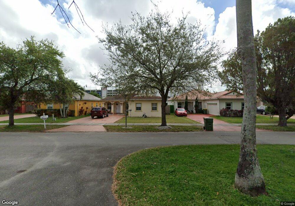
86 NW 2nd St Homestead, FL 33030
Downtown Homestead NeighborhoodEstimated Value: $498,000 - $544,000
4
Beds
2
Baths
1,682
Sq Ft
$313/Sq Ft
Est. Value
About This Home
This home is located at 86 NW 2nd St, Homestead, FL 33030 and is currently estimated at $526,745, approximately $313 per square foot. 86 NW 2nd St is a home located in Miami-Dade County with nearby schools including West Homestead K-8 Center, Homestead Middle School, and Arthur And Polly Mays Conservatory Of The Arts.
Ownership History
Date
Name
Owned For
Owner Type
Purchase Details
Closed on
Nov 28, 2000
Sold by
Lowell At Pioneer Village Inc
Bought by
Tilleman John A and Tilleman Andrea
Current Estimated Value
Purchase Details
Closed on
May 23, 2000
Sold by
Homestead Economic Rebuilding Organiza
Bought by
Lowell At Pioneer Village Inc
Create a Home Valuation Report for This Property
The Home Valuation Report is an in-depth analysis detailing your home's value as well as a comparison with similar homes in the area
Home Values in the Area
Average Home Value in this Area
Purchase History
| Date | Buyer | Sale Price | Title Company |
|---|---|---|---|
| Tilleman John A | $113,400 | -- | |
| Lowell At Pioneer Village Inc | $100 | -- |
Source: Public Records
Mortgage History
| Date | Status | Borrower | Loan Amount |
|---|---|---|---|
| Open | Lowell At Pioneer Village Inc | $112,000 | |
| Closed | Lowell At Pioneer Village Inc | $18,000 |
Source: Public Records
Tax History Compared to Growth
Tax History
| Year | Tax Paid | Tax Assessment Tax Assessment Total Assessment is a certain percentage of the fair market value that is determined by local assessors to be the total taxable value of land and additions on the property. | Land | Improvement |
|---|---|---|---|---|
| 2025 | $1,944 | $106,953 | -- | -- |
| 2024 | $8,369 | $103,939 | -- | -- |
| 2023 | $8,369 | $100,912 | $0 | $0 |
| 2022 | $8,172 | $97,973 | $0 | $0 |
| 2021 | $8,175 | $96,223 | $0 | $0 |
| 2020 | $7,660 | $94,895 | $0 | $0 |
| 2019 | $7,617 | $92,762 | $0 | $0 |
| 2018 | $1,062 | $91,033 | $0 | $0 |
| 2017 | $1,039 | $89,161 | $0 | $0 |
| 2016 | $1,022 | $87,328 | $0 | $0 |
| 2015 | $1,029 | $86,721 | $0 | $0 |
| 2014 | $1,052 | $86,033 | $0 | $0 |
Source: Public Records
Map
Nearby Homes
- 233 N Krome Ave
- 19114 SW 345th Terrace
- 0 Tbd Unit A11740841
- UNINCORPORATED, Homestead
- 18963 SW 345th Terrace Unit 18963
- 18991 SW 345th Terrace
- 42 SE 1st Rd
- 306 NE 1st Rd
- NW 6 STREET NW 4 Ave
- 318 NE 1st Rd
- 330 NE 1st Rd
- 360 S Homestead Blvd
- 236 NW 6 Ave
- 520 SW Krome Terrace
- 211 SW 4th Ct
- 318 SW 5th St
- 846 NW 3rd Ave
- 185 NE 8th St (Campbell Dr)
- 426 SW 6th Ave
- 604 SW 6th Ave