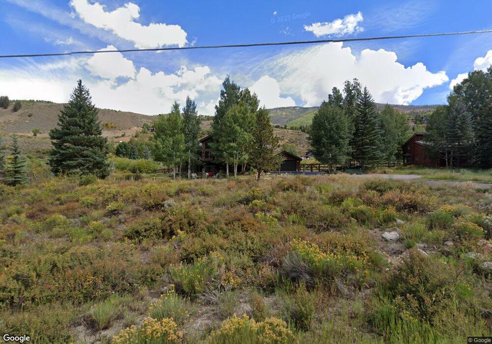
86 Riverside Dr Silverthorne, CO 80498
Estimated Value: $1,950,456 - $2,417,000
4
Beds
4
Baths
2,214
Sq Ft
$968/Sq Ft
Est. Value
About This Home
This home is located at 86 Riverside Dr, Silverthorne, CO 80498 and is currently estimated at $2,142,114, approximately $967 per square foot. 86 Riverside Dr is a home located in Summit County with nearby schools including Silverthorne Elementary School, Summit Middle School, and Summit High School.
Ownership History
Date
Name
Owned For
Owner Type
Purchase Details
Closed on
Dec 16, 2008
Sold by
Davis Francina M
Bought by
Francina M Davis Trust
Current Estimated Value
Home Financials for this Owner
Home Financials are based on the most recent Mortgage that was taken out on this home.
Original Mortgage
$500,000
Outstanding Balance
$416,217
Interest Rate
6.19%
Mortgage Type
Future Advance Clause Open End Mortgage
Estimated Equity
$1,725,897
Create a Home Valuation Report for This Property
The Home Valuation Report is an in-depth analysis detailing your home's value as well as a comparison with similar homes in the area
Home Values in the Area
Average Home Value in this Area
Purchase History
| Date | Buyer | Sale Price | Title Company |
|---|---|---|---|
| Francina M Davis Trust | -- | Land Title Guarantee Company | |
| Davis Francina M | $740,000 | Land Title Guarantee Company |
Source: Public Records
Mortgage History
| Date | Status | Borrower | Loan Amount |
|---|---|---|---|
| Open | Davis Francina M | $500,000 |
Source: Public Records
Tax History
| Year | Tax Paid | Tax Assessment Tax Assessment Total Assessment is a certain percentage of the fair market value that is determined by local assessors to be the total taxable value of land and additions on the property. | Land | Improvement |
|---|---|---|---|---|
| 2024 | $6,506 | $124,117 | -- | -- |
| 2023 | $6,506 | $120,433 | $0 | $0 |
| 2022 | $4,590 | $80,328 | $0 | $0 |
| 2021 | $4,630 | $82,640 | $0 | $0 |
| 2020 | $3,172 | $60,485 | $0 | $0 |
| 2019 | $3,128 | $60,485 | $0 | $0 |
| 2018 | $2,945 | $55,174 | $0 | $0 |
| 2017 | $2,694 | $55,174 | $0 | $0 |
| 2016 | $2,725 | $54,976 | $0 | $0 |
| 2015 | $2,639 | $54,976 | $0 | $0 |
| 2014 | $2,482 | $51,031 | $0 | $0 |
| 2013 | -- | $51,031 | $0 | $0 |
Source: Public Records
Map
Nearby Homes
- 28 Damselfly
- 468 Fly Line Dr
- 312 Kestrel Ln Unit 312
- 279 Kestrel Ln Unit 279
- 402 Kestrel Ln
- 2206 Hamilton Creek Rd
- 1813 Stellar Dr
- 104 Talon Cir
- 328 Raven Golf Ln
- 304 Raven Golf Ln
- 530 Lakeview Cir
- 1730 Red Hawk Rd
- 1709 Red Hawk Rd
- 65 Aerie Dr
- 113 Badger Ct
- 308 Red Hawk Cir
- 731 Lakeview Cir
- 84 Mayfly Dr
- 70 Mayfly Dr
- 70 Mayfly Dr Unit 3
- 56 Riverside Dr
- 126 Riverside Dr
- 75 Riverside Dr
- 113 Hillside Dr
- 73 Hillside Dr
- 153 Hillside Dr
- 45 Riverside Dr
- 156 Riverside Dr
- 435 Hamilton Creek Rd
- 135 Riverside Dr
- 23 Hillside Dr
- 114 Hillside Dr
- 28 Summit Dr
- 396 Hamilton Creek Rd
- 74 Hillside Dr
- 165 Riverside Dr
- 74 Hillside Dr
- 24 Hillside Dr
- 154 Hillside Dr
- 36 Riverside Dr
Your Personal Tour Guide
Ask me questions while you tour the home.