Estimated Value: $187,897 - $248,000
Studio
2
Baths
1,808
Sq Ft
$115/Sq Ft
Est. Value
About This Home
This home is located at 86 Simpson Ln, Perry, AR 72125 and is currently estimated at $207,474, approximately $114 per square foot. 86 Simpson Ln is a home located in Conway County with nearby schools including Morrilton Primary School, Morrilton Elementary School, and Morrilton Intermediate School.
Ownership History
Date
Name
Owned For
Owner Type
Purchase Details
Closed on
May 19, 2021
Sold by
Williamson Natalie and Williamson Wallace
Bought by
Denton Cindy D and Denton Shawn
Current Estimated Value
Home Financials for this Owner
Home Financials are based on the most recent Mortgage that was taken out on this home.
Original Mortgage
$137,464
Outstanding Balance
$124,577
Interest Rate
3.1%
Mortgage Type
FHA
Estimated Equity
$82,897
Purchase Details
Closed on
Dec 29, 2016
Sold by
Halter Anthony and Halter Anthony Joseph
Bought by
Williamson Natalie and Williamson Wallace
Purchase Details
Closed on
Jul 22, 2004
Bought by
Gray Michael J
Purchase Details
Closed on
Aug 1, 1972
Bought by
Adams Larry and Adams Winona
Create a Home Valuation Report for This Property
The Home Valuation Report is an in-depth analysis detailing your home's value as well as a comparison with similar homes in the area
Purchase History
| Date | Buyer | Sale Price | Title Company |
|---|---|---|---|
| Denton Cindy D | $145,000 | Morrilton Abstract Co Inc | |
| Williamson Natalie | $91,000 | Morrilton Abstract Co Inc | |
| Gray Michael J | $100,000 | -- | |
| Adams Larry | -- | -- |
Source: Public Records
Mortgage History
| Date | Status | Borrower | Loan Amount |
|---|---|---|---|
| Open | Denton Cindy D | $137,464 |
Source: Public Records
Tax History
| Year | Tax Paid | Tax Assessment Tax Assessment Total Assessment is a certain percentage of the fair market value that is determined by local assessors to be the total taxable value of land and additions on the property. | Land | Improvement |
|---|---|---|---|---|
| 2025 | $849 | $29,510 | $2,820 | $26,690 |
| 2024 | $1,024 | $29,510 | $2,820 | $26,690 |
| 2023 | $1,024 | $29,510 | $2,820 | $26,690 |
| 2022 | $1,074 | $29,510 | $2,820 | $26,690 |
| 2021 | $648 | $20,820 | $2,620 | $18,200 |
| 2020 | $648 | $20,820 | $2,620 | $18,200 |
| 2019 | $648 | $20,820 | $2,620 | $18,200 |
| 2018 | $673 | $20,820 | $2,620 | $18,200 |
| 2017 | $673 | $20,820 | $2,620 | $18,200 |
| 2016 | $765 | $23,020 | $2,790 | $20,230 |
| 2015 | $765 | $23,020 | $2,790 | $20,230 |
| 2014 | $674 | $23,020 | $2,790 | $20,230 |
Source: Public Records
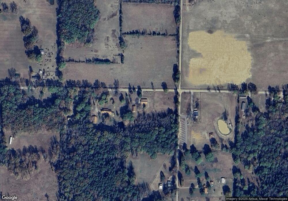
Map
Nearby Homes
- 10 Rankin St
- 21 Brents Rd
- 23 Bryant Ave
- 7 Tanglewood Ave
- 308 5th Ave
- 394 Copperas Gap Rd
- 99 Sandtown Rd
- 00 S Burrow St
- 903 & 905 S Moose St
- 901 & 902 S Moose St
- 15 Glory Ln
- 13 Eugenia St
- 67 Turkey Run Loop
- 9 W Winthrop Rd
- 4 Winthrop Dr
- 00 Winthrop Dr
- 403 S West St
- 401 S Moose St
- 304 S Ola St
- 405 W Valley St
- 66 Simpson Ln
- 0 9 75 Acres van Marion Dr
- 9.75 Acres van Marion Dr
- 0 van Marion Dr
- 54 Simpson Ln
- 33 van Marion Dr
- 30 van Marion Dr
- 130 Simpson Ln
- 176 Todd St
- 9 Simpson Ln
- 190 Todd St
- 230 Highway 9
- 260 Highway 9
- 242 Highway 9
- 39 Simpson Ln
- 256 Highway 9
- 210 Highway 9
- 156 Todd St
- 206 Highway 9
- 221 Highway 9
Your Personal Tour Guide
Ask me questions while you tour the home.