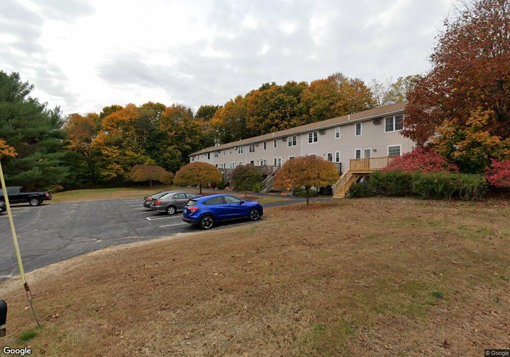
86 Sterling St Unit F West Boylston, MA 01583
Estimated Value: $289,000 - $355,000
3
Beds
2
Baths
1,260
Sq Ft
$255/Sq Ft
Est. Value
About This Home
This home is located at 86 Sterling St Unit F, West Boylston, MA 01583 and is currently estimated at $320,799, approximately $254 per square foot. 86 Sterling St Unit F is a home located in Worcester County with nearby schools including Major Edwards Elementary School and West Boylston Junior/Senior High School.
Ownership History
Date
Name
Owned For
Owner Type
Purchase Details
Closed on
Sep 29, 2000
Sold by
Lj96 Corp
Bought by
Mackay Kathleen M
Current Estimated Value
Home Financials for this Owner
Home Financials are based on the most recent Mortgage that was taken out on this home.
Original Mortgage
$85,900
Interest Rate
7.94%
Mortgage Type
Purchase Money Mortgage
Create a Home Valuation Report for This Property
The Home Valuation Report is an in-depth analysis detailing your home's value as well as a comparison with similar homes in the area
Home Values in the Area
Average Home Value in this Area
Purchase History
| Date | Buyer | Sale Price | Title Company |
|---|---|---|---|
| Mackay Kathleen M | $90,450 | -- |
Source: Public Records
Mortgage History
| Date | Status | Borrower | Loan Amount |
|---|---|---|---|
| Open | Mackay Kathleen M | $120,000 | |
| Closed | Mackay Kathleen M | $97,500 | |
| Closed | Mackay Kathleen M | $85,900 |
Source: Public Records
Tax History Compared to Growth
Tax History
| Year | Tax Paid | Tax Assessment Tax Assessment Total Assessment is a certain percentage of the fair market value that is determined by local assessors to be the total taxable value of land and additions on the property. | Land | Improvement |
|---|---|---|---|---|
| 2025 | $33 | $238,300 | $0 | $238,300 |
| 2024 | $3,433 | $232,300 | $0 | $232,300 |
| 2023 | $3,244 | $208,200 | $0 | $208,200 |
| 2022 | $3,156 | $178,500 | $0 | $178,500 |
| 2021 | $3,081 | $166,900 | $0 | $166,900 |
| 2020 | $2,698 | $145,200 | $0 | $145,200 |
| 2019 | $2,680 | $142,200 | $0 | $142,200 |
| 2018 | $2,625 | $140,200 | $0 | $140,200 |
| 2017 | $3,012 | $160,200 | $0 | $160,200 |
| 2016 | $2,878 | $156,000 | $0 | $156,000 |
| 2015 | $2,861 | $156,000 | $0 | $156,000 |
Source: Public Records
Map
Nearby Homes
- 101 Sterling St
- 12 Winthrop St
- 136 Sterling St Unit A3
- 20 Winthrop St
- 26 Townsend Dr
- 64 Worcester St
- 113 Newton St
- 16 N Main St
- 112 N Main St
- 156 Prospect St
- 152 Worcester St Unit 8
- 39 Bowen St
- 62 Maple St
- 21 Myrtle Ave
- 2 Lakeview Ave
- 287 Laurel St
- 0 Boutelle Rd
- 9 Kings Mountain Dr
- 39 Davidson Rd
- 61 Boutelle Rd
- 86 Sterling St Unit H
- 86 Sterling St Unit G
- 86 Sterling St Unit E
- 86 Sterling St Unit D
- 86 Sterling St Unit C
- 86 Sterling St Unit B
- 86 Sterling St Unit A
- 51 Lancaster St
- 45 Lancaster St
- 90 Sterling St
- 90 Sterling St Unit K
- 90 Sterling St Unit A
- 90 Sterling St Unit N
- 90 Sterling St Unit H
- 90 Sterling St Unit C
- 90 Sterling St Unit J
- 90 Sterling St Unit M
- 90 Sterling St Unit G
- 90 Sterling St Unit I
- 90 Sterling St Unit B