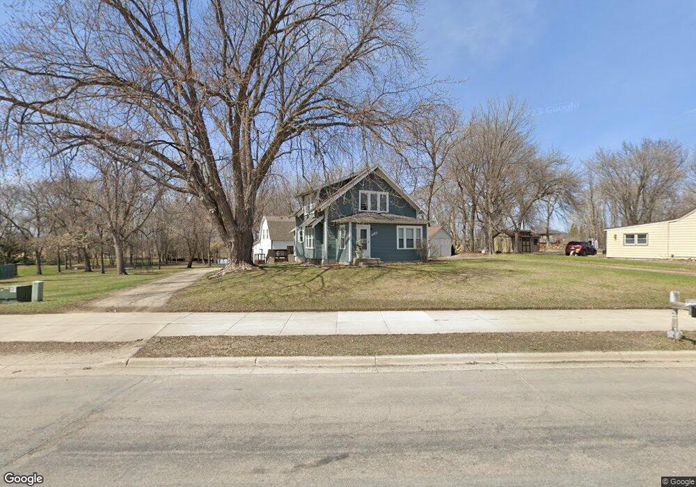
860 Dale St SW Hutchinson, MN 55350
Estimated Value: $240,000 - $306,000
3
Beds
2
Baths
1,620
Sq Ft
$166/Sq Ft
Est. Value
About This Home
This home is located at 860 Dale St SW, Hutchinson, MN 55350 and is currently estimated at $269,579, approximately $166 per square foot. 860 Dale St SW is a home located in McLeod County with nearby schools including Hutchinson West Elementary School, Hutchinson Park Elementary School, and Hutchinson Middle School.
Ownership History
Date
Name
Owned For
Owner Type
Purchase Details
Closed on
Jul 23, 2020
Sold by
Malone Mary A
Bought by
Tolzmann Harley
Current Estimated Value
Home Financials for this Owner
Home Financials are based on the most recent Mortgage that was taken out on this home.
Original Mortgage
$196,650
Outstanding Balance
$174,700
Interest Rate
3.2%
Mortgage Type
New Conventional
Estimated Equity
$94,879
Create a Home Valuation Report for This Property
The Home Valuation Report is an in-depth analysis detailing your home's value as well as a comparison with similar homes in the area
Home Values in the Area
Average Home Value in this Area
Purchase History
| Date | Buyer | Sale Price | Title Company |
|---|---|---|---|
| Tolzmann Harley | $207,000 | Mcleod County Abstract & Tit |
Source: Public Records
Mortgage History
| Date | Status | Borrower | Loan Amount |
|---|---|---|---|
| Open | Tolzmann Harley | $196,650 |
Source: Public Records
Tax History Compared to Growth
Tax History
| Year | Tax Paid | Tax Assessment Tax Assessment Total Assessment is a certain percentage of the fair market value that is determined by local assessors to be the total taxable value of land and additions on the property. | Land | Improvement |
|---|---|---|---|---|
| 2024 | $3,174 | $241,700 | $88,500 | $153,200 |
| 2023 | $3,184 | $235,400 | $88,500 | $146,900 |
| 2022 | $2,912 | $226,500 | $84,100 | $142,400 |
| 2021 | $2,712 | $190,800 | $73,500 | $117,300 |
| 2020 | $2,678 | $172,000 | $66,800 | $105,200 |
| 2019 | $2,412 | $166,000 | $66,800 | $99,200 |
| 2018 | $2,122 | $0 | $0 | $0 |
| 2017 | $1,968 | $0 | $0 | $0 |
| 2016 | $1,916 | $0 | $0 | $0 |
| 2015 | $1,722 | $0 | $0 | $0 |
| 2014 | -- | $0 | $0 | $0 |
Source: Public Records
Map
Nearby Homes
- 735 Sunset St SW
- 702 Southview Ct SW
- 724 Southview Dr SW
- 1020 Roberts Rd SW
- 1065 Blackbird Trail SW Unit 8
- 1031 Blackbird Trail SW Unit 10
- 1095 Blackbird Trail SW
- 415 Alan St SW
- 966 Osgood Ave SW
- 667 Madson Ave SW
- 595 Milwaukee Ave SW
- 642 Juul Rd SW
- 570 Lynn Rd SW
- 616 Brown St SW
- 545 4th Ave SW
- 569 Glen St SW
- 310 & 312 4th Ave SW
- 805 Franklin St SW
- 230 Lynn Rd SW
- 250 Freemont Ave SE Unit 106
- 870 Dale St SW
- 850 Dale St SW
- 850 850 Dale-Street-sw
- 880 Dale St SW
- 830 Dale St SW
- 840 Dale St SW
- 840 Dale St SW
- 890 Dale St SW
- 871 Dale St SW
- 907 Dale St SW
- 820 Dale St SW
- 1022 8th Ave SW
- 1032 1032 8th Ave SW
- 1032 8th Ave SW
- 1012 8th Ave SW
- 861 Dale St SW
- 861 Dale St SW
- 1032 8th Ave SW
- 1010 8th Ave SW
- 915 Neal Ave SW