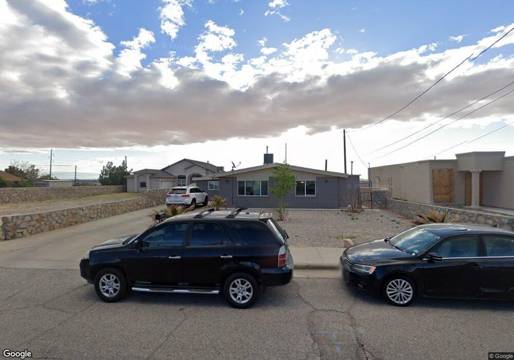
8600 Comet St Unit 1/2 El Paso, TX 79904
Sunrise Acres NeighborhoodEstimated Value: $193,204 - $227,000
3
Beds
2
Baths
1,523
Sq Ft
$137/Sq Ft
Est. Value
About This Home
This home is located at 8600 Comet St Unit 1/2, El Paso, TX 79904 and is currently estimated at $209,051, approximately $137 per square foot. 8600 Comet St Unit 1/2 is a home located in El Paso County with nearby schools including Park Elementary School, Canyon Hills Middle School, and Chapin High School.
Ownership History
Date
Name
Owned For
Owner Type
Purchase Details
Closed on
Jan 23, 2020
Sold by
Lp Home Creations Llc
Bought by
Tafua Andy Taufafo
Current Estimated Value
Home Financials for this Owner
Home Financials are based on the most recent Mortgage that was taken out on this home.
Original Mortgage
$155,000
Interest Rate
2.8%
Mortgage Type
VA
Purchase Details
Closed on
Apr 12, 2019
Sold by
Santoscoy Luciano Ricardo
Bought by
Lp Home Creations Llc
Create a Home Valuation Report for This Property
The Home Valuation Report is an in-depth analysis detailing your home's value as well as a comparison with similar homes in the area
Home Values in the Area
Average Home Value in this Area
Purchase History
| Date | Buyer | Sale Price | Title Company |
|---|---|---|---|
| Tafua Andy Taufafo | -- | None Available | |
| Lp Home Creations Llc | -- | None Available |
Source: Public Records
Mortgage History
| Date | Status | Borrower | Loan Amount |
|---|---|---|---|
| Previous Owner | Tafua Andy Taufafo | $155,000 |
Source: Public Records
Tax History
| Year | Tax Paid | Tax Assessment Tax Assessment Total Assessment is a certain percentage of the fair market value that is determined by local assessors to be the total taxable value of land and additions on the property. | Land | Improvement |
|---|---|---|---|---|
| 2025 | -- | $170,363 | -- | -- |
| 2024 | -- | $154,875 | -- | -- |
| 2023 | $3,895 | $140,795 | $0 | $0 |
| 2022 | $4,299 | $145,223 | $19,665 | $125,558 |
| 2021 | $3,633 | $116,359 | $19,665 | $96,694 |
| 2020 | $2,557 | $83,198 | $19,665 | $63,533 |
| 2019 | $2,490 | $83,198 | $19,665 | $63,533 |
| 2018 | $2,436 | $82,293 | $19,665 | $62,628 |
| 2017 | $2,291 | $81,348 | $19,665 | $61,683 |
| 2016 | $2,291 | $81,348 | $19,665 | $61,683 |
| 2015 | $2,273 | $81,348 | $19,665 | $61,683 |
| 2014 | $2,273 | $83,077 | $19,665 | $63,412 |
Source: Public Records
Map
Nearby Homes
- 8601 Polaris St
- 3821 Quill Ct
- 8609 Mercury St Unit AB
- TBD Edgar Park Ave
- 8825 Polaris St
- 8811 Neptune St
- 4021 Olympic Ab Ave
- 8708 Magnetic St
- 4936 Titanic Ave
- TBD Magnetic Dr
- 3317 Zircon Dr
- 3705 Volcanic Ave
- 3405 Olympic Ave
- 8715 Lawson St
- 3405 Volcanic Ave
- 4225 Atlas Ave
- 3309 Craigo Ave
- 8845 Lawson St
- 3238 Stone Edge Rd
- 8920 Kenneth St
Your Personal Tour Guide
Ask me questions while you tour the home.