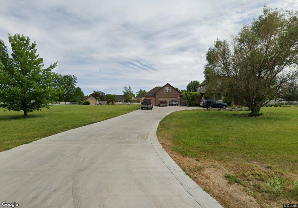
8600 W Tarp Dr Boise, ID 83709
Southwest Boise NeighborhoodEstimated Value: $954,000 - $1,106,517
4
Beds
4
Baths
3,713
Sq Ft
$275/Sq Ft
Est. Value
About This Home
This home is located at 8600 W Tarp Dr, Boise, ID 83709 and is currently estimated at $1,020,379, approximately $274 per square foot. 8600 W Tarp Dr is a home located in Ada County with nearby schools including Silver Sage Elementary School, Lake Hazel Middle School, and Mountain View High School.
Ownership History
Date
Name
Owned For
Owner Type
Purchase Details
Closed on
Jul 25, 2000
Sold by
Huckleberry Estates Llc
Bought by
Black Jeffery T and Black Robin R
Current Estimated Value
Home Financials for this Owner
Home Financials are based on the most recent Mortgage that was taken out on this home.
Original Mortgage
$64,425
Interest Rate
7.82%
Mortgage Type
Purchase Money Mortgage
Create a Home Valuation Report for This Property
The Home Valuation Report is an in-depth analysis detailing your home's value as well as a comparison with similar homes in the area
Home Values in the Area
Average Home Value in this Area
Purchase History
| Date | Buyer | Sale Price | Title Company |
|---|---|---|---|
| Black Jeffery T | -- | First American |
Source: Public Records
Mortgage History
| Date | Status | Borrower | Loan Amount |
|---|---|---|---|
| Previous Owner | Black Jeffery T | $64,425 |
Source: Public Records
Tax History Compared to Growth
Tax History
| Year | Tax Paid | Tax Assessment Tax Assessment Total Assessment is a certain percentage of the fair market value that is determined by local assessors to be the total taxable value of land and additions on the property. | Land | Improvement |
|---|---|---|---|---|
| 2025 | $2,490 | $914,600 | -- | -- |
| 2024 | $2,487 | $747,600 | -- | -- |
| 2023 | $2,487 | $690,500 | $0 | $0 |
| 2022 | $2,855 | $783,100 | $0 | $0 |
| 2021 | $2,749 | $598,400 | $0 | $0 |
| 2020 | $3,144 | $517,900 | $0 | $0 |
| 2019 | $3,780 | $510,600 | $0 | $0 |
| 2018 | $3,435 | $451,900 | $0 | $0 |
| 2017 | $3,254 | $412,900 | $0 | $0 |
| 2016 | $3,226 | $390,100 | $0 | $0 |
| 2015 | $2,896 | $369,700 | $0 | $0 |
| 2012 | -- | $323,500 | $0 | $0 |
Source: Public Records
Map
Nearby Homes
- 9173 W Brogan Dr
- 6986 S Dewberry Ave
- 7887 W Orbit Dr
- 9266 W Lillywood Dr
- 9212 W Brogan Dr
- 7564 S Boysenberry Ave
- 7572 S Boysenberry Ave
- 9529 W Mossywood Dr
- 7585 W Blackberry Ct
- 9516 W Portola Dr
- 9178 W Stonewood Dr
- 7802 S Dewberry Ave
- 6434 S Banded Eagle Way
- 6410 S Banded Eagle Way
- 6596 S Banded Eagle Way
- 7280 W Crested Eagle Dr
- 6621 S Banded Eagle Way
- 7351 W Eagle Grove St
- 7352 W Eagle Grove St
- 7274 W Crested Eagle Dr
- 8600 W Tarp Dr
- 6821 S Star Struck Ave
- 8543 W Blackberry Ct
- 6773 S Star Struck Ave
- 8597 W Blackberry Ct
- 8557 W Tarp Dr
- 6876 S Lunar Ave
- 6725 S Star Struck Ave
- 6854 S Lunar Ave
- 8655 W Blackberry Ct
- 6924 S Lunar Ave
- 6954 S Lunar
- 8550 W Blackberry Ct
- 6830 S Lunar Ave
- 6831 S Lunar Ave
- 8624 W Blackberry Ct
- 8516 W Blackberry Ct
- 6876 S Star Struck Ave
- 6647 S Star Struck Ave
- 8349 W Blackberry Ct