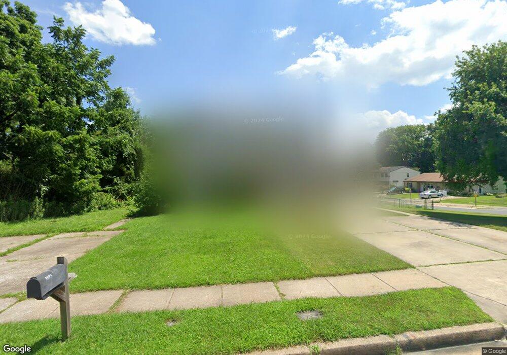
8601 Heathrow Rd Nottingham, MD 21236
Estimated Value: $210,000 - $270,000
2
Beds
2
Baths
1,116
Sq Ft
$224/Sq Ft
Est. Value
About This Home
This home is located at 8601 Heathrow Rd, Nottingham, MD 21236 and is currently estimated at $249,498, approximately $223 per square foot. 8601 Heathrow Rd is a home located in Baltimore County with nearby schools including Perry Hall Middle School, Perry Hall High School, and St Peters Christian Day School.
Ownership History
Date
Name
Owned For
Owner Type
Purchase Details
Closed on
Mar 27, 2009
Sold by
Fritzges Anna R
Bought by
Fritzges John C and Fritzges Anna R
Current Estimated Value
Purchase Details
Closed on
Feb 19, 2009
Sold by
Hart Michael C
Bought by
Fritzges Anna R and Fritzges John C
Purchase Details
Closed on
Aug 19, 2003
Sold by
Fajkowski Andrew S
Bought by
Hart Michael C
Create a Home Valuation Report for This Property
The Home Valuation Report is an in-depth analysis detailing your home's value as well as a comparison with similar homes in the area
Home Values in the Area
Average Home Value in this Area
Purchase History
| Date | Buyer | Sale Price | Title Company |
|---|---|---|---|
| Fritzges John C | -- | -- | |
| Fritzges Anna R | $120,750 | -- | |
| Hart Michael C | $155,900 | -- |
Source: Public Records
Tax History Compared to Growth
Tax History
| Year | Tax Paid | Tax Assessment Tax Assessment Total Assessment is a certain percentage of the fair market value that is determined by local assessors to be the total taxable value of land and additions on the property. | Land | Improvement |
|---|---|---|---|---|
| 2025 | $2,944 | $194,767 | -- | -- |
| 2024 | $2,944 | $188,133 | $0 | $0 |
| 2023 | $1,430 | $181,500 | $61,000 | $120,500 |
| 2022 | $2,763 | $179,233 | $0 | $0 |
| 2021 | $2,545 | $176,967 | $0 | $0 |
| 2020 | $2,687 | $174,700 | $61,000 | $113,700 |
| 2019 | $2,056 | $169,600 | $0 | $0 |
| 2018 | $2,503 | $164,500 | $0 | $0 |
| 2017 | $2,359 | $159,400 | $0 | $0 |
| 2016 | $3,140 | $159,400 | $0 | $0 |
| 2015 | $3,140 | $159,400 | $0 | $0 |
| 2014 | $3,140 | $167,300 | $0 | $0 |
Source: Public Records
Map
Nearby Homes
- 4234 Necker Ave
- 8713 Belair Rd
- 4106 Link Ave
- 4230 Silver Spring Rd
- 3754 Foxford Stream Rd
- 3715 Foxford Stream Rd
- 3721 Foxford Stream Rd
- 4305 Silver Spring Rd
- 3919 Link Ave
- 4402 Cole Farm Rd
- 3750 Timahoe Cir
- 21 Gilland Ct
- 32 Gilland Ct
- 9006 Naygall Rd
- 19 Perry Woods Ct
- 8330 Belair Rd
- 21 Neves Ct
- 24 Neves Ct
- 4106 Chardel Rd Unit 2G
- 19 Burnsway Ct
- 8603 Heathrow Rd
- 4216 Slater Ave
- 4218 Slater Ave
- 4201 Winterode Way
- 4220 Slater Ave
- 4215 Slater Ave
- 8600 Heathrow Rd
- 8600 Hickory Thicket Place
- 8602 Heathrow Rd
- 4217 Slater Ave
- 4222 Slater Ave
- 4203 Winterode Way
- 4224 Slater Ave
- 4221 Slater Ave
- 4205 Winterode Way
- 4226 Slater Ave
- 8602 Hickory Thicket Place
- 4223 Slater Ave
- 4225 Slater Ave
- 4228 Slater Ave
