Estimated Value: $380,000 - $405,000
4
Beds
3
Baths
3,124
Sq Ft
$125/Sq Ft
Est. Value
About This Home
This home is located at 8601 N 2100 East Rd, Downs, IL 61736 and is currently estimated at $389,440, approximately $124 per square foot. 8601 N 2100 East Rd is a home located in McLean County with nearby schools including Tri-Valley Elementary School, Tri-Valley Middle School, and Tri-Valley High School.
Ownership History
Date
Name
Owned For
Owner Type
Purchase Details
Closed on
Oct 5, 2020
Sold by
Tocco Joseph S and Tocco Michele L
Bought by
Williams Tomeika
Current Estimated Value
Home Financials for this Owner
Home Financials are based on the most recent Mortgage that was taken out on this home.
Original Mortgage
$246,050
Outstanding Balance
$218,848
Interest Rate
2.9%
Mortgage Type
New Conventional
Estimated Equity
$170,592
Purchase Details
Closed on
Sep 7, 2012
Sold by
Rupert Michael Earl and Rupert Regina Grace Clymer
Bought by
Tocco Joseph S and Tocco Michelle L
Home Financials for this Owner
Home Financials are based on the most recent Mortgage that was taken out on this home.
Original Mortgage
$196,800
Interest Rate
3.5%
Purchase Details
Closed on
Nov 16, 2007
Sold by
Hintzman Peter J and Hintzman Jayne A
Bought by
Rupert Michael Earl and Clymer Rupert Regina Grace
Home Financials for this Owner
Home Financials are based on the most recent Mortgage that was taken out on this home.
Original Mortgage
$206,000
Interest Rate
6.47%
Mortgage Type
New Conventional
Create a Home Valuation Report for This Property
The Home Valuation Report is an in-depth analysis detailing your home's value as well as a comparison with similar homes in the area
Purchase History
| Date | Buyer | Sale Price | Title Company |
|---|---|---|---|
| Williams Tomeika | $259,000 | Alliance Land Title | |
| Tocco Joseph S | $246,000 | None Available | |
| Rupert Michael Earl | $262,500 | None Available |
Source: Public Records
Mortgage History
| Date | Status | Borrower | Loan Amount |
|---|---|---|---|
| Open | Williams Tomeika | $246,050 | |
| Previous Owner | Tocco Joseph S | $196,800 | |
| Previous Owner | Rupert Michael Earl | $206,000 |
Source: Public Records
Tax History
| Year | Tax Paid | Tax Assessment Tax Assessment Total Assessment is a certain percentage of the fair market value that is determined by local assessors to be the total taxable value of land and additions on the property. | Land | Improvement |
|---|---|---|---|---|
| 2025 | $9,968 | $156,776 | $25,599 | $131,177 |
| 2024 | $8,118 | $124,500 | $24,294 | $100,206 |
| 2022 | $8,118 | $127,302 | $20,786 | $106,516 |
| 2021 | $7,835 | $102,429 | $19,990 | $82,439 |
| 2020 | $7,844 | $102,429 | $19,990 | $82,439 |
| 2019 | $7,846 | $102,429 | $19,990 | $82,439 |
| 2018 | $7,784 | $98,626 | $19,833 | $78,793 |
| 2017 | $6,822 | $87,101 | $9,633 | $77,468 |
| 2016 | $6,777 | $86,298 | $9,544 | $76,754 |
| 2015 | $6,697 | $85,681 | $9,476 | $76,205 |
| 2014 | $6,325 | $83,910 | $9,280 | $74,630 |
| 2013 | -- | $83,910 | $9,280 | $74,630 |
Source: Public Records
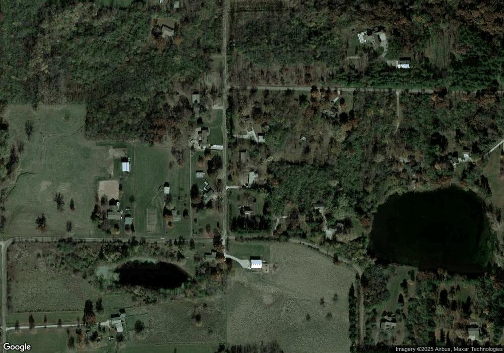
Map
Nearby Homes
- 8198 Pine Ave
- 500 Raef Rd
- 19889 Jared Dr
- 19977 Jared Dr
- 103 Bowz Dr
- 109 Dugan Trail
- 19710 Nottingham Dr
- 9580 Janel Dr
- 19042 Whisper Ln
- 18864 Pioneer St
- 18788 U S 150
- Lot 8 E 700 Rd N
- Lot 7 Burr Oak Ln
- 6105 Wrigley Dr
- 2 Bucktown Ct
- 6 Bucktown Ct
- 6002 Jackpine Rd
- 1517 Kell Ave
- 5104 Finlen Ln
- 5101 Londonderry Rd
- 8601 County Road 2100 E
- 8527 N 2100 East Rd
- 8560 N 2100 East Rd
- 8560 County Road 2100 E
- 8681 N 2100 East Rd
- 8672 N 2100 East Rd
- 20991 E 850 North Rd
- 20944 E 850 North Rd
- 21040 Hawthorne Ridge Rd
- 21117 Hawthorne Arbor Ln
- 20882 E 850 North Rd
- 21199 Hawthorne Arbor Ln
- 8786 N 2100 East Rd
- 21166 Hawthorne Ridge Rd
- 21407 Hawthorne Arbor Ln
- 8423 N 2075 East Rd
- 20754 E 850 North Rd
- 21411 Hawthorne Arbor Ln
- 21222 Hawthorne Ridge Rd
- 21222 Hawthorne Ridge Rd
Your Personal Tour Guide
Ask me questions while you tour the home.