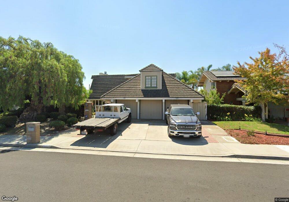
8602 Bayonne Dr Huntington Beach, CA 92646
Estimated Value: $1,748,000 - $2,147,000
4
Beds
3
Baths
2,952
Sq Ft
$661/Sq Ft
Est. Value
About This Home
This home is located at 8602 Bayonne Dr, Huntington Beach, CA 92646 and is currently estimated at $1,952,378, approximately $661 per square foot. 8602 Bayonne Dr is a home located in Orange County with nearby schools including William T. Newland Elementary, Talbert Middle School, and Huntington Beach High School.
Ownership History
Date
Name
Owned For
Owner Type
Purchase Details
Closed on
Jan 4, 2019
Sold by
Stratz Marc and Stratz Sheri Bottini
Bought by
Stratz Marc C and Stratz Sheri Bottini
Current Estimated Value
Purchase Details
Closed on
May 20, 1999
Sold by
Marc Stratz and Marc Sheri B
Bought by
Stratz Marc C and Stratz Sheri B
Home Financials for this Owner
Home Financials are based on the most recent Mortgage that was taken out on this home.
Original Mortgage
$240,000
Interest Rate
6.86%
Create a Home Valuation Report for This Property
The Home Valuation Report is an in-depth analysis detailing your home's value as well as a comparison with similar homes in the area
Home Values in the Area
Average Home Value in this Area
Purchase History
| Date | Buyer | Sale Price | Title Company |
|---|---|---|---|
| Stratz Marc C | -- | None Available | |
| Stratz Marc C | -- | North American Title Co |
Source: Public Records
Mortgage History
| Date | Status | Borrower | Loan Amount |
|---|---|---|---|
| Closed | Stratz Marc C | $240,000 |
Source: Public Records
Tax History Compared to Growth
Tax History
| Year | Tax Paid | Tax Assessment Tax Assessment Total Assessment is a certain percentage of the fair market value that is determined by local assessors to be the total taxable value of land and additions on the property. | Land | Improvement |
|---|---|---|---|---|
| 2025 | $7,151 | $638,032 | $401,187 | $236,845 |
| 2024 | $7,151 | $625,522 | $393,321 | $232,201 |
| 2023 | $6,982 | $613,257 | $385,608 | $227,649 |
| 2022 | $6,879 | $601,233 | $378,047 | $223,186 |
| 2021 | $6,745 | $589,445 | $370,635 | $218,810 |
| 2020 | $6,705 | $583,401 | $366,834 | $216,567 |
| 2019 | $6,567 | $571,962 | $359,641 | $212,321 |
| 2018 | $6,440 | $560,748 | $352,590 | $208,158 |
| 2017 | $6,337 | $549,753 | $345,676 | $204,077 |
| 2016 | $6,065 | $538,974 | $338,898 | $200,076 |
| 2015 | $5,972 | $530,879 | $333,808 | $197,071 |
| 2014 | $5,854 | $520,480 | $327,269 | $193,211 |
Source: Public Records
Map
Nearby Homes
- 8582 Salt Lake Dr
- 8291 Polk Cir
- 8242 Grant Dr
- 19362 Weymouth Ln
- 9121 Madeline Dr
- 9172 Veronica Dr
- 8120 Islandview Cir Unit C
- 19321 Beach Blvd
- 20131 Crown Reef Ln
- 19202 Hickory Ln
- 18862 Carolyn Ln
- 8472 Norfolk Dr
- 20191 Imperial Cove Ln
- 18963 Acacia St
- 20162 S New Britain Ln
- 20251 Lighthouse Ln
- 18785 Heavenwood Cir Unit C171
- 18601 Newland St Unit 59
- 18601 Newland St Unit 12
- 18601 Newland St Unit 71
- 8592 Bayonne Dr
- 8612 Bayonne Dr
- 8582 Bayonne Dr
- 8601 Bayonne Dr
- 8591 Bayonne Dr
- 8611 Bayonne Dr
- 8562 Bayonne Dr
- 8642 Bayonne Dr
- 8601 Salt Lake Dr
- 8591 Salt Lake Dr
- 8581 Bayonne Dr
- 8611 Salt Lake Dr
- 8621 Salt Lake Dr
- 8561 Bayonne Dr
- 8641 Bayonne Dr
- 8552 Bayonne Dr
- 8652 Bayonne Dr
- 8602 Palermo Dr
- 8561 Salt Lake Dr
- 8641 Salt Lake Dr