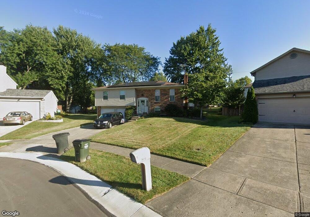
8608 Toronto Ct Cincinnati, OH 45255
Estimated Value: $297,561 - $339,000
3
Beds
3
Baths
1,562
Sq Ft
$206/Sq Ft
Est. Value
About This Home
This home is located at 8608 Toronto Ct, Cincinnati, OH 45255 and is currently estimated at $321,890, approximately $206 per square foot. 8608 Toronto Ct is a home located in Hamilton County with nearby schools including Summit Elementary School, Nagel Middle School, and Anderson High School.
Ownership History
Date
Name
Owned For
Owner Type
Purchase Details
Closed on
Jan 31, 1998
Sold by
Steffens Norman Lee
Bought by
Wolfe Edward J and Wolfe Ann S
Current Estimated Value
Home Financials for this Owner
Home Financials are based on the most recent Mortgage that was taken out on this home.
Original Mortgage
$105,450
Outstanding Balance
$16,615
Interest Rate
7.23%
Estimated Equity
$305,275
Create a Home Valuation Report for This Property
The Home Valuation Report is an in-depth analysis detailing your home's value as well as a comparison with similar homes in the area
Home Values in the Area
Average Home Value in this Area
Purchase History
| Date | Buyer | Sale Price | Title Company |
|---|---|---|---|
| Wolfe Edward J | $111,000 | -- |
Source: Public Records
Mortgage History
| Date | Status | Borrower | Loan Amount |
|---|---|---|---|
| Open | Wolfe Edward J | $105,450 |
Source: Public Records
Tax History
| Year | Tax Paid | Tax Assessment Tax Assessment Total Assessment is a certain percentage of the fair market value that is determined by local assessors to be the total taxable value of land and additions on the property. | Land | Improvement |
|---|---|---|---|---|
| 2025 | $4,935 | $78,852 | $14,329 | $64,523 |
| 2023 | $4,563 | $78,852 | $14,329 | $64,523 |
| 2022 | $3,682 | $56,637 | $12,453 | $44,184 |
| 2021 | $3,595 | $56,637 | $12,453 | $44,184 |
| 2020 | $3,637 | $56,637 | $12,453 | $44,184 |
| 2019 | $3,545 | $50,124 | $11,022 | $39,102 |
| 2018 | $3,321 | $50,124 | $11,022 | $39,102 |
| 2017 | $3,133 | $50,124 | $11,022 | $39,102 |
| 2016 | $3,007 | $47,005 | $10,801 | $36,204 |
| 2015 | $2,921 | $47,005 | $10,801 | $36,204 |
| 2014 | $2,923 | $47,005 | $10,801 | $36,204 |
| 2013 | $2,821 | $47,965 | $11,022 | $36,943 |
Source: Public Records
Map
Nearby Homes
- 8602 Linderwood Ln
- 464 Gablefield Ct
- 1682 Citadel Place
- 8586 Sunmont Dr
- 8524 Sunmont Dr
- 1333 Eight Mile Rd
- 1757 Muskegon Dr
- 1251 Eight Mile Rd
- 1753 Citadel Place
- 1748 Hilltree Dr
- 8446 Summitridge Dr
- 496 Mapleleaf Dr
- 8403 Summitridge Dr
- 1400 Sigma Cir
- 8303 Tidewater Ct
- 212 Duchess Ln
- 1038 8 Mile Rd
- 4009 Williams Dr
- 2015 Tall Pines Ln
- 1001 Duxbury Ct
- 8616 Toronto Ct
- 8600 Toronto Ct
- 8625 Manitoba Dr
- 8619 Manitoba Dr
- 8631 Manitoba Dr
- 8607 Manitoba Dr
- 8601 Toronto Ct
- 8599 Manitoba Dr
- 8637 Manitoba Dr
- 8609 Toronto Ct
- 8617 Toronto Ct
- 8632 Toronto Ct
- 8589 Manitoba Dr
- 8625 Toronto Ct
- 8643 Manitoba Dr
- 8581 Manitoba Dr
- 8640 Toronto Ct
- 8633 Toronto Ct
- 8594 Coran Dr
- 8602 Coran Dr
Your Personal Tour Guide
Ask me questions while you tour the home.