Estimated Value: $200,972 - $270,000
--
Bed
1
Bath
968
Sq Ft
$243/Sq Ft
Est. Value
About This Home
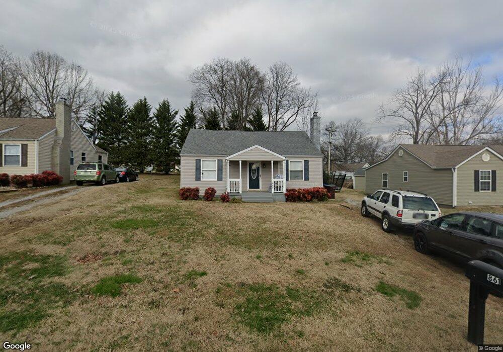
This home is located at 861 Burroughs Rd, Alcoa, TN 37701 and is currently estimated at $235,493, approximately $243 per square foot. 861 Burroughs Rd is a home located in Blount County with nearby schools including Alcoa Elementary School, Alcoa Middle School, and Alcoa High School.
Ownership History
Date
Name
Owned For
Owner Type
Purchase Details
Closed on
Jun 8, 2021
Sold by
Greene Wilda Alva
Bought by
Greene Wilda Alba and Alva Greene 2004 Rev Tr
Current Estimated Value
Purchase Details
Closed on
Mar 17, 2014
Sold by
Greene Wilda A
Bought by
Greene Wilda Alva
Purchase Details
Closed on
Mar 31, 2009
Bought by
Greene Wilda A
Purchase Details
Closed on
May 10, 2006
Bought by
Blue Ribbon Homes Com Inc
Purchase Details
Closed on
May 1, 1991
Bought by
Monday Robert W
Purchase Details
Closed on
Sep 1, 1947
Bought by
Monday William Eugene
Create a Home Valuation Report for This Property
The Home Valuation Report is an in-depth analysis detailing your home's value as well as a comparison with similar homes in the area
Home Values in the Area
Average Home Value in this Area
Purchase History
| Date | Buyer | Sale Price | Title Company |
|---|---|---|---|
| Greene Wilda Alba | -- | -- | |
| Greene Wilda Alva | -- | -- | |
| Greene Wilda A | $1,620,000 | -- | |
| Blue Ribbon Homes Com Inc | $2,036,100 | -- | |
| Monday Robert W | $350,000 | -- | |
| Monday William Eugene | -- | -- |
Source: Public Records
Tax History Compared to Growth
Tax History
| Year | Tax Paid | Tax Assessment Tax Assessment Total Assessment is a certain percentage of the fair market value that is determined by local assessors to be the total taxable value of land and additions on the property. | Land | Improvement |
|---|---|---|---|---|
| 2024 | $1,326 | $40,425 | $10,125 | $30,300 |
| 2023 | $643 | $40,425 | $10,125 | $30,300 |
| 2022 | $1,173 | $24,750 | $5,625 | $19,125 |
| 2021 | $1,173 | $24,750 | $5,625 | $19,125 |
| 2020 | $1,173 | $24,750 | $5,625 | $19,125 |
| 2019 | $1,173 | $24,750 | $5,625 | $19,125 |
| 2018 | $972 | $21,950 | $5,625 | $16,325 |
| 2017 | $972 | $21,950 | $5,625 | $16,325 |
| 2016 | $972 | $21,950 | $5,625 | $16,325 |
| 2015 | $902 | $21,950 | $5,625 | $16,325 |
| 2014 | $996 | $21,950 | $5,625 | $16,325 |
| 2013 | $996 | $24,250 | $0 | $0 |
Source: Public Records
Map
Nearby Homes
- 1852 Kettering Rd
- 1761 Dalton St
- 1765 N Wright Rd
- 653 E Hunt Rd
- 1791 Ramsay St
- 1533 Springbrook Rd
- 1340 Dalton St
- 1321 Nobel St Unit E
- 947 Poplar St
- 0 N Wright Rd
- 946 Poplar St
- 960 Poplar St
- 966 Poplar St
- 1574 Tsuga Dr
- 1439 St Thomas Way
- 1420 St Thomas Way
- 1536 Tsuga Dr
- 1569 Ashwood Place
- 1534 Tsuga Dr
- 1439 Edenbridge Dr
- 855 Burroughs Rd
- 871 Burroughs Rd
- 849 Burroughs Rd
- 1823 Kettering Rd
- 1827 Kettering Rd
- 1817 Kettering Rd
- 878 Long Rd
- 870 Long Rd
- 860 Burroughs Rd
- 868 Burroughs Rd
- 843 Burroughs Rd
- 1813 Kettering Rd
- 1841 Kettering Rd
- 864 Long Rd
- 854 Burroughs Rd
- 874 Burroughs Rd
- 848 Burroughs Rd
- 858 Long Rd
- 1795 Kettering Rd
- 1804 Dalton St