861 Reesedale Rd Adrian, PA 16210
Washington Township NeighborhoodEstimated Value: $99,000 - $135,000
3
Beds
1
Bath
1,232
Sq Ft
$100/Sq Ft
Est. Value
About This Home
This home is located at 861 Reesedale Rd, Adrian, PA 16210 and is currently estimated at $123,243, approximately $100 per square foot. 861 Reesedale Rd is a home located in Armstrong County with nearby schools including West Hills Intermediate School and West Hills Primary School.
Ownership History
Date
Name
Owned For
Owner Type
Purchase Details
Closed on
Jan 30, 2024
Sold by
Hooks Blair W and Hooks Linda L
Bought by
Toy Travis John
Current Estimated Value
Home Financials for this Owner
Home Financials are based on the most recent Mortgage that was taken out on this home.
Original Mortgage
$124,141
Outstanding Balance
$121,947
Interest Rate
6.61%
Mortgage Type
Credit Line Revolving
Estimated Equity
$1,296
Purchase Details
Closed on
Sep 21, 2021
Sold by
Hooks Blair W and Hooks Linda L
Bought by
Glade Park Gas Lp
Purchase Details
Closed on
Sep 27, 2019
Sold by
Hooks Judy Ann and Hooks Blair W
Bought by
Hooks Blair W and Hooks Linda L
Purchase Details
Closed on
Jun 14, 1991
Create a Home Valuation Report for This Property
The Home Valuation Report is an in-depth analysis detailing your home's value as well as a comparison with similar homes in the area
Home Values in the Area
Average Home Value in this Area
Purchase History
| Date | Buyer | Sale Price | Title Company |
|---|---|---|---|
| Toy Travis John | $102,000 | None Listed On Document | |
| Glade Park Gas Lp | $1,227 | None Available | |
| Glade Park Gas Lp | $1,227 | None Listed On Document | |
| Hooks Blair W | -- | None Available | |
| -- | -- | -- |
Source: Public Records
Mortgage History
| Date | Status | Borrower | Loan Amount |
|---|---|---|---|
| Open | Toy Travis John | $124,141 |
Source: Public Records
Tax History Compared to Growth
Tax History
| Year | Tax Paid | Tax Assessment Tax Assessment Total Assessment is a certain percentage of the fair market value that is determined by local assessors to be the total taxable value of land and additions on the property. | Land | Improvement |
|---|---|---|---|---|
| 2025 | $2,364 | $27,500 | $15,990 | $11,510 |
| 2024 | $2,226 | $27,500 | $15,990 | $11,510 |
| 2023 | $1,849 | $27,500 | $15,990 | $11,510 |
| 2022 | $1,849 | $27,500 | $15,990 | $11,510 |
| 2021 | $1,849 | $27,500 | $15,990 | $11,510 |
| 2020 | $1,849 | $27,500 | $15,990 | $11,510 |
| 2019 | $1,849 | $27,500 | $15,990 | $11,510 |
| 2018 | $1,847 | $22,845 | $6,405 | $16,440 |
| 2017 | $1,833 | $27,500 | $15,990 | $11,510 |
| 2016 | $1,833 | $27,500 | $15,990 | $11,510 |
| 2015 | $1,338 | $27,500 | $15,990 | $11,510 |
| 2014 | $1,338 | $27,500 | $15,990 | $11,510 |
Source: Public Records
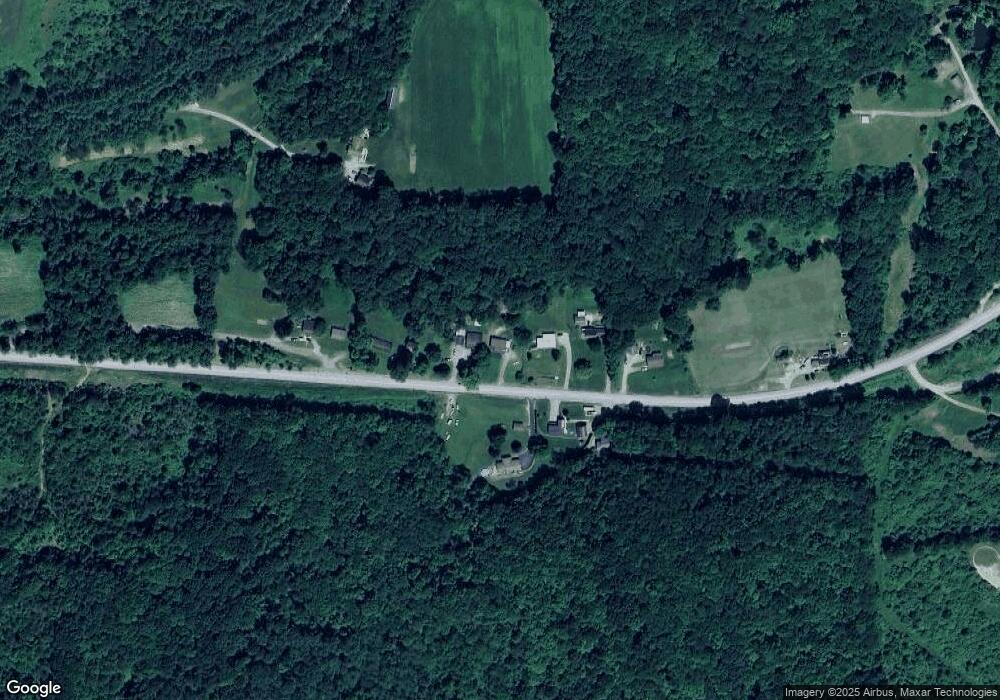
Map
Nearby Homes
- 1028 State Route 268
- 130 State Route 1032
- 106 Pence Rd
- 487 E Brady Rd
- 336 Walkchalk Rd
- 397 E Brady Rd
- 223 Cedar Dr
- 1409 Orr Ave
- 334 Lemmon Hollow Rd
- 712 Stewartson Rd
- 293 Troy Hill Rd
- 1033 Wilson Ave
- 1017 Johnston Ave
- 801 Pennsylvania 28
- 935 Orr Ave
- 422-424 Highland Ave
- 536 1/2 Butler Rd
- 166 Clearfield Pike
- 435 1/2 Reesman Dr Unit 2
- 509 N Jefferson St
- 855 Reesedale Rd
- 873 Reesedale Rd
- 864 Reesedale Rd
- 862 Reesedale Rd
- 862 Reesedale Rd
- 872 Reesedale Rd
- 139 Wolfe Rd
- 156 Ridge Rd
- 893 Reesedale Rd
- 131 Gravel Dr
- 138 Gravel Dr
- 116 Lower Limestone Rd
- 114 Gravel Dr
- 951 Reesedale Rd
- 109 Ridge Rd
- 140 Lower Limestone Rd
- 101 Ridge Rd
- 134 Adrian Sherrett Rd
- 763 Reesedale Rd
- 747 Reesedale Rd